22629 Upperville Heights Square
Ashburn, VA 20148
-
Bedrooms
3
-
Bathrooms
3.5
-
Square Feet
3,500 sq ft
-
Available
Available Aug 1
Highlights
- Water Views
- Pier or Dock
- Open Floorplan
- Lake Privileges
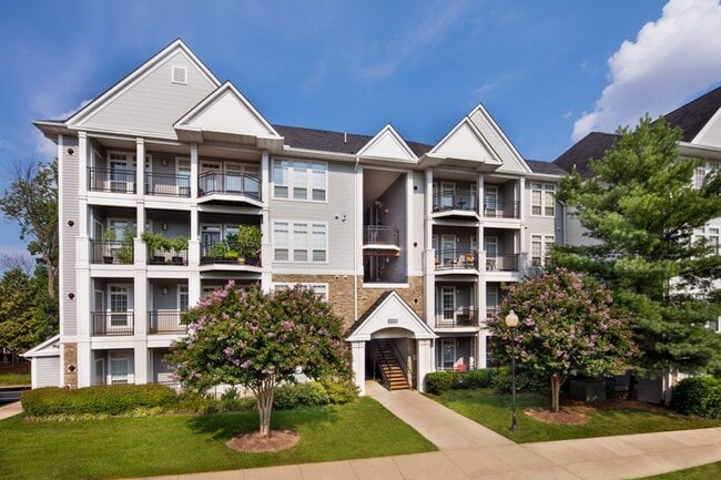
- Colonial Architecture
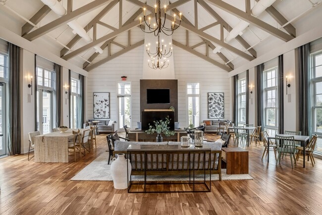
- Vaulted Ceiling

About This Home
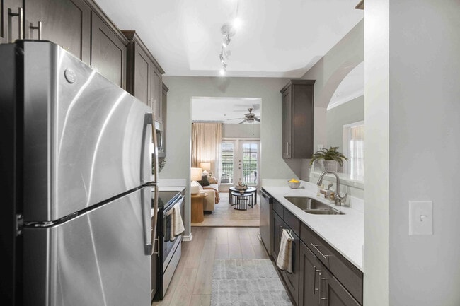
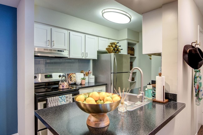
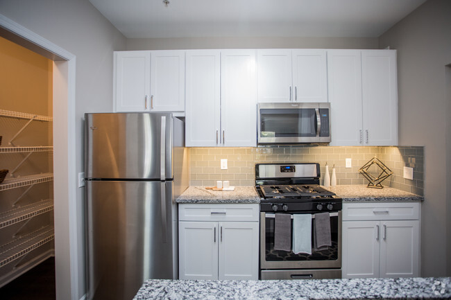
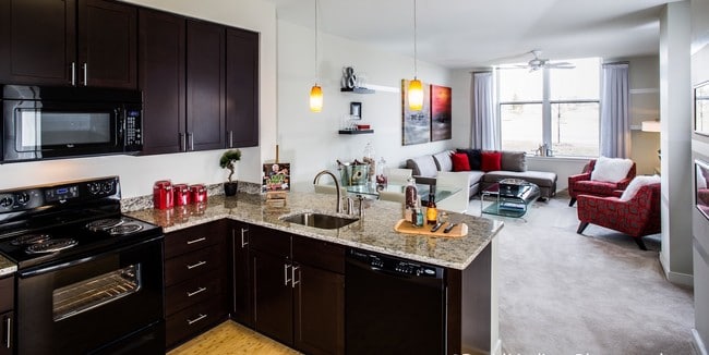
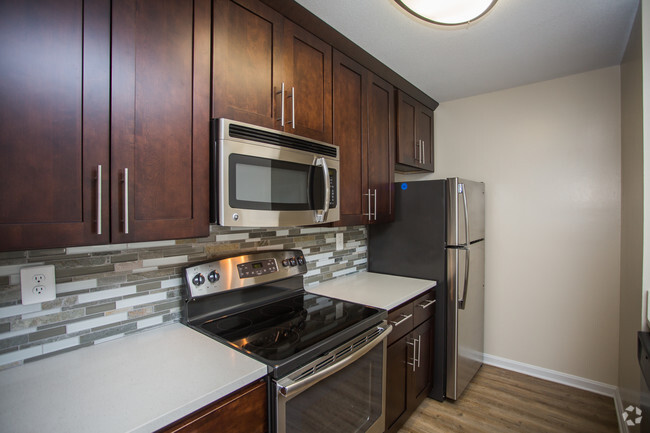
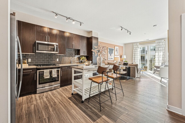
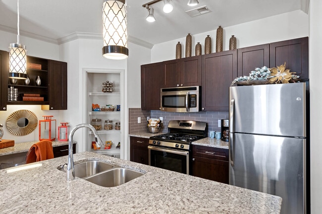
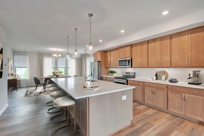
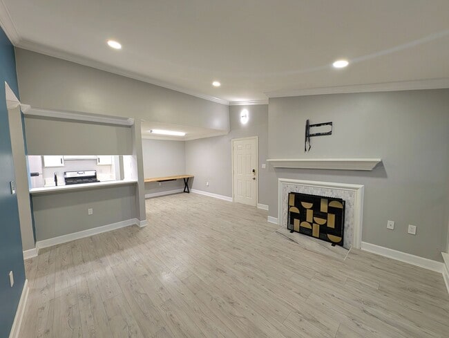
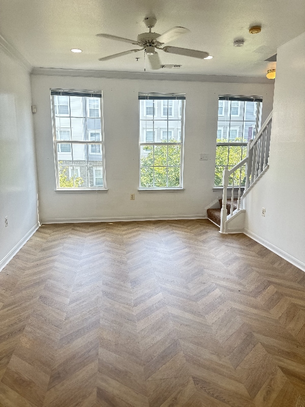
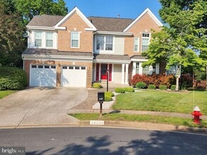
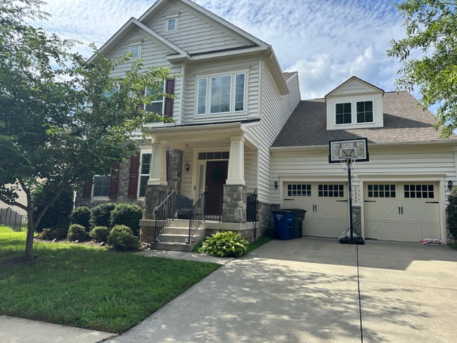
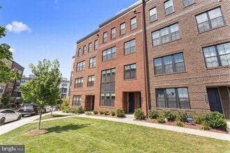
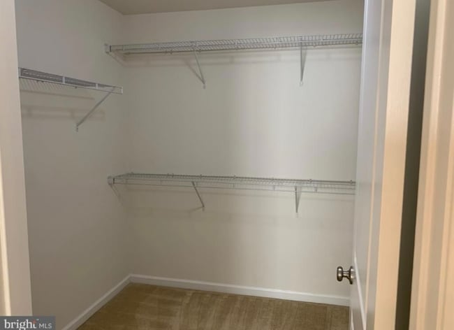
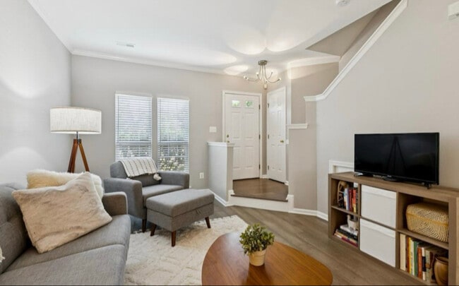
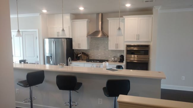
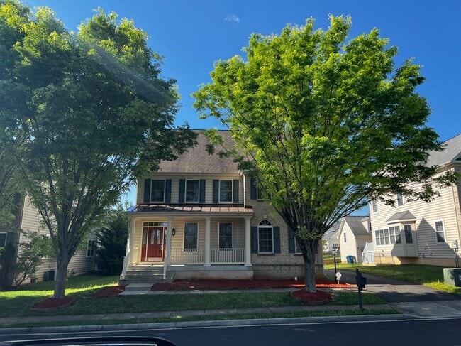
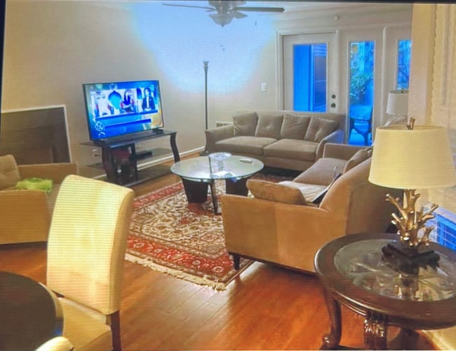
Only one family has lived in the house since it was built. Our tenant is leaving after 20 years. Contractors are working in the house. They are remodeling the bathroom upstairs in the hallway and installing a full bathroom on the first floor or basement. Additionally, they are installing new flooring on the first and second floors, and they will paint the entire house.
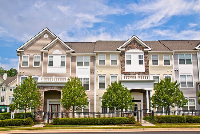
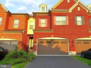
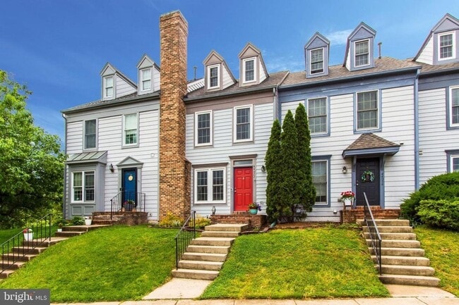
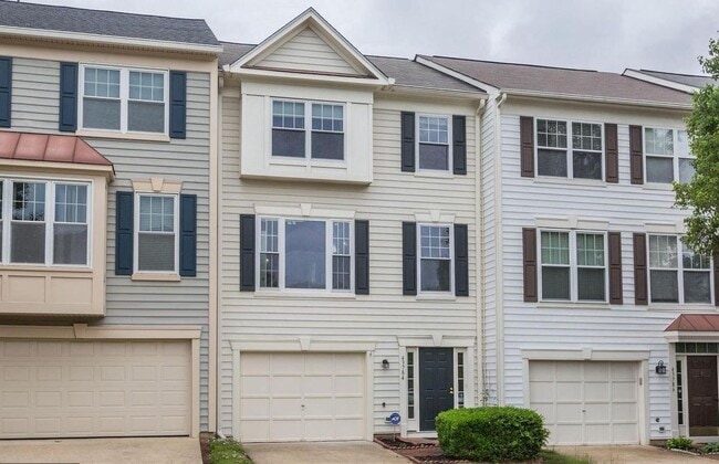
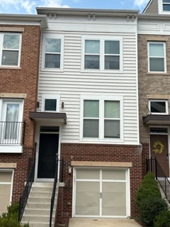
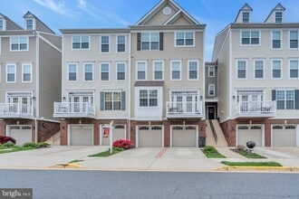
22629 Upperville Heights Square is a townhome located in Loudoun County and the 20148 ZIP Code. This area is served by the Loudoun County Public Schools attendance zone.
Home Details
Home Type
Year Built
Bedrooms and Bathrooms
Finished Basement
Home Design
Interior Spaces
Kitchen
Laundry
Listing and Financial Details
Lot Details
Outdoor Features
Parking
Utilities
Views
Community Details
Amenities
Overview
Pet Policy
Recreation
Contact
- Listed by Masoumeh Masouleh | Samson Properties
- Phone Number
- Contact
-
Source
Bright MLS, Inc.
- Fireplace
- Dishwasher
- Basement
Situated about 30 miles northwest of Washington, DC, Loudoun Valley Estates is an upscale, suburban neighborhood in Ashburn. Loudoun Valley Estates residents delight in close proximity to numerous shopping centers such as the Brambleton Town Center, Shoppes at Ryan Park, and the expansive Dulles Town Center Mall.
Families flock to Loudoun Valley Estates for its great public schools, modern amenities, and convenient locale. Loudoun Valley Estates is just a short drive away from attractions like Manassas National Battlefield Park, Bull Run Regional Park, and the Steven F. Udvar-Hazy Center as well as multiple vineyards and wineries. Commuting and traveling from Loudoun Valley Estates is a breeze with access to Route 267, U.S. 50, and Dulles International Airport.
Learn more about living in Loudoun Valley EstatesColleges & Universities | Distance | ||
---|---|---|---|
Colleges & Universities | Distance | ||
Drive: | 15 min | 7.1 mi | |
Drive: | 15 min | 7.3 mi | |
Drive: | 15 min | 7.6 mi | |
Drive: | 30 min | 19.8 mi |

View GreatSchools Rating Methodology
Data provided by GreatSchools.org © 2025. All rights reserved.
Transportation options available in Ashburn include Loudoun Gateway, Silver Line Center Platform, located 2.1 miles from 22629 Upperville Heights Square. 22629 Upperville Heights Square is near Washington Dulles International, located 6.9 miles or 16 minutes away, and Ronald Reagan Washington Ntl, located 31.8 miles or 48 minutes away.
Transit / Subway | Distance | ||
---|---|---|---|
Transit / Subway | Distance | ||
Drive: | 4 min | 2.1 mi | |
Drive: | 12 min | 6.0 mi | |
Drive: | 17 min | 9.6 mi | |
Drive: | 17 min | 10.3 mi |
Commuter Rail | Distance | ||
---|---|---|---|
Commuter Rail | Distance | ||
|
Drive: | 35 min | 20.2 mi |
Dickerson Marc Eb
|
Drive: | 51 min | 32.9 mi |
Dickerson Marc Eb
|
Drive: | 52 min | 33.0 mi |
|
Drive: | 61 min | 36.9 mi |
Drive: | 62 min | 41.2 mi |
Airports | Distance | ||
---|---|---|---|
Airports | Distance | ||
Washington Dulles International
|
Drive: | 16 min | 6.9 mi |
Ronald Reagan Washington Ntl
|
Drive: | 48 min | 31.8 mi |
Time and distance from 22629 Upperville Heights Square.
Shopping Centers | Distance | ||
---|---|---|---|
Shopping Centers | Distance | ||
Drive: | 4 min | 1.5 mi | |
Drive: | 6 min | 2.4 mi | |
Drive: | 6 min | 2.4 mi |
Parks and Recreation | Distance | ||
---|---|---|---|
Parks and Recreation | Distance | ||
Washington & Old Dominion Railroad Trail
|
Drive: | 9 min | 4.4 mi |
Claude Moore Park
|
Drive: | 13 min | 6.1 mi |
Frying Pan Farm Park
|
Drive: | 14 min | 7.8 mi |
Kidwell Farm
|
Drive: | 14 min | 7.8 mi |
Banshee Reeks Nature Preserve
|
Drive: | 14 min | 7.8 mi |
Hospitals | Distance | ||
---|---|---|---|
Hospitals | Distance | ||
Drive: | 13 min | 7.0 mi | |
Drive: | 16 min | 8.9 mi | |
Drive: | 16 min | 9.0 mi |
Military Bases | Distance | ||
---|---|---|---|
Military Bases | Distance | ||
Drive: | 48 min | 30.9 mi |
You May Also Like
Similar Rentals Nearby
What Are Walk Score®, Transit Score®, and Bike Score® Ratings?
Walk Score® measures the walkability of any address. Transit Score® measures access to public transit. Bike Score® measures the bikeability of any address.
What is a Sound Score Rating?
A Sound Score Rating aggregates noise caused by vehicle traffic, airplane traffic and local sources