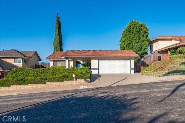
2240 Maywind Way
Hacienda Heights, CA 91745
-
Bedrooms
4
-
Bathrooms
2
-
Square Feet
1,901 sq ft
-
Available
Available Now
Highlights
- 2 Car Attached Garage
- Living Room
- Laundry Room
- Central Heating and Cooling System
- 1-Story Property

About This Home
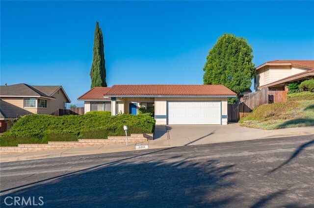
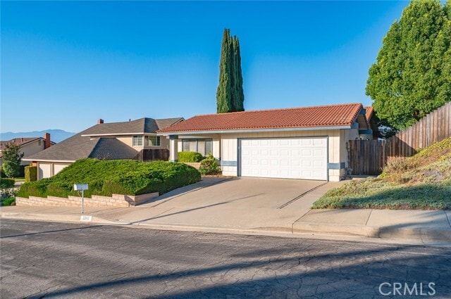
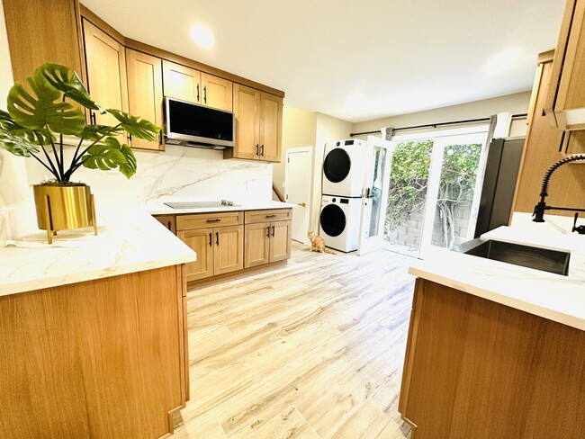
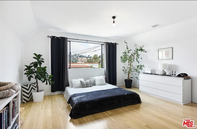
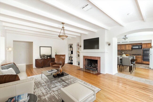
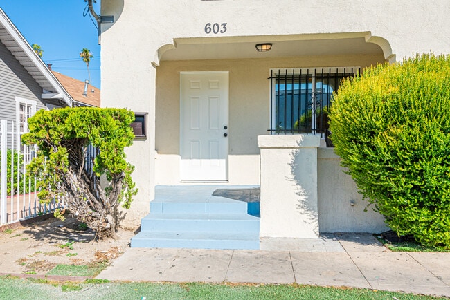
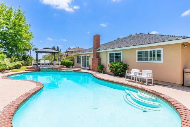
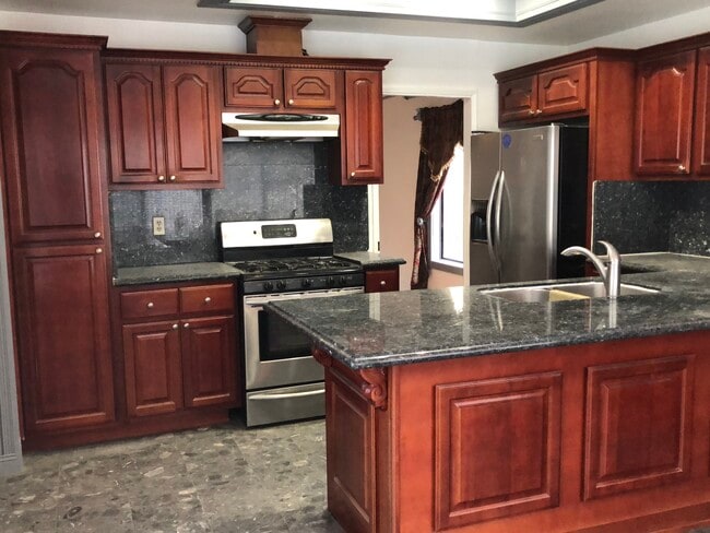
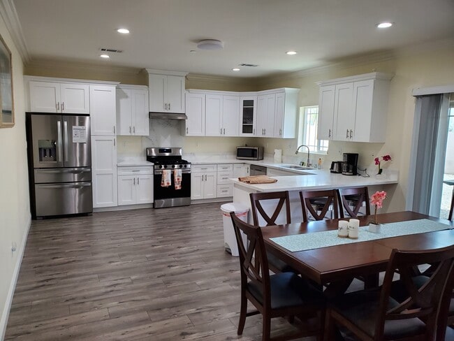
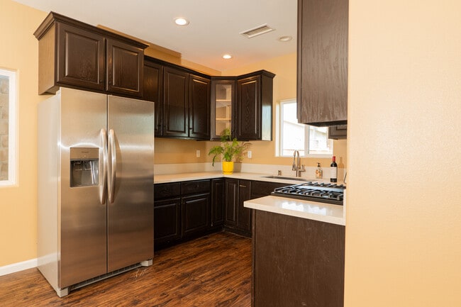
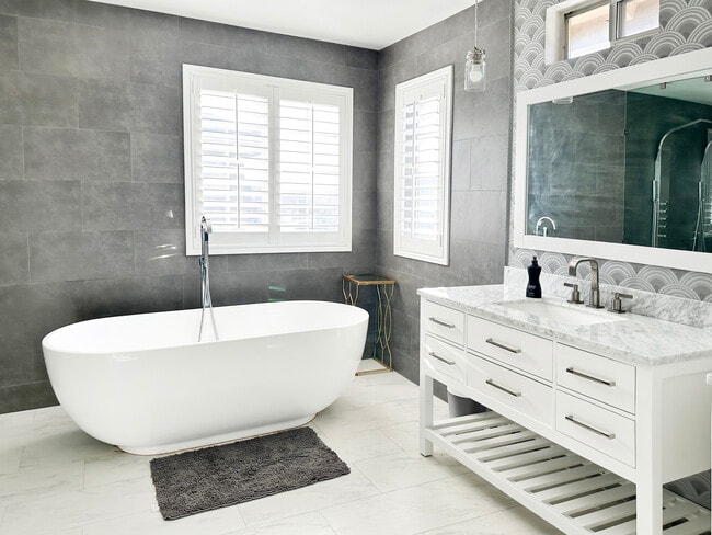
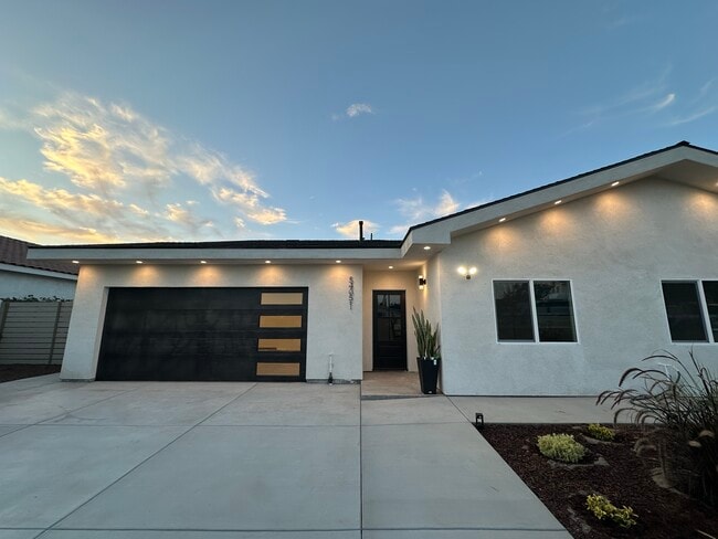
Location! Location! Location! Beautiful Single Story home in the Prime Location of Hacienda Heights. Open Floor with Large Living Room and Formal Dining Room. Freshly painted interior and exterior. Fully Remodeled Kitchen with New Cabinets and Quartz countertops. New Appliances. New Accessed Lighting throughout. Cozy Family Room with fireplace. Bright and Airy. 4 Good size Bedrooms and 2 Bathrooms. Large backyard with possibly ADU or addition. Red Tile Roof. Mountain View at the back. Close to 99 Ranch market and 168 Market shopping centers. Near Peter Schabarum Regional Park and Medical centers. banks, restaurants and Bus Stops Nearby. Staged Pictures for Dispaly only. MLS# TR25192768
2240 Maywind Way is a house located in Los Angeles County and the 91745 ZIP Code. This area is served by the Hacienda la Puente Unified attendance zone.
Home Details
Home Type
Year Built
Accessible Home Design
Bedrooms and Bathrooms
Interior Spaces
Laundry
Listing and Financial Details
Lot Details
Parking
Utilities
Community Details
Overview
Fees and Policies
The fees below are based on community-supplied data and may exclude additional fees and utilities.
- Parking
-
Other--
Details
Lease Options
-
12 Months
Contact
- Listed by Cathy Cheng | CC Royal Realty
- Phone Number
- Contact
-
Source
 California Regional Multiple Listing Service
- Air Conditioning
- Heating
- Fireplace
Located 20 miles east of Downtown Los Angeles, Hacienda La Puente lie in Los Angeles County. Known simply to locals as “Hacienda,” the area is home to a vibrant culture. State Route 60 runs through an urban hub with a suburban feel in the San Gabriel Valley region. Hacienda stretches into the hills, drawing a culturally diverse demographic. The neighborhood parks have stunning panoramic views, and local grocery stores stock a wide range of foods. Affordable apartments in and around Hacienda and the Hacienda Heights area will put you just minutes from the heart of LA.
Learn more about living in Hacienda La Puente| Colleges & Universities | Distance | ||
|---|---|---|---|
| Colleges & Universities | Distance | ||
| Drive: | 12 min | 6.2 mi | |
| Drive: | 15 min | 8.4 mi | |
| Drive: | 14 min | 8.5 mi | |
| Drive: | 14 min | 9.7 mi |
 The GreatSchools Rating helps parents compare schools within a state based on a variety of school quality indicators and provides a helpful picture of how effectively each school serves all of its students. Ratings are on a scale of 1 (below average) to 10 (above average) and can include test scores, college readiness, academic progress, advanced courses, equity, discipline and attendance data. We also advise parents to visit schools, consider other information on school performance and programs, and consider family needs as part of the school selection process.
View GreatSchools Rating Methodology
Data provided by GreatSchools.org © 2025. All rights reserved.
Transportation options available in Hacienda Heights include Irwindale Station, located 12.6 miles from 2240 Maywind Way. 2240 Maywind Way is near Ontario International, located 23.7 miles or 31 minutes away, and Long Beach (Daugherty Field), located 28.6 miles or 39 minutes away.
| Transit / Subway | Distance | ||
|---|---|---|---|
| Transit / Subway | Distance | ||
| Drive: | 22 min | 12.6 mi |
| Commuter Rail | Distance | ||
|---|---|---|---|
| Commuter Rail | Distance | ||
|
|
Drive: | 11 min | 7.0 mi |
|
|
Drive: | 16 min | 9.4 mi |
|
|
Drive: | 18 min | 10.6 mi |
|
|
Drive: | 18 min | 10.7 mi |
|
|
Drive: | 18 min | 11.7 mi |
| Airports | Distance | ||
|---|---|---|---|
| Airports | Distance | ||
|
Ontario International
|
Drive: | 31 min | 23.7 mi |
|
Long Beach (Daugherty Field)
|
Drive: | 39 min | 28.6 mi |
Time and distance from 2240 Maywind Way.
| Shopping Centers | Distance | ||
|---|---|---|---|
| Shopping Centers | Distance | ||
| Walk: | 11 min | 0.6 mi | |
| Walk: | 12 min | 0.6 mi | |
| Walk: | 18 min | 1.0 mi |
| Parks and Recreation | Distance | ||
|---|---|---|---|
| Parks and Recreation | Distance | ||
|
Schabarum Regional Park
|
Drive: | 6 min | 2.0 mi |
|
Galster Wilderness Park Nature Center
|
Drive: | 11 min | 5.9 mi |
|
La Habra Historical Museum
|
Drive: | 12 min | 6.9 mi |
|
Children's Museum at La Habra
|
Drive: | 13 min | 7.1 mi |
|
Whittier Narrows Nature Center
|
Drive: | 13 min | 9.2 mi |
| Hospitals | Distance | ||
|---|---|---|---|
| Hospitals | Distance | ||
| Drive: | 8 min | 5.0 mi | |
| Drive: | 15 min | 7.8 mi | |
| Drive: | 14 min | 7.8 mi |
| Military Bases | Distance | ||
|---|---|---|---|
| Military Bases | Distance | ||
| Drive: | 31 min | 17.5 mi |
You May Also Like
Similar Rentals Nearby
What Are Walk Score®, Transit Score®, and Bike Score® Ratings?
Walk Score® measures the walkability of any address. Transit Score® measures access to public transit. Bike Score® measures the bikeability of any address.
What is a Sound Score Rating?
A Sound Score Rating aggregates noise caused by vehicle traffic, airplane traffic and local sources
