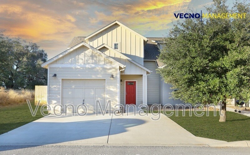
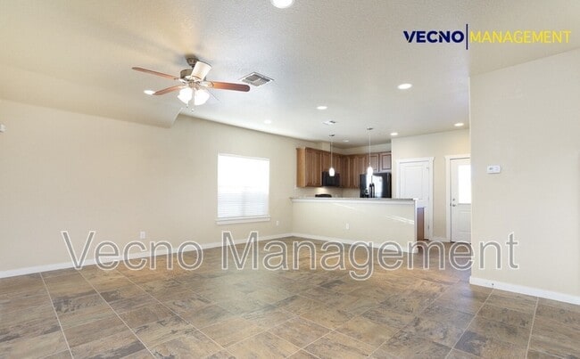
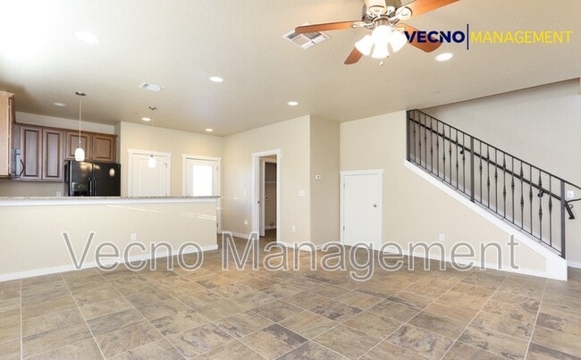
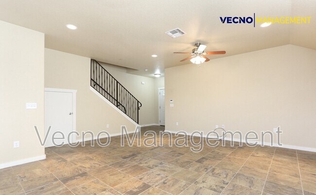


3 Beds, 2 Baths, 1,230 sq ft
$1,320
Total Monthly Price
12 Month Lease
Total Monthly Price
New
Prices include all required monthly fees.
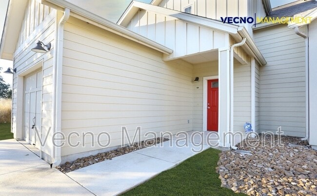
20447 Red Coral


