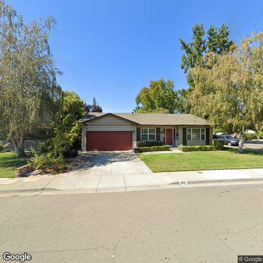
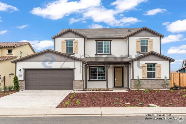
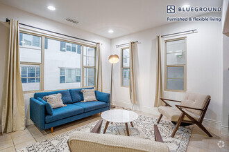
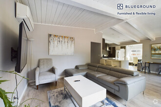
2196 Tanager Ct
2196 Tanager Ct
Pleasanton, CA 94566
2 Weeks Ago
Favorites
2196 Tanager Ct

Favorites
Check Back Soon for Upcoming Availability
| Beds | Baths | Average SF |
|---|---|---|
| 4 Bedrooms 4 Bedrooms 4 Br | 2 Baths 2 Baths 2 Ba | — |
Location
Get Directions
Located in the East Bay Area, Pleasanton is a luxurious, suburban town that attracts newcomers with its top-notch schools, hundreds of acres of parks and trails, and welcoming community. The community is close-knit, and residents enjoy getting together for concerts, festivals, parades, farmers markets, and more. Family-friendly fun is provided by the extensive opportunities for outdoor adventures at places like Augustin Bernal Park, the Patelco Sports Complex, and the Club at Ruby Hill. Head to the historic downtown district to stop in at local stores, boutiques, and eateries, or travel a bit outside of downtown for the nationally recognized retailers and restaurants in Stoneridge Shopping Center. But great food isn’t just confined to downtown and the mall. Over 200 dining options ranging from cafes to fine dining are scattered throughout Pleasanton.
Learn more about living in Pleasanton
Education
| Colleges & Universities | Distance | ||
|---|---|---|---|
| Colleges & Universities | Distance | ||
| Drive: | 14 min | 6.8 mi | |
| Drive: | 13 min | 7.0 mi | |
| Drive: | 23 min | 13.3 mi | |
| Drive: | 26 min | 16.5 mi |
2196 Tanager Ct is within 14 minutes or 6.8 miles from Diablo Valley Coll, San Ramon. It is also near Las Positas College and Ohlone College, Fremont Campus.
Transportation options available in Pleasanton include Dublin Pleasanton Station, located 3.1 miles from 2196 Tanager Ct. 2196 Tanager Ct is near Metro Oakland International, located 22.9 miles or 30 minutes away, and Norman Y Mineta San Jose International, located 28.2 miles or 40 minutes away.
| Transit / Subway | Distance | ||
|---|---|---|---|
| Transit / Subway | Distance | ||
|
|
Drive: | 6 min | 3.1 mi |
|
|
Drive: | 7 min | 4.4 mi |
|
|
Drive: | 33 min | 17.5 mi |
| Commuter Rail | Distance | ||
|---|---|---|---|
| Commuter Rail | Distance | ||
| Drive: | 7 min | 2.4 mi | |
| Drive: | 13 min | 7.0 mi | |
| Drive: | 16 min | 11.1 mi | |
|
|
Drive: | 23 min | 15.3 mi |
| Drive: | 30 min | 17.4 mi |
| Airports | Distance | ||
|---|---|---|---|
| Airports | Distance | ||
|
Metro Oakland International
|
Drive: | 30 min | 22.9 mi |
|
Norman Y Mineta San Jose International
|
Drive: | 40 min | 28.2 mi |
Time and distance from 2196 Tanager Ct.
| Shopping Centers | Distance | ||
|---|---|---|---|
| Shopping Centers | Distance | ||
| Walk: | 8 min | 0.4 mi | |
| Walk: | 13 min | 0.7 mi | |
| Walk: | 15 min | 0.8 mi |
2196 Tanager Ct has 3 shopping centers within 0.8 mile, which is about a 15-minute walk. The miles and minutes will be for the farthest away property.
| Parks and Recreation | Distance | ||
|---|---|---|---|
| Parks and Recreation | Distance | ||
|
Shadow Cliffs Regional Recreation Area
|
Drive: | 8 min | 2.8 mi |
|
Dublin Hills Regional Parks
|
Drive: | 18 min | 7.4 mi |
|
Bishop Ranch Regional Preserve
|
Drive: | 16 min | 10.0 mi |
|
Pleasanton Ridge Regional Park
|
Drive: | 21 min | 13.5 mi |
|
Garin/Dry Creek Pioneer Parks
|
Drive: | 33 min | 18.0 mi |
2196 Tanager Ct has 5 parks within 18.0 miles, including Shadow Cliffs Regional Recreation Area, Dublin Hills Regional Parks, and Pleasanton Ridge Regional Park.
| Hospitals | Distance | ||
|---|---|---|---|
| Hospitals | Distance | ||
| Walk: | 18 min | 1.0 mi | |
| Drive: | 17 min | 11.2 mi |
2196 Tanager Ct is 1.0 mile from Stanford Health Care - ValleyCare, and is convenient to other hospitals, including San Ramon Regional Medical Center.
| Military Bases | Distance | ||
|---|---|---|---|
| Military Bases | Distance | ||
| Drive: | 45 min | 31.0 mi |
2196 Tanager Ct is 31.0 miles and a 45 minute drive from Ames Research Center.
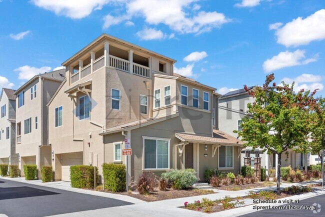
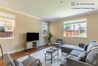
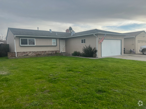
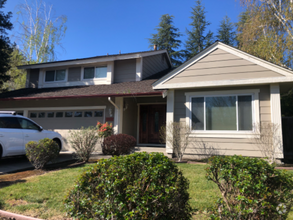
You May Also Like
Similar Rentals Nearby

What Are Walk Score®, Transit Score®, and Bike Score® Ratings?
Walk Score® measures the walkability of any address. Transit Score® measures access to public transit. Bike Score® measures the bikeability of any address.
What is a Sound Score Rating?
A Sound Score Rating aggregates noise caused by vehicle traffic, airplane traffic and local sources

2196 Tanager Ct
Pleasanton, CA 94566