

21268 W US. Hwy 60
Olive Hill, KY 41164

Check Back Soon for Upcoming Availability
| Beds | Baths | Average SF |
|---|---|---|
| 3 Bedrooms 3 Bedrooms 3 Br | 1 Bath 1 Bath 1 Ba | 1,100 SF |
Fees and Policies
The fees listed below are community-provided and may exclude utilities or add-ons. All payments are made directly to the property and are non-refundable unless otherwise specified.
- Dogs Allowed
-
Fees not specified
- Cats Allowed
-
Fees not specified
About This Property
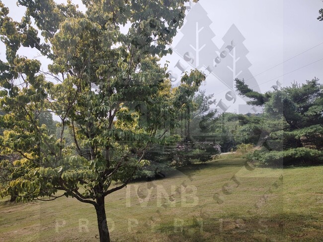
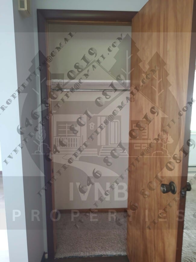
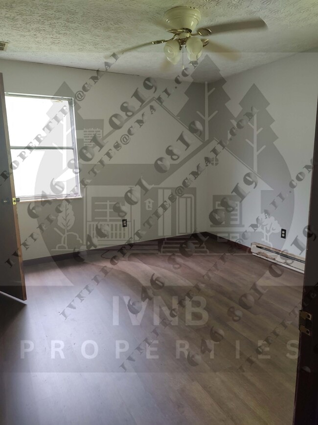
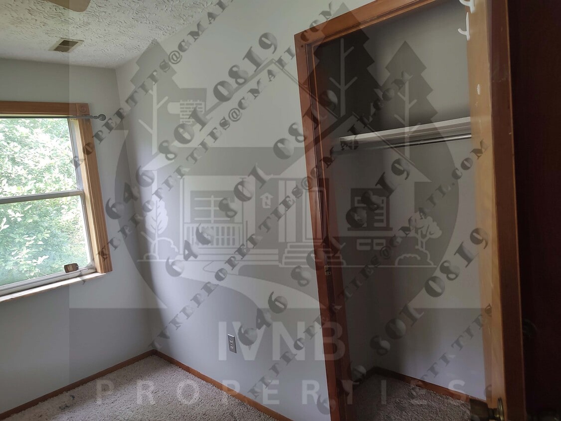
This is a 3-bedroom, 1-bathroom house in Olive Hill. It’s pet-friendly and has a deck, washer/dryer hook ups, yard, and some storage. Nearby attractions include a few lakes and trails, and it’s close to Highway 64. Schools and some local shopping and dining options are available. If you’re interested, contact property manager.
21268 W Us. Hwy 60 is a house located in Carter County and the 41164 ZIP Code. This area is served by the Carter County attendance zone.
House Features
- Washer/Dryer
- Washer/Dryer Hookup
- Washer/Dryer
- Washer/Dryer Hookup
| Colleges & Universities | Distance | ||
|---|---|---|---|
| Colleges & Universities | Distance | ||
| Drive: | 17 min | 11.7 mi | |
| Drive: | 79 min | 63.8 mi |


View GreatSchools Rating Methodology
Data provided by GreatSchools.org © 2026. All rights reserved.
Walkability Near 21268 W US. Hwy 60 Olive Hill, KY 41164
Scores provided by
Traffic
-Airport
-Businesses
-Scores provided by
HowLoud What is a Sound Score Rating? A Sound Score Rating aggregates noise caused by vehicle traffic, airplane traffic and local sources. How It WorksWhat Are Walk Score®, Transit Score®, and Bike Score® Ratings?
Walk Score® measures the walkability of any address. Transit Score® measures access to public transit. Bike Score® measures the bikeability of any address.
What is a Sound Score Rating?
A Sound Score Rating aggregates noise caused by vehicle traffic, airplane traffic and local sources.
21268 W US. Hwy 60
Olive Hill, KY 41164