


$5,800
Total Monthly Price
Base Rent$5,800
Required Monthly FeesNone
Total Monthly Price$5,800
12 Month Lease
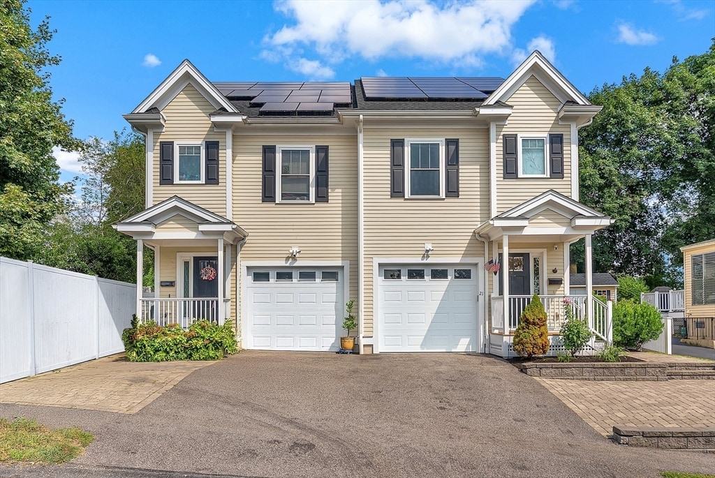
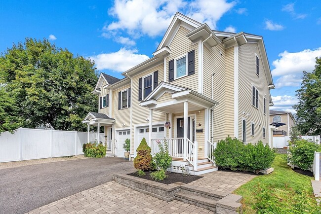
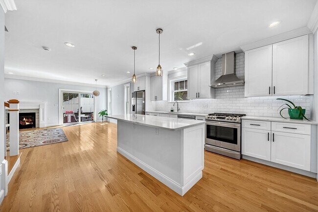
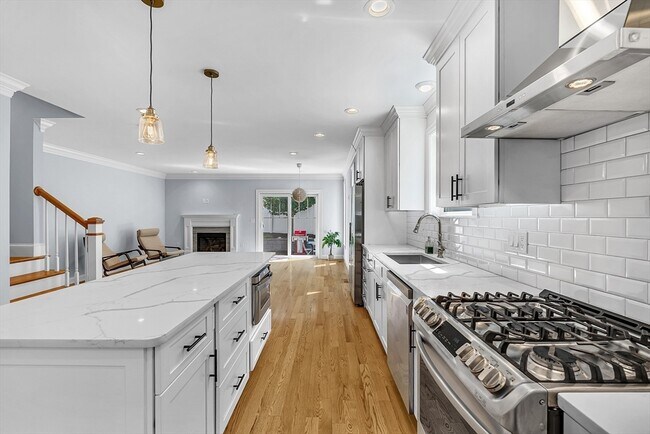
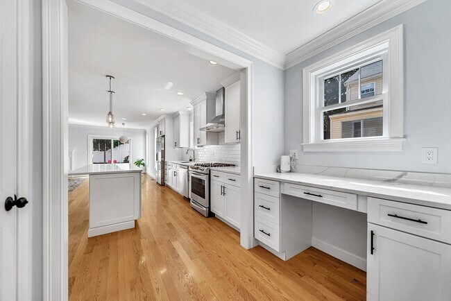
4 Beds, 3.5 Baths, 999 sq ft
Townhome for Rent