
$2,200
/ Month
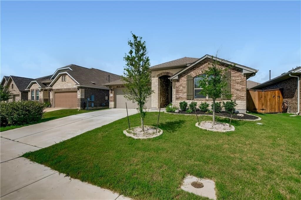
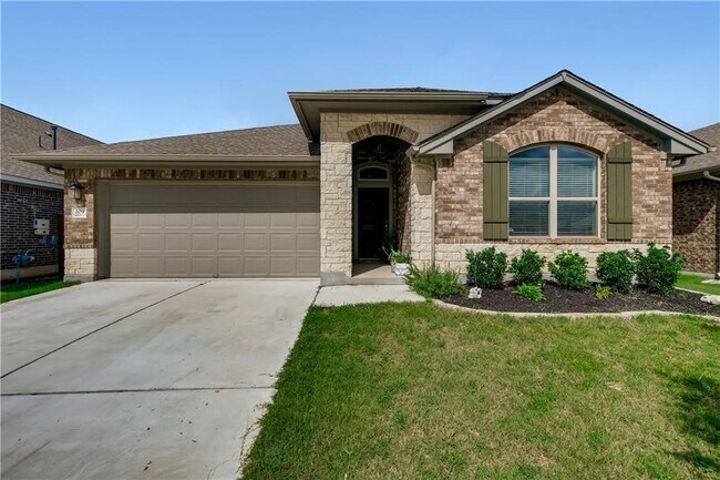
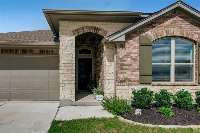
209 Estima Ct
Liberty Hill, TX 78642
Favorites
-
Bedrooms
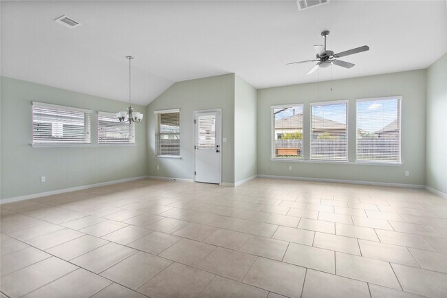
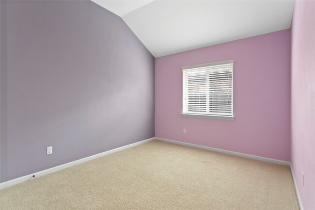
3
-
Bathrooms
2
-
Square Feet
2,301 sq ft
209 Estima Ct

Favorites
Contact
- Listed by Locayt
Location
Get Directions
Formed from remnants of small ranching and farming villages, Liberty Hill has transformed into one of the fastest growing communities in the Austin metro area. Residents are drawn to Liberty Hill for its scenic hill-laden landscape, relaxed atmosphere, excellent schools, and abundant opportunities.
Situated between the North and South Forks of the San Gabriel River, Liberty Hill is convenient to all kinds of outdoor adventure. Nearby parks include Canyonlands National Wildlife Refuge, Southwest Williamson County Regional Park, and Pace Bend Park. Liberty Hill is also just a short drive away from Inner Space Cavern.
Shopping options in Liberty Hill range from local stores in town to national retailers in nearby Lakeline Mall and Round Rock Premium Outlets. Metropolitan delights abound in Austin, which is less than an hour’s drive from Liberty Hill. Quick access to Route 29 makes getting around from Liberty Hill easy.
Learn more about living in Liberty Hill
Education
| Colleges & Universities | Distance | ||
|---|---|---|---|
| Colleges & Universities | Distance | ||
| Drive: | 22 min | 13.0 mi | |
| Drive: | 26 min | 15.8 mi | |
| Drive: | 31 min | 18.8 mi | |
| Drive: | 32 min | 20.4 mi |
209 Estima Ct is within 22 minutes or 13.0 miles from Southwestern University. It is also near Austin C.C., Cypress Creek and Austin C.C., Round Rock Campus.
Transportation options available in Liberty Hill include Leander Station, located 10.8 miles from 209 Estima Ct. 209 Estima Ct is near Robert Gray AAF, located 36.1 miles or 61 minutes away, and Killeen Municipal, located 42.1 miles or 59 minutes away.
| Transit / Subway | Distance | ||
|---|---|---|---|
| Transit / Subway | Distance | ||
| Drive: | 18 min | 10.8 mi |
| Commuter Rail | Distance | ||
|---|---|---|---|
| Commuter Rail | Distance | ||
|
|
Drive: | 46 min | 32.4 mi |
|
|
Drive: | 48 min | 33.3 mi |
| Airports | Distance | ||
|---|---|---|---|
| Airports | Distance | ||
|
Robert Gray AAF
|
Drive: | 61 min | 36.1 mi |
|
Killeen Municipal
|
Drive: | 59 min | 42.1 mi |
Getting Around
 What do Walkability, Transit, Drivability, and Bikeability mean?
Walkability measures the walking distance to day-to-day needs.
Transit measures access to public transportation.
Drivability measures congestion, parking availability, and access to major roads.
Bikeability measures the suitability for cycling.
How It Works
What do Walkability, Transit, Drivability, and Bikeability mean?
Walkability measures the walking distance to day-to-day needs.
Transit measures access to public transportation.
Drivability measures congestion, parking availability, and access to major roads.
Bikeability measures the suitability for cycling.
How It Works
Not Walkable
Walkability
10
/ 100
Exceptionally Drivable
Drivability
100
/ 100
Somewhat Bikeable
Bikeability
20
/ 100
Scores provided by
-
Soundscore™
-
/ 100
Traffic
-Airport
-Businesses
-Scores provided by
HowLoud What is a Sound Score Rating? A Sound Score Rating aggregates noise caused by vehicle traffic, airplane traffic and local sources. How It WorksTime and distance from 209 Estima Ct.
| Shopping Centers | Distance | ||
|---|---|---|---|
| Shopping Centers | Distance | ||
| Drive: | 6 min | 2.9 mi | |
| Drive: | 8 min | 3.1 mi | |
| Drive: | 8 min | 3.4 mi |
209 Estima Ct has 3 shopping centers within 3.4 miles, which is about a 8-minute drive. The miles and minutes will be for the farthest away property.
| Parks and Recreation | Distance | ||
|---|---|---|---|
| Parks and Recreation | Distance | ||
|
Garey Park
|
Drive: | 21 min | 9.0 mi |
|
Rivery Park
|
Drive: | 23 min | 12.2 mi |
|
Inner Space Cavern
|
Drive: | 22 min | 12.7 mi |
|
Chandler Park
|
Drive: | 24 min | 12.7 mi |
|
Georgetown Recreation Center
|
Drive: | 23 min | 12.8 mi |
209 Estima Ct has 5 parks within 12.8 miles, including Garey Park, Rivery Park, and Chandler Park.
| Hospitals | Distance | ||
|---|---|---|---|
| Hospitals | Distance | ||
| Drive: | 22 min | 12.4 mi | |
| Drive: | 22 min | 13.0 mi |
209 Estima Ct is 12.4 miles from Cedar Park Regional Medical Center, and is convenient to other hospitals, including Georgetown Behavioral Health Institute.
| Military Bases | Distance | ||
|---|---|---|---|
| Military Bases | Distance | ||
| Drive: | 66 min | 47.3 mi |
209 Estima Ct is 47.3 miles and a 66 minute drive from Fort Hood.
You May Also Like
Similar Rentals Nearby


What Are Walk Score®, Transit Score®, and Bike Score® Ratings?
Walk Score® measures the walkability of any address. Transit Score® measures access to public transit. Bike Score® measures the bikeability of any address.
What is a Sound Score Rating?
A Sound Score Rating aggregates noise caused by vehicle traffic, airplane traffic and local sources.

209 Estima Ct
Liberty Hill, TX 78642