
$1,250
Total Monthly Price
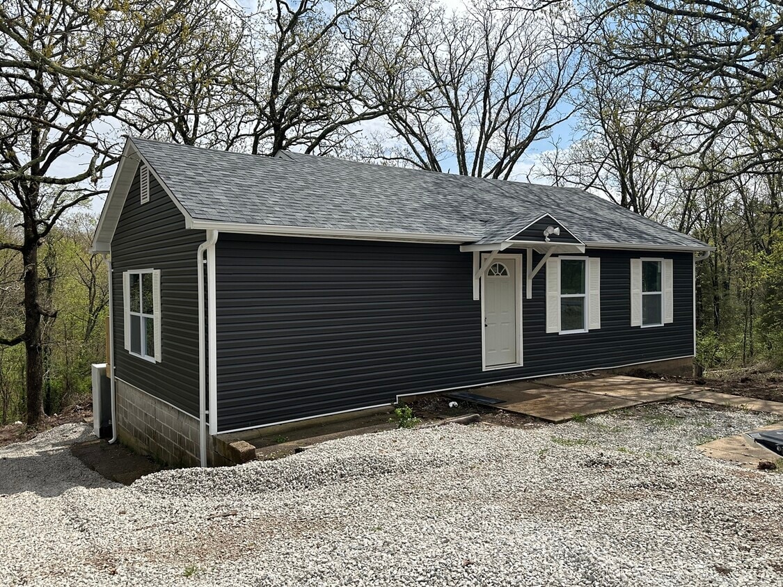
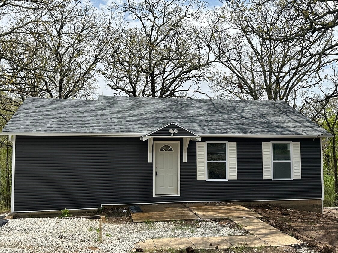
2069 Highway K
Saint Clair, MO 63077
Favorites
-
Bedrooms
3
-
Bathrooms
2
-
Square Feet
950 sq ft
-
Available
Available May 1
Highlight
- Basement
2069 Highway K

Favorites
About This Home
12 Month Lease,
$2,500 deposit,
Available May 1
3-bedroom, 2-bath home with walk-out basement outside city limits. If you are interested the first step is to fill out a rental application. Applications are available at our website under the rental properties tab or you can pick one up from our office. If you have any additional questions, please call our office.
2069 Highway K is a house located in Franklin County and the 63077 ZIP Code. This area is served by the St. Clair R-Xiii School District attendance zone.
* Price shown is total price based on community-supplied monthly required fees. Excludes user-selected optional fees and variable or usage-based fees and required charges due at or prior to move-in or at move-out. Price, availability, fees, and any applicable rent special are subject to change without notice.
* Square footage definitions vary. Displayed square footage is approximate.
House Features
- Basement
- Office
Contact
- Contact
Location
Get Directions
Education
| Colleges & Universities | Distance | ||
|---|---|---|---|
| Colleges & Universities | Distance | ||
| Drive: | 48 min | 32.7 mi | |
| Drive: | 61 min | 33.1 mi | |
| Drive: | 64 min | 41.1 mi | |
| Drive: | 63 min | 46.1 mi |
2069 Highway K is within 61 minutes or 33.1 miles from Jefferson College. It is also near Saint Louis C.C., Wildwood and Logan University.
Schools


Public Elementary School
Grades K-5
465 Students
Nearby
Public Middle School
Grades 6-8
452 Students
Nearby
Public High School
Grades 9-12
684 Students
Nearby
School data provided by
 The GreatSchools Rating helps parents compare schools within a state based on a variety of school quality indicators and provides a helpful picture of how effectively each school serves all of its students. Ratings are on a scale of 1 (below average) to 10 (above average) and can include test scores, college readiness, academic progress, advanced courses, equity, discipline and attendance data. We also advise parents to visit schools, consider other information on school performance and programs, and consider family needs as part of the school selection process.
View GreatSchools Rating Methodology
Data provided by GreatSchools.org © 2026. All rights reserved.
View GreatSchools Rating Methodology
Data provided by GreatSchools.org © 2026. All rights reserved.
Getting Around
 What do Walkability, Transit, Drivability, and Bikeability mean?
Walkability measures the walking distance to day-to-day needs.
Transit measures access to public transportation.
Drivability measures congestion, parking availability, and access to major roads.
Bikeability measures the suitability for cycling.
How It Works
What do Walkability, Transit, Drivability, and Bikeability mean?
Walkability measures the walking distance to day-to-day needs.
Transit measures access to public transportation.
Drivability measures congestion, parking availability, and access to major roads.
Bikeability measures the suitability for cycling.
How It Works
Not Walkable
Walkability
10
/ 100
Exceptionally Drivable
Drivability
100
/ 100
Somewhat Bikeable
Bikeability
20
/ 100
Scores provided by
-
Soundscore™
-
/ 100
Traffic
-Airport
-Businesses
-Scores provided by
HowLoud What is a Sound Score Rating? A Sound Score Rating aggregates noise caused by vehicle traffic, airplane traffic and local sources. How It Works
Amenities
- Basement
- Office
2069 Highway K Photos
What Are Walk Score®, Transit Score®, and Bike Score® Ratings?
Walk Score® measures the walkability of any address. Transit Score® measures access to public transit. Bike Score® measures the bikeability of any address.
What is a Sound Score Rating?
A Sound Score Rating aggregates noise caused by vehicle traffic, airplane traffic and local sources.
2069 Highway K
Saint Clair, MO 63077