
$900
Total Monthly Price
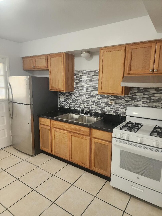
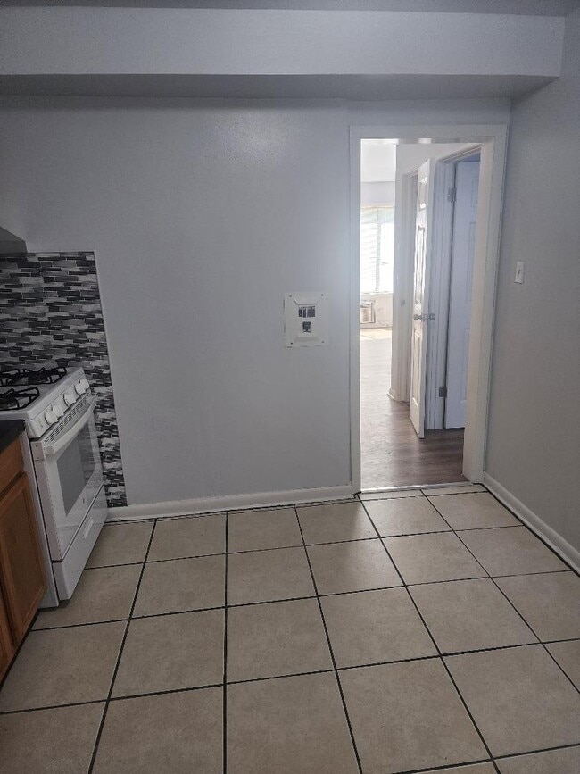
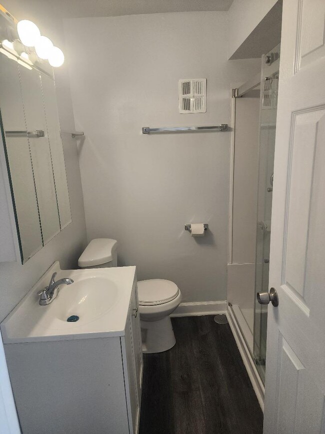
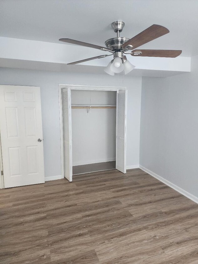
2037 S 15th Ave Unit 1N
Broadview, IL 60155
Favorites
-
Bedrooms
1
-
Bathrooms
1
-
Square Feet
625 sq ft
-
Available
Available Jul 1
Highlight
- Smoke Free
2037 S 15th Ave Unit 1N

Favorites
About This Home
12 Month Lease,
$1,800 deposit,
Available Jul 1
Quiet Property located in a fairly peaceful community. Restaurants, library, laundromats & Walgreens all within walking distance.
2037 S 15th Ave is an apartment community located in Cook County and the 60155 ZIP Code.
* Price shown is total price based on community-supplied monthly required fees. Excludes user-selected optional fees and variable or usage-based fees and required charges due at or prior to move-in or at move-out. Price, availability, fees, and any applicable rent special are subject to change without notice.
* Square footage definitions vary. Displayed square footage is approximate.
Apartment Features
- Air Conditioning
- Smoke Free
- Laundry Facilities
Fees and Policies
The fees listed below are community-provided and may exclude utilities or add-ons. All payments are made directly to the property and are non-refundable unless otherwise specified.
- Parking
-
Surface Lot--
Details
Utilities Included
-
Gas
-
Water
-
Heat
-
Trash Removal
-
Sewer
Property Information
-
4 units
Contact
- Contact
Location
Get Directions
West Cook is a multicultural neighborhood south of O’Hare International Airport. Golfers in the community enjoy its numerous golf greens, including Oak Park Country Club and Edgewood Valley Country Club.
Public transit abounds in West Cook, attracting renters who wish to live outside the cities in which they work. Residents appreciate the shopping opportunities at Fashion Outlets of Chicago and North Riverside Park Mall.
The Brookfield Zoo is a fun-filled attraction in West Cook which houses hundreds of animals. Locals adore the neighborhood’s lush green spaces – many of which are in walking distance of affordable West Cook apartments. Direct access to Interstate 55 and Interstate 294 makes commuting easy, whether you’re traveling into Chicago or a neighboring state.
Learn more about living in West Cook
Education
| Colleges & Universities | Distance | ||
|---|---|---|---|
| Colleges & Universities | Distance | ||
| Drive: | 11 min | 4.3 mi | |
| Drive: | 11 min | 4.4 mi | |
| Drive: | 10 min | 5.1 mi | |
| Drive: | 11 min | 5.1 mi |
2037 S 15th Ave Unit 1N is within 11 minutes or 4.3 miles from Triton College. It is also near Concordia University-Chicago and Dominican University.
Transportation options available in Broadview include Forest Park Station, located 2.7 miles from 2037 S 15th Ave Unit 1N. 2037 S 15th Ave Unit 1N is near Chicago Midway International, located 10.4 miles or 19 minutes away, and Chicago O'Hare International, located 11.7 miles or 22 minutes away.
| Transit / Subway | Distance | ||
|---|---|---|---|
| Transit / Subway | Distance | ||
|
|
Drive: | 5 min | 2.7 mi |
|
|
Drive: | 4 min | 2.8 mi |
|
|
Drive: | 5 min | 3.6 mi |
|
|
Drive: | 7 min | 3.9 mi |
|
|
Drive: | 8 min | 4.4 mi |
| Commuter Rail | Distance | ||
|---|---|---|---|
| Commuter Rail | Distance | ||
|
|
Drive: | 6 min | 1.8 mi |
|
|
Drive: | 6 min | 2.4 mi |
|
|
Drive: | 7 min | 3.0 mi |
|
|
Drive: | 7 min | 3.4 mi |
|
|
Drive: | 7 min | 4.1 mi |
| Airports | Distance | ||
|---|---|---|---|
| Airports | Distance | ||
|
Chicago Midway International
|
Drive: | 19 min | 10.4 mi |
|
Chicago O'Hare International
|
Drive: | 22 min | 11.7 mi |
Getting Around
 What do Walkability, Transit, Drivability, and Bikeability mean?
Walkability measures the walking distance to day-to-day needs.
Transit measures access to public transportation.
Drivability measures congestion, parking availability, and access to major roads.
Bikeability measures the suitability for cycling.
How It Works
What do Walkability, Transit, Drivability, and Bikeability mean?
Walkability measures the walking distance to day-to-day needs.
Transit measures access to public transportation.
Drivability measures congestion, parking availability, and access to major roads.
Bikeability measures the suitability for cycling.
How It Works
Moderately Walkable
Walkability
70
/ 100
Limited Public Transit
Transit
30
/ 100
Moderately Drivable
Drivability
70
/ 100
Fairly Bikeable
Bikeability
50
/ 100
Scores provided by
Active
Soundscore™
72
/ 100
Traffic
ActiveAirport
CalmBusinesses
ActiveScores provided by
HowLoud What is a Sound Score Rating? A Sound Score Rating aggregates noise caused by vehicle traffic, airplane traffic and local sources. How It WorksTime and distance from 2037 S 15th Ave Unit 1N.
| Shopping Centers | Distance | ||
|---|---|---|---|
| Shopping Centers | Distance | ||
| Drive: | 3 min | 1.1 mi | |
| Drive: | 3 min | 1.1 mi | |
| Drive: | 4 min | 1.4 mi |
2037 S 15th Ave Unit 1N has 3 shopping centers within 1.4 miles, which is about a 4-minute drive. The miles and minutes will be for the farthest away property.
| Parks and Recreation | Distance | ||
|---|---|---|---|
| Parks and Recreation | Distance | ||
|
Schuth's Grove / Callahan Grove
|
Drive: | 6 min | 2.8 mi |
|
Brookfield Zoo
|
Drive: | 8 min | 3.1 mi |
|
Tyrell Trailside Museum / Thatcher Woods
|
Drive: | 7 min | 3.4 mi |
|
Brezina Woods
|
Drive: | 8 min | 3.5 mi |
|
Andrew Toman Grove
|
Drive: | 8 min | 3.6 mi |
2037 S 15th Ave Unit 1N has 5 parks within 3.6 miles, including Schuth's Grove / Callahan Grove, Brezina Woods, and Tyrell Trailside Museum / Thatcher Woods.
| Hospitals | Distance | ||
|---|---|---|---|
| Hospitals | Distance | ||
| Drive: | 3 min | 1.3 mi | |
| Drive: | 3 min | 1.4 mi | |
| Drive: | 4 min | 1.9 mi |
2037 S 15th Ave Unit 1N has 3 hospitals within 1.9 miles, the nearest is Riveredge Hospital which is 1.3 miles away and a 3 minute drive.
| Military Bases | Distance | ||
|---|---|---|---|
| Military Bases | Distance | ||
| Drive: | 27 min | 18.4 mi | |
| Drive: | 30 min | 21.9 mi | |
| Drive: | 38 min | 23.5 mi |
2037 S 15th Ave Unit 1N has 3 military bases within 23.5 miles, the nearest is US Military Reservation Naperville which is 18.4 miles away and a 27 minute drive.
Amenities
- Air Conditioning
- Smoke Free
- Laundry Facilities
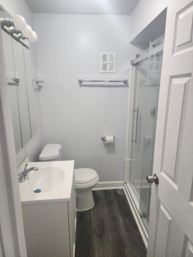
2037 S 15th Ave Unit 1N Photos
What Are Walk Score®, Transit Score®, and Bike Score® Ratings?
Walk Score® measures the walkability of any address. Transit Score® measures access to public transit. Bike Score® measures the bikeability of any address.
What is a Sound Score Rating?
A Sound Score Rating aggregates noise caused by vehicle traffic, airplane traffic and local sources.
2037 S 15th Ave
Broadview, IL 60155