
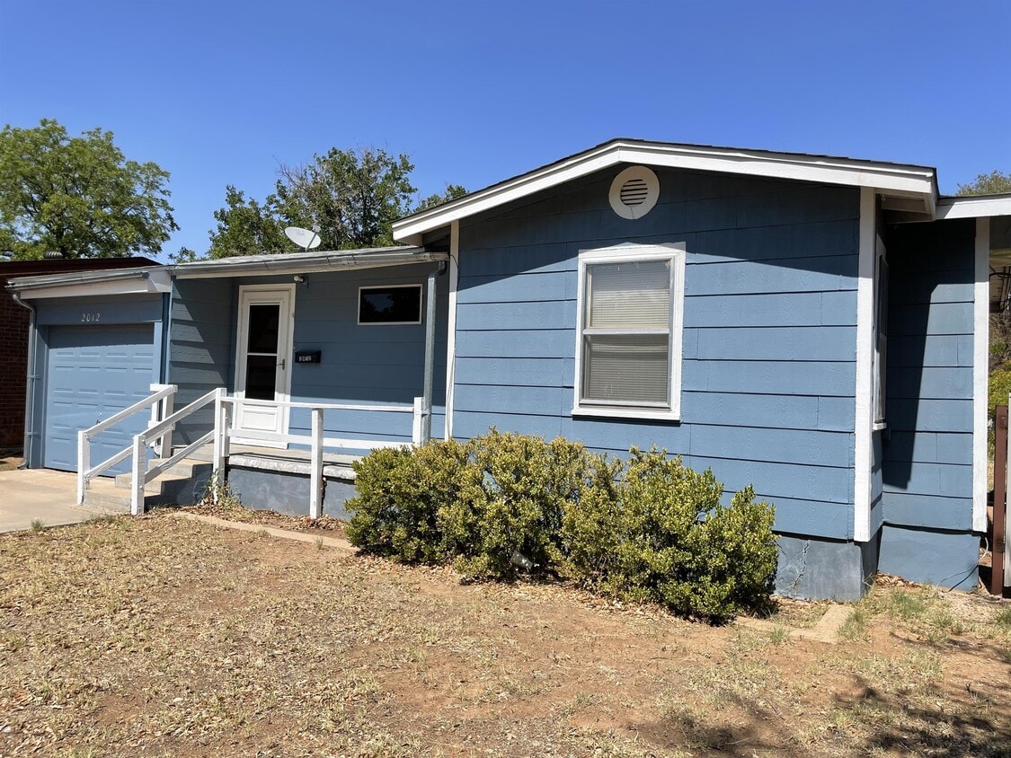
2012 Chestnut St
Colorado City, TX 79512

Check Back Soon for Upcoming Availability
| Beds | Baths | Average SF |
|---|---|---|
| 2 Bedrooms 2 Bedrooms 2 Br | 1 Bath 1 Bath 1 Ba | 841 SF |
About This Property
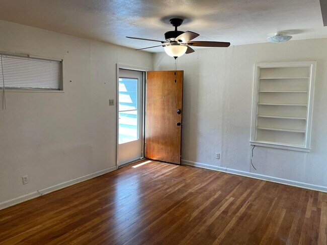
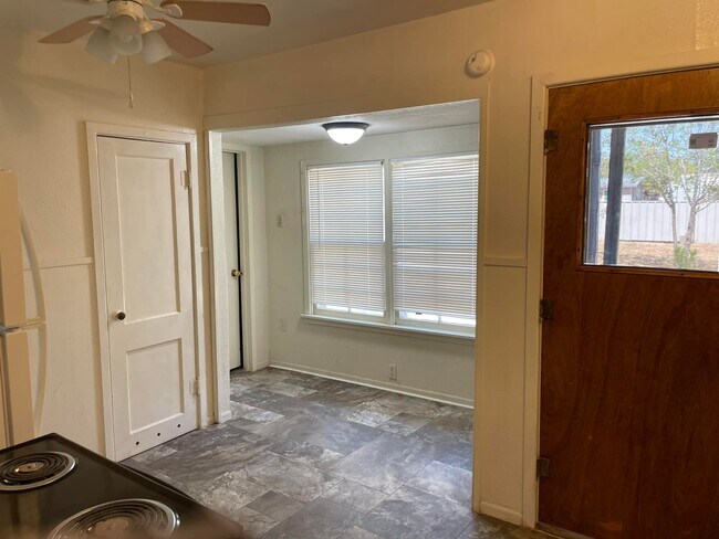
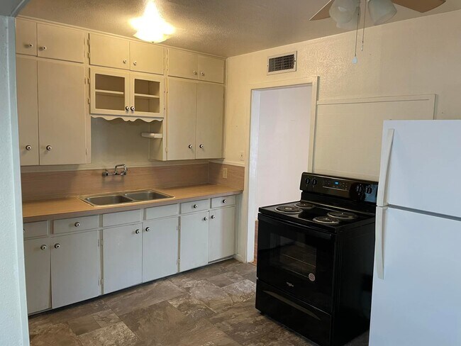
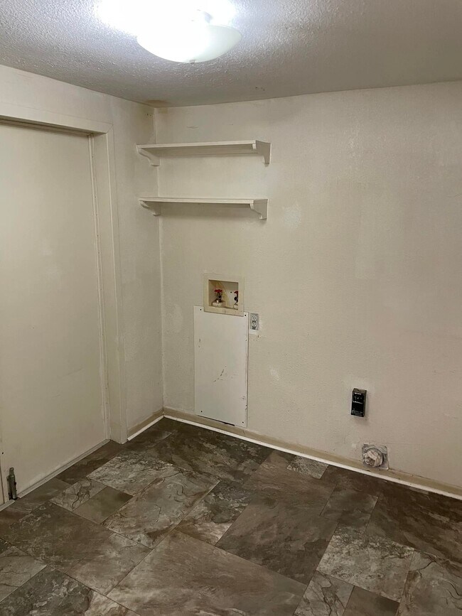
*RECENTLY REDUCED Check out this cute 2 bedroom, 1 bathroom house! House features fenced in backyard, 1 car garage and indoor utility room. Hardwood floors and neutral paint throughout!
2012 Chestnut St is a house located in Mitchell County and the 79512 ZIP Code. This area is served by the Colorado Independent School District attendance zone.


View GreatSchools Rating Methodology
Data provided by GreatSchools.org © 2026. All rights reserved.
Walkability Near 2012 Chestnut St Colorado City, TX 79512
Scores provided by
Traffic
-Airport
-Businesses
-Scores provided by
HowLoud What is a Sound Score Rating? A Sound Score Rating aggregates noise caused by vehicle traffic, airplane traffic and local sources. How It WorksWhat Are Walk Score®, Transit Score®, and Bike Score® Ratings?
Walk Score® measures the walkability of any address. Transit Score® measures access to public transit. Bike Score® measures the bikeability of any address.
What is a Sound Score Rating?
A Sound Score Rating aggregates noise caused by vehicle traffic, airplane traffic and local sources.
2012 Chestnut St
Colorado City, TX 79512