
$3,250
Total Monthly Price
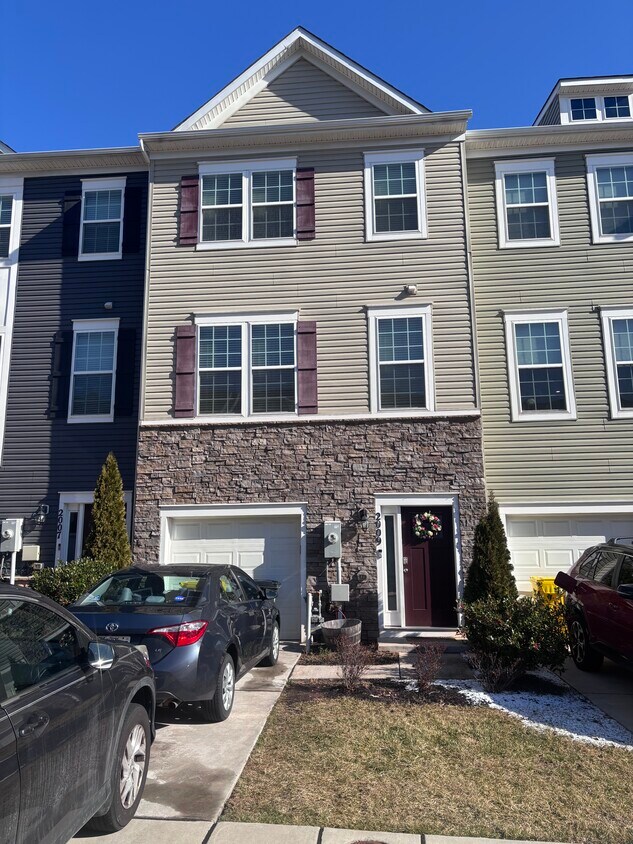
2009 Thornbrook Way
Odenton, MD 21113
Favorites
781-269-6844
-
Bedrooms
3
-
Bathrooms
2.5
-
Square Feet
2,100 sq ft
-
Available
Available Jun 1
Highlights
- Pets Allowed
- Double Vanities
2009 Thornbrook Way

Favorites
About This Home
12 Month Lease,
$3,250 deposit,
Available Jun 1
Available for rent, 2009 Thornbrook Way is ideally located in the desirable Odenton community of Anne Arundel County. This well-situated home offers comfort, convenience, and easy access to major commuter routes. The property is just minutes from Fort Meade, the Odenton MARC station, and Routes 32, 295, and 175, providing a convenient commute to Washington, D.C., Baltimore, and Annapolis. Shopping, dining, parks, and local amenities are all nearby, making this an excellent location for everyday living. Set within a quiet, established neighborhood, the home offers a peaceful residential environment while remaining close to everything Odenton has to offer. The area is known for its welcoming community feel and accessibility to schools and recreation. This rental presents an excellent opportunity for tenants seeking a well-located home in a highly sought-after area. Schedule a showing and experience the convenience and lifestyle of Odenton living.
2009 Thornbrook Way is a townhome located in Anne Arundel County and the 21113 ZIP Code. This area is served by the Anne Arundel County Public Schools attendance zone.
* Price shown is total price based on community-supplied monthly required fees. Excludes user-selected optional fees and variable or usage-based fees and required charges due at or prior to move-in or at move-out. Price, availability, fees, and any applicable rent special are subject to change without notice.
* Square footage definitions vary. Displayed square footage is approximate.
Townhome Features
Washer/Dryer
High Speed Internet Access
Wi-Fi
Tub/Shower
- High Speed Internet Access
- Wi-Fi
- Washer/Dryer
- Ceiling Fans
- Cable Ready
- Storage Space
- Double Vanities
- Tub/Shower
- Handrails
Fees and Policies
The fees listed below are community-provided and may exclude utilities or add-ons. All payments are made directly to the property and are non-refundable unless otherwise specified.
- One-Time Move-In Fees
-
Broker Fee$0
- Dogs Allowed
-
Fees not specified
- Cats Allowed
-
Fees not specified
- Parking
-
Garage--
Details
Utilities Included
-
Trash Removal
Property Information
-
Built in 2019
Contact
- Listed by Milton Masud
- Phone Number
- Contact
Location
Get Directions
Odenton sits at a geographic crossroads in Anne Arundel County, positioned roughly equidistant between Baltimore, Washington, D.C., and Annapolis. That location is not a coincidence — it has shaped the community's identity as one of Maryland's fastest-growing areas, driven largely by the presence of Fort George G. Meade, which hosts the NSA headquarters and U.S. Cyber Command. The result is a community with steady demand, a broad range of employers, and a population that leans toward government, defense, and technology sectors.
Neighborhoods like Piney Orchard and Seven Oaks each carry a distinct character. Piney Orchard offers wooded trails, a village center, and preserved green space along the Little Patuxent River, while Seven Oaks sits closer to Fort Meade with easy base access. The Odenton Town Center continues to develop around the MARC Penn Line station, making transit-oriented living a genuine option for those commuting to D.C. or Baltimore.
Learn more about living in Odenton
Education
| Colleges & Universities | Distance | ||
|---|---|---|---|
| Colleges & Universities | Distance | ||
| Drive: | 25 min | 13.8 mi | |
| Drive: | 26 min | 14.3 mi | |
| Drive: | 27 min | 14.8 mi | |
| Drive: | 28 min | 16.5 mi |
2009 Thornbrook Way is within 25 minutes or 13.8 miles from UMBC. It is also near CCBC Cantonsville and Anne Arundel Community College.
Schools


Public Middle School
Grades 6-8
1,286 Students
Nearby
Public High School
Grades 9-12
1,617 Students
Nearby
School data provided by
 The GreatSchools Rating helps parents compare schools within a state based on a variety of school quality indicators and provides a helpful picture of how effectively each school serves all of its students. Ratings are on a scale of 1 (below average) to 10 (above average) and can include test scores, college readiness, academic progress, advanced courses, equity, discipline and attendance data. We also advise parents to visit schools, consider other information on school performance and programs, and consider family needs as part of the school selection process.
View GreatSchools Rating Methodology
Data provided by GreatSchools.org © 2026. All rights reserved.
View GreatSchools Rating Methodology
Data provided by GreatSchools.org © 2026. All rights reserved.
Transportation options available in Odenton include Dorsey, located 8.2 miles from 2009 Thornbrook Way. 2009 Thornbrook Way is near Baltimore/Washington International Thurgood Marshall, located 9.0 miles or 18 minutes away, and Ronald Reagan Washington Ntl, located 31.9 miles or 51 minutes away.
| Transit / Subway | Distance | ||
|---|---|---|---|
| Transit / Subway | Distance | ||
|
|
Drive: | 16 min | 8.2 mi |
|
|
Drive: | 17 min | 8.9 mi |
|
|
Drive: | 19 min | 9.3 mi |
|
|
Drive: | 17 min | 9.6 mi |
|
|
Drive: | 18 min | 9.9 mi |
| Commuter Rail | Distance | ||
|---|---|---|---|
| Commuter Rail | Distance | ||
|
|
Drive: | 5 min | 2.0 mi |
|
|
Drive: | 13 min | 5.9 mi |
| Drive: | 17 min | 8.2 mi | |
| Drive: | 17 min | 8.2 mi | |
|
|
Drive: | 14 min | 8.4 mi |
| Airports | Distance | ||
|---|---|---|---|
| Airports | Distance | ||
|
Baltimore/Washington International Thurgood Marshall
|
Drive: | 18 min | 9.0 mi |
|
Ronald Reagan Washington Ntl
|
Drive: | 51 min | 31.9 mi |
Getting Around
 What do Walkability, Transit, Drivability, and Bikeability mean?
Walkability measures the walking distance to day-to-day needs.
Transit measures access to public transportation.
Drivability measures congestion, parking availability, and access to major roads.
Bikeability measures the suitability for cycling.
How It Works
What do Walkability, Transit, Drivability, and Bikeability mean?
Walkability measures the walking distance to day-to-day needs.
Transit measures access to public transportation.
Drivability measures congestion, parking availability, and access to major roads.
Bikeability measures the suitability for cycling.
How It Works
Somewhat Walkable
Walkability
30
/ 100
Minimal Public Transit
Transit
10
/ 100
Exceptionally Drivable
Drivability
100
/ 100
Not Bikeable
Bikeability
10
/ 100
Scores provided by
Active
Soundscore™
70
/ 100
Traffic
BusyAirport
CalmBusinesses
CalmScores provided by
HowLoud What is a Sound Score Rating? A Sound Score Rating aggregates noise caused by vehicle traffic, airplane traffic and local sources. How It WorksTime and distance from 2009 Thornbrook Way.
| Shopping Centers | Distance | ||
|---|---|---|---|
| Shopping Centers | Distance | ||
| Drive: | 4 min | 1.3 mi | |
| Drive: | 4 min | 1.6 mi | |
| Drive: | 4 min | 1.8 mi |
2009 Thornbrook Way has 3 shopping centers within 1.8 miles, which is about a 4-minute drive. The miles and minutes will be for the farthest away property.
| Parks and Recreation | Distance | ||
|---|---|---|---|
| Parks and Recreation | Distance | ||
|
Patuxent Research Refuge - North Tract
|
Drive: | 13 min | 6.1 mi |
|
Kinder Farm Park
|
Drive: | 22 min | 11.1 mi |
|
Patuxent Research Refuge - South Tract
|
Drive: | 26 min | 14.3 mi |
2009 Thornbrook Way has 3 parks within 14.3 miles, including Patuxent Research Refuge - North Tract, Kinder Farm Park, and Patuxent Research Refuge - South Tract.
| Hospitals | Distance | ||
|---|---|---|---|
| Hospitals | Distance | ||
| Drive: | 17 min | 8.8 mi | |
| Drive: | 23 min | 12.1 mi |
2009 Thornbrook Way is 8.8 miles from University of Maryland Baltimore Washington Medical Center, and is convenient to other hospitals, including Laurel Regional Medical Center.
| Military Bases | Distance | ||
|---|---|---|---|
| Military Bases | Distance | ||
| Drive: | 7 min | 2.8 mi | |
| Drive: | 42 min | 25.8 mi | |
| Drive: | 42 min | 27.1 mi |
2009 Thornbrook Way has 3 military bases within 27.1 miles, the nearest is Fort George Meade which is 2.8 miles away and a 7 minute drive.
Amenities
- High Speed Internet Access
- Wi-Fi
- Washer/Dryer
- Ceiling Fans
- Cable Ready
- Storage Space
- Double Vanities
- Tub/Shower
- Handrails
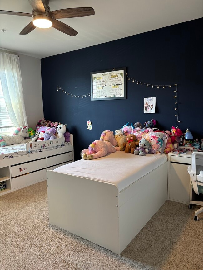
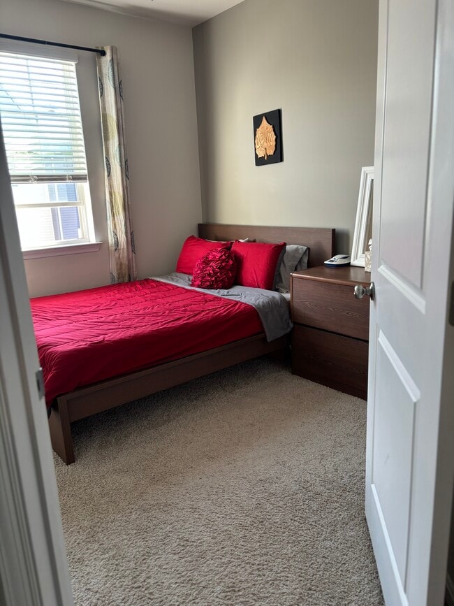
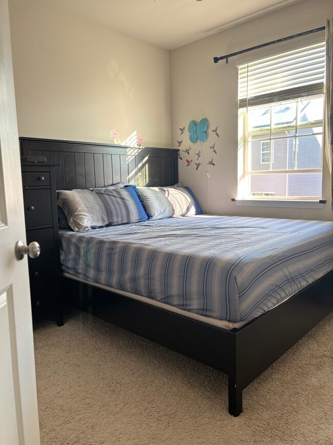
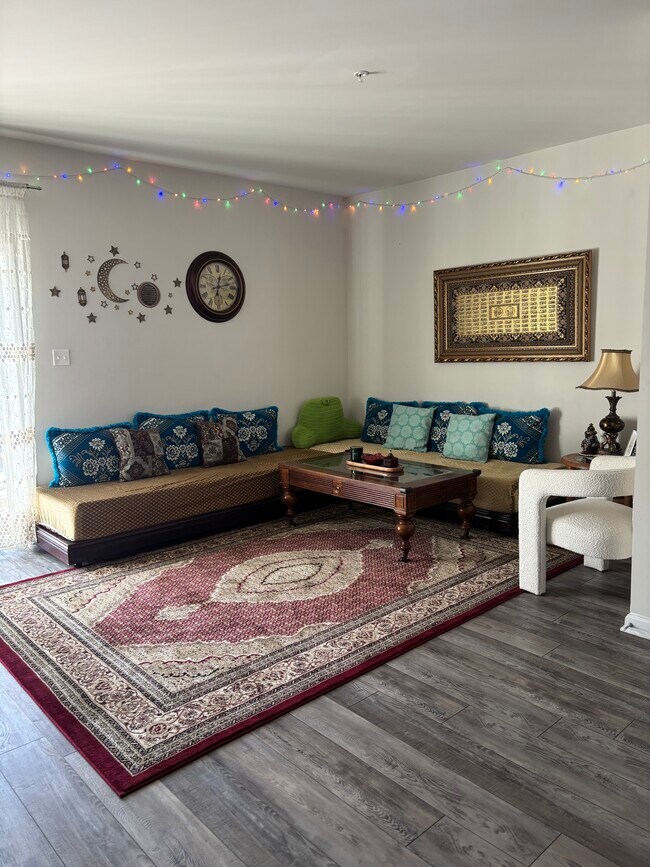
2009 Thornbrook Way Photos
What Are Walk Score®, Transit Score®, and Bike Score® Ratings?
Walk Score® measures the walkability of any address. Transit Score® measures access to public transit. Bike Score® measures the bikeability of any address.
What is a Sound Score Rating?
A Sound Score Rating aggregates noise caused by vehicle traffic, airplane traffic and local sources.
2009 Thornbrook Way
Odenton, MD 21113