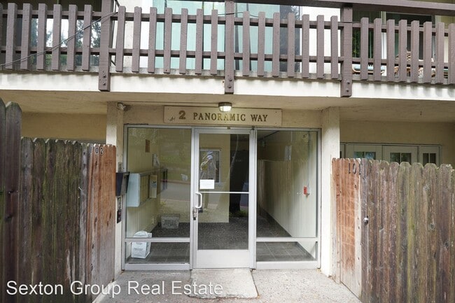
2 Panoramic Way
Berkeley, CA 94704

Check Back Soon for Upcoming Availability
| Beds | Baths | Average SF |
|---|---|---|
| 2 Bedrooms 2 Bedrooms 2 Br | 1 Bath 1 Bath 1 Ba | 598 SF |
About This Property
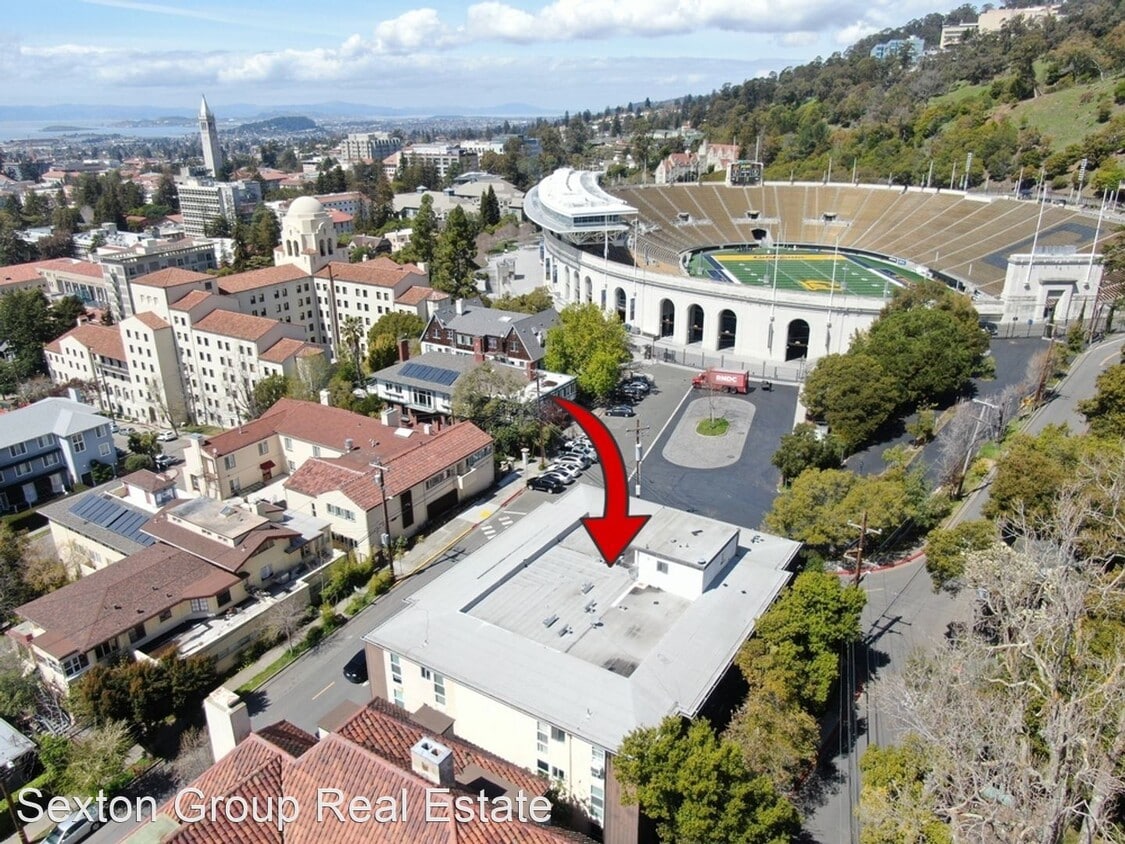
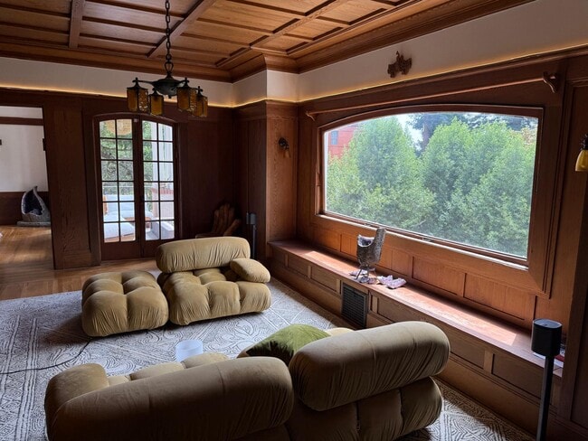
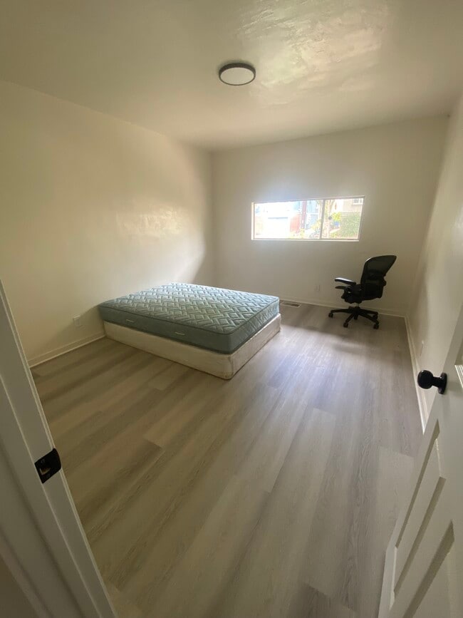
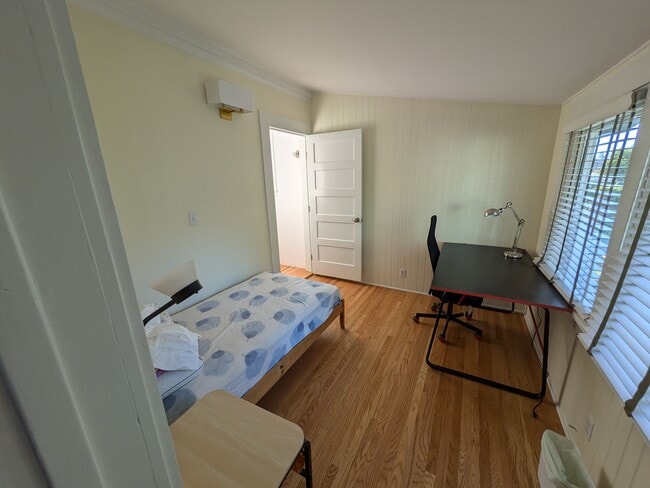
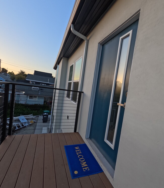
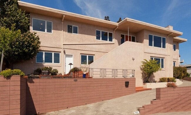
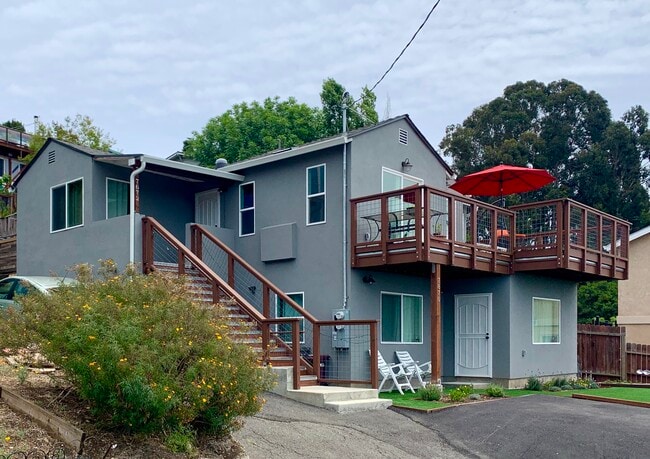
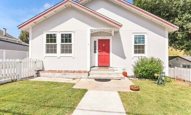
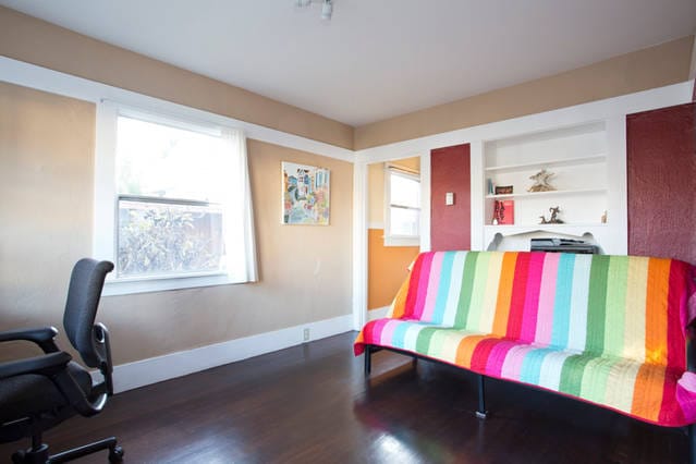
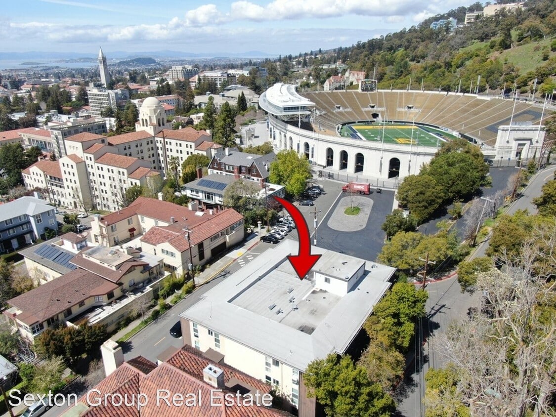
- Berkeley Condo Just Minutes to Campus! - Welcome to this spacious 2 bedroom and 1 bathroom condo! Just 5 minutes from UCSB campus next to the Memorial Stadium. Large updated kitchen with beautiful countertops and tons of cabinets. Spacious balcony off the bedrooms to just sit and read. Gated parking spot and on site laundry. Close to Bart, downtown Berkeley, Gourmet Getto, and close to wonderful hiking trails. Excellent credit a must. A must come and see! Welcome home (RLNE7999273) Utilities: Water Included, Trash Pick-up Included.
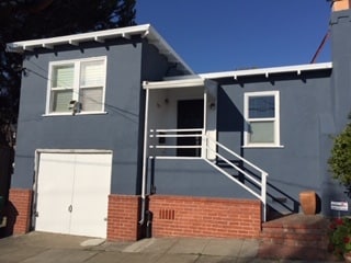
2 Panoramic Way is a house located in Alameda County and the 94704 ZIP Code. This area is served by the Berkeley Unified attendance zone.
The Southside community is located near the University of California, Berkeley. Students and residents can enjoy a variety of fare offered at restaurants that surround this 40,000-student public research campus. Public transportation is abound thanks to the Bay Area Rapid Transit rail station and bus stops near Southside.
You’ll discover numerous coffee shops, two cinemas, and cool museums near the college’s campus buildings and bookstores. Residents and students are close by to the Claremont Canyon Regional Preserve, which is an exceptional hiking destination that overlooks the San Francisco Bay.
Learn more about living in SouthsideBelow are rent ranges for similar nearby apartments
| Beds | Average Size | Lowest | Typical | Premium |
|---|---|---|---|---|
| Studio Studio Studio | 1152 Sq Ft | $1,070 | $1,558 | $1,995 |
| 1 Bed 1 Bed 1 Bed | 443 Sq Ft | $829 | $1,673 | $2,800 |
| 2 Beds 2 Beds 2 Beds | 603-612 Sq Ft | $821 | $2,459 | $3,700 |
| 3 Beds 3 Beds 3 Beds | 849-881 Sq Ft | $1,417 | $4,753 | $6,400 |
| 4 Beds 4 Beds 4 Beds | 2112 Sq Ft | $821 | $4,331 | $11,995 |
| Colleges & Universities | Distance | ||
|---|---|---|---|
| Colleges & Universities | Distance | ||
| Walk: | 13 min | 0.7 mi | |
| Drive: | 5 min | 1.6 mi | |
| Drive: | 12 min | 4.0 mi | |
| Drive: | 12 min | 5.6 mi |
 The GreatSchools Rating helps parents compare schools within a state based on a variety of school quality indicators and provides a helpful picture of how effectively each school serves all of its students. Ratings are on a scale of 1 (below average) to 10 (above average) and can include test scores, college readiness, academic progress, advanced courses, equity, discipline and attendance data. We also advise parents to visit schools, consider other information on school performance and programs, and consider family needs as part of the school selection process.
View GreatSchools Rating Methodology
Data provided by GreatSchools.org © 2025. All rights reserved.
Transportation options available in Berkeley include Downtown Berkeley, located 1.6 miles from 2 Panoramic Way. 2 Panoramic Way is near Metro Oakland International, located 14.7 miles or 24 minutes away, and San Francisco International, located 25.2 miles or 42 minutes away.
| Transit / Subway | Distance | ||
|---|---|---|---|
| Transit / Subway | Distance | ||
|
|
Drive: | 5 min | 1.6 mi |
|
|
Drive: | 5 min | 1.6 mi |
|
|
Drive: | 6 min | 2.0 mi |
|
|
Drive: | 8 min | 2.4 mi |
|
|
Drive: | 7 min | 2.4 mi |
| Commuter Rail | Distance | ||
|---|---|---|---|
| Commuter Rail | Distance | ||
|
|
Drive: | 10 min | 3.3 mi |
|
|
Drive: | 11 min | 3.8 mi |
|
|
Drive: | 13 min | 6.4 mi |
| Drive: | 20 min | 9.7 mi | |
| Drive: | 23 min | 12.8 mi |
| Airports | Distance | ||
|---|---|---|---|
| Airports | Distance | ||
|
Metro Oakland International
|
Drive: | 24 min | 14.7 mi |
|
San Francisco International
|
Drive: | 42 min | 25.2 mi |
Time and distance from 2 Panoramic Way.
| Shopping Centers | Distance | ||
|---|---|---|---|
| Shopping Centers | Distance | ||
| Walk: | 20 min | 1.1 mi | |
| Drive: | 4 min | 1.3 mi | |
| Drive: | 5 min | 1.7 mi |
| Parks and Recreation | Distance | ||
|---|---|---|---|
| Parks and Recreation | Distance | ||
|
People's Park
|
Walk: | 12 min | 0.6 mi |
|
Willard Park
|
Walk: | 18 min | 1.0 mi |
|
University and Jepson Herbaria
|
Drive: | 6 min | 1.6 mi |
|
Essig Museum of Entomology
|
Drive: | 6 min | 1.6 mi |
|
UC Berkeley Museum of Paleontology
|
Drive: | 6 min | 1.6 mi |
| Hospitals | Distance | ||
|---|---|---|---|
| Hospitals | Distance | ||
| Drive: | 4 min | 1.3 mi | |
| Drive: | 9 min | 2.9 mi | |
| Drive: | 10 min | 3.5 mi |
| Military Bases | Distance | ||
|---|---|---|---|
| Military Bases | Distance | ||
| Drive: | 14 min | 4.7 mi | |
| Drive: | 20 min | 8.1 mi |
You May Also Like
Similar Rentals Nearby
What Are Walk Score®, Transit Score®, and Bike Score® Ratings?
Walk Score® measures the walkability of any address. Transit Score® measures access to public transit. Bike Score® measures the bikeability of any address.
What is a Sound Score Rating?
A Sound Score Rating aggregates noise caused by vehicle traffic, airplane traffic and local sources
