$1,500
Total Monthly Price
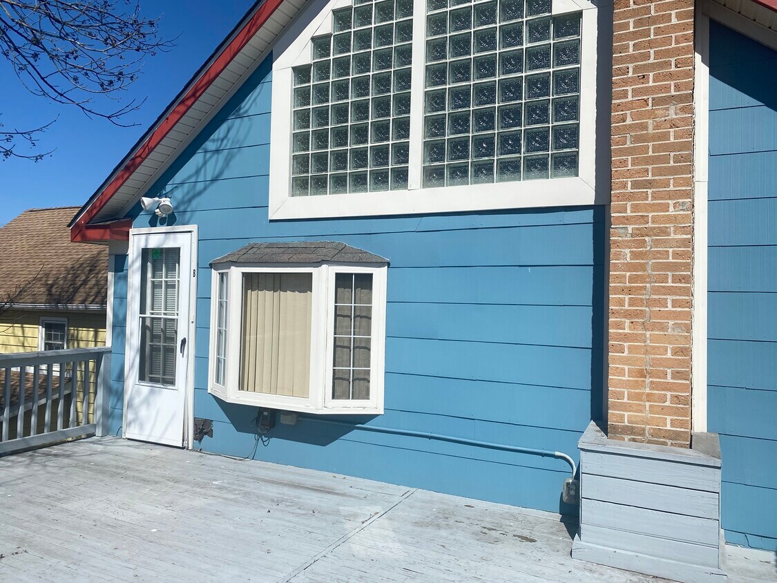
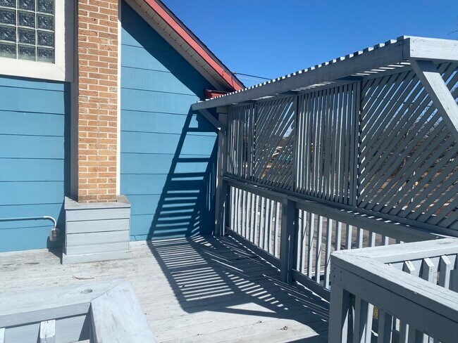
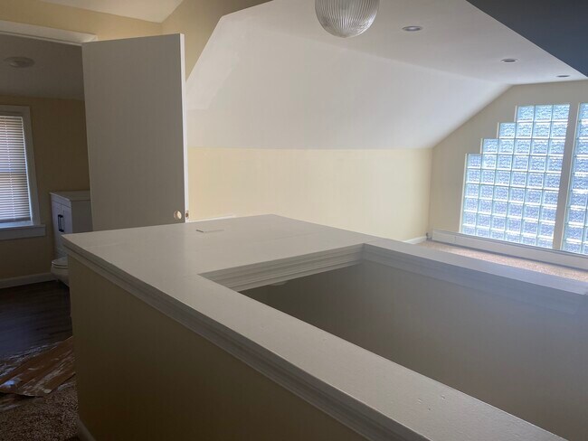
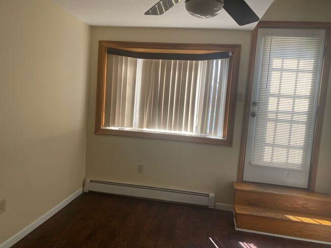
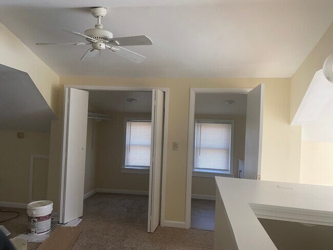
2 Berlin Rd N Unit B
Lindenwold, NJ 08021
Favorites
2 Berlin Rd N Unit B

Favorites
Check Back Soon for Upcoming Availability
| Beds | Baths | Average SF |
|---|---|---|
| 2 Bedrooms 2 Bedrooms 2 Br | 1.5 Baths 1.5 Baths 1.5 Ba | 1,800 SF |
Fees and Policies
Details
Utilities Included
-
Water
-
Trash Removal
-
Sewer
Property Information
-
3 units
About This Property
Apt close to speed line grocery stores and restraunts Safe are. 2nd Bedroom very large
2 Berlin Rd N is an apartment community located in Camden County and the 08021 ZIP Code.
Apartment Features
- Air Conditioning
- Smoke Free
- Dishwasher
2 Berlin Rd N,
Lindenwold,
NJ
08021
Tucked into Camden County in South Jersey, Lindenwold is a small borough that punches well above its size when it comes to accessibility and everyday livability. Incorporated in 1929, the borough sits close enough to Philadelphia to make cross-river commuting straightforward, thanks to the PATCO Speedline, which runs its main operations facility right out of Lindenwold Station. New Jersey Transit's Atlantic City Line also stops here, giving residents two distinct transit corridors without the congestion of a major city.
The borough carries a settled, low-key character across its four square miles. Lindenwold Memorial Park draws outdoor enthusiasts with baseball and soccer fields, fitness circuits, and walking trails, while Timber Creek Park stretches 128 acres into neighboring Gloucester Township. For broader retail and dining options, the Voorhees Town Center sits just next door.
Learn more about living in Lindenwold
Amenities
- Air Conditioning
- Smoke Free
- Dishwasher
Expenses
Utilities Included
Water, Trash Removal, Sewer
Included
Education
| Colleges & Universities | Distance | ||
|---|---|---|---|
| Colleges & Universities | Distance | ||
| Drive: | 11 min | 5.8 mi | |
| Drive: | 20 min | 10.5 mi | |
| Drive: | 19 min | 13.4 mi | |
| Drive: | 25 min | 13.6 mi |
2 Berlin Rd N Unit B is within 11 minutes or 5.8 miles from Camden Co. Coll., Blackwood. It is also near Gloucester County College and Camden Co. Coll., Camden City.
Transportation options available in Lindenwold include Lindenwold (Patco), located 1.0 mile from 2 Berlin Rd N Unit B. 2 Berlin Rd N Unit B is near Philadelphia International, located 19.7 miles or 32 minutes away, and Trenton Mercer, located 42.8 miles or 60 minutes away.
| Transit / Subway | Distance | ||
|---|---|---|---|
| Transit / Subway | Distance | ||
|
|
Walk: | 18 min | 1.0 mi |
|
|
Drive: | 7 min | 3.5 mi |
|
|
Drive: | 11 min | 5.4 mi |
|
|
Drive: | 10 min | 6.5 mi |
|
|
Drive: | 12 min | 7.8 mi |
| Commuter Rail | Distance | ||
|---|---|---|---|
| Commuter Rail | Distance | ||
|
|
Walk: | 17 min | 0.9 mi |
|
|
Drive: | 10 min | 6.9 mi |
|
|
Drive: | 16 min | 9.7 mi |
| Drive: | 23 min | 13.3 mi | |
|
|
Drive: | 24 min | 15.8 mi |
| Airports | Distance | ||
|---|---|---|---|
| Airports | Distance | ||
|
Philadelphia International
|
Drive: | 32 min | 19.7 mi |
|
Trenton Mercer
|
Drive: | 60 min | 42.8 mi |
Walkability Near 2 Berlin Rd N Lindenwold, NJ 08021
Getting Around
 What do Walkability, Transit, Drivability, and Bikeability mean?
Walkability measures the walking distance to day-to-day needs.
Transit measures access to public transportation.
Drivability measures congestion, parking availability, and access to major roads.
Bikeability measures the suitability for cycling.
How It Works
What do Walkability, Transit, Drivability, and Bikeability mean?
Walkability measures the walking distance to day-to-day needs.
Transit measures access to public transportation.
Drivability measures congestion, parking availability, and access to major roads.
Bikeability measures the suitability for cycling.
How It Works
Fairly Walkable
Walkability
50
/ 100
Limited Public Transit
Transit
30
/ 100
Moderately Drivable
Drivability
70
/ 100
Fairly Bikeable
Bikeability
40
/ 100
Scores provided by
-
Soundscore™
-
/ 100
Traffic
-Airport
-Businesses
-Scores provided by
HowLoud What is a Sound Score Rating? A Sound Score Rating aggregates noise caused by vehicle traffic, airplane traffic and local sources. How It WorksTime and distance from 2 Berlin Rd N Unit B.
| Shopping Centers | Distance | ||
|---|---|---|---|
| Shopping Centers | Distance | ||
| Walk: | 13 min | 0.7 mi | |
| Walk: | 14 min | 0.8 mi | |
| Walk: | 20 min | 1.0 mi |
2 Berlin Rd N Unit B has 3 shopping centers within 1.0 miles, which is about a 20-minute walk. The miles and minutes will be for the farthest away property.
| Parks and Recreation | Distance | ||
|---|---|---|---|
| Parks and Recreation | Distance | ||
|
Downs Farms Trails
|
Drive: | 8 min | 4.1 mi |
|
Kresson Nature Trails
|
Drive: | 11 min | 5.3 mi |
|
Croft Farm Nature Trail
|
Drive: | 12 min | 6.7 mi |
|
Garden State Discovery Museum
|
Drive: | 14 min | 7.2 mi |
|
Barclay Farmstead Nature Trail
|
Drive: | 16 min | 9.5 mi |
2 Berlin Rd N Unit B has 5 parks within 9.5 miles, including Downs Farms Trails, Kresson Nature Trails, and Croft Farm Nature Trail.
| Hospitals | Distance | ||
|---|---|---|---|
| Hospitals | Distance | ||
| Drive: | 4 min | 1.6 mi | |
| Drive: | 12 min | 6.2 mi | |
| Drive: | 14 min | 7.5 mi |
2 Berlin Rd N Unit B has 3 hospitals within 7.5 miles, the nearest is Jefferson Stratford Hospital which is 1.6 miles away and a 4 minute drive.
| Military Bases | Distance | ||
|---|---|---|---|
| Military Bases | Distance | ||
| Drive: | 23 min | 14.8 mi | |
| Drive: | 51 min | 31.6 mi | |
| Drive: | 57 min | 31.6 mi |
2 Berlin Rd N Unit B has 3 military bases within 31.6 miles, the nearest is Philadelphia Naval Busi Center which is 14.8 miles away and a 23 minute drive.
You May Also Like
How do I access Social Services in New Jersey?
Statewide service is free, confidential, multilingual and always open. Three easy ways to reach Social Services in NJ: Dial 2-1-1; text your zip code to 898-211; or chat at https://www.nj211.org
Similar Rentals Nearby


What Are Walk Score®, Transit Score®, and Bike Score® Ratings?
Walk Score® measures the walkability of any address. Transit Score® measures access to public transit. Bike Score® measures the bikeability of any address.
What is a Sound Score Rating?
A Sound Score Rating aggregates noise caused by vehicle traffic, airplane traffic and local sources.

2 Berlin Rd N
Lindenwold, NJ 08021