$1,500
Total Monthly Price
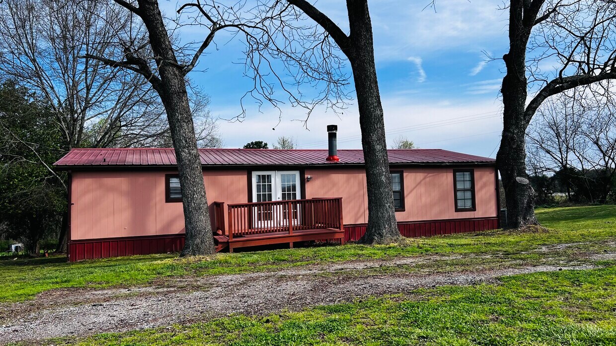
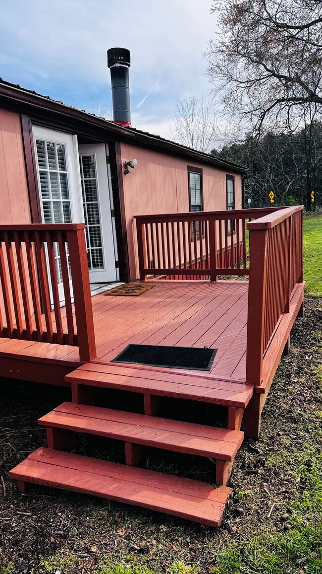
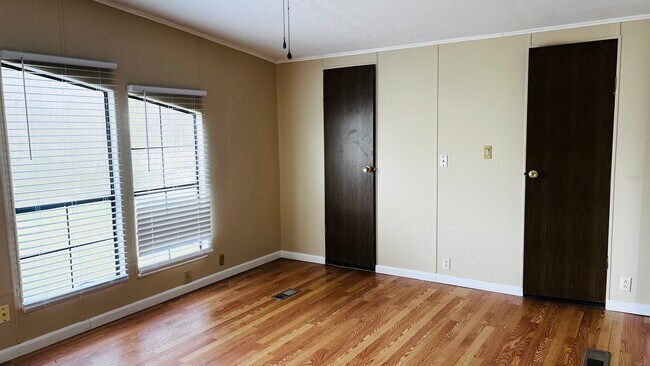
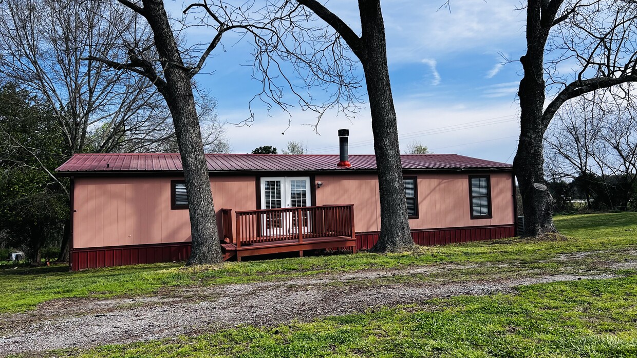
1982 US-441
Homer, GA 30547
1 Day Ago
|
Edit
Favorites
762-900-3075
-
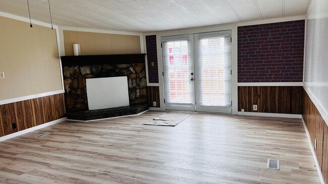
Bedrooms
3
-
Bathrooms
2
-
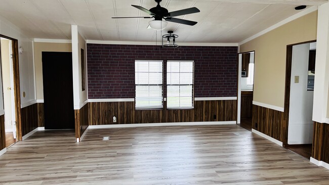
Square Feet
1,500 sq ft
-
Available
Available Now
1982 US-441

Favorites
About This Home
12 Month Lease,
$1,500 deposit,
Available Now
Very nice, very quiet, good location. Near to Banks Hight school .
1982 Us-441 is a house located in Banks County and the 30547 ZIP Code. This area is served by the Banks County School District attendance zone.
* Price shown is total price based on community-supplied monthly required fees. Excludes user-selected optional fees and variable or usage-based fees and required charges due at or prior to move-in or at move-out. Price, availability, fees, and any applicable rent special are subject to change without notice.
* Square footage definitions vary. Displayed square footage is approximate.
House Features
Washer/Dryer Hookup
High Speed Internet Access
Tub/Shower
Ceiling Fans
- High Speed Internet Access
- Washer/Dryer Hookup
- Heating
- Ceiling Fans
- Cable Ready
- Satellite TV
- Tub/Shower
Fees and Policies
The fees listed below are community-provided and may exclude utilities or add-ons. All payments are made directly to the property and are non-refundable unless otherwise specified.
- Parking
-
Surface Lot--
Details
Utilities Included
-
Sewer
Contact
- Listed by David Jones
- Phone Number
- Contact
Location
Get Directions
Education
| Colleges & Universities | Distance | ||
|---|---|---|---|
| Colleges & Universities | Distance | ||
| Drive: | 21 min | 15.3 mi | |
| Drive: | 44 min | 33.0 mi | |
| Drive: | 44 min | 33.7 mi | |
| Drive: | 48 min | 38.6 mi |
1982 US-441 is within 21 minutes or 15.3 miles from Piedmont College, Demorest. It is also near Brenau University and University of North Georgia.
Schools


Public Elementary School
Grades K-5
Nearby
Public Middle School
Grades 6-8
Nearby
Public High School
Grades 9-12
Nearby
School data provided by
 The GreatSchools Rating helps parents compare schools within a state based on a variety of school quality indicators and provides a helpful picture of how effectively each school serves all of its students. Ratings are on a scale of 1 (below average) to 10 (above average) and can include test scores, college readiness, academic progress, advanced courses, equity, discipline and attendance data. We also advise parents to visit schools, consider other information on school performance and programs, and consider family needs as part of the school selection process.
View GreatSchools Rating Methodology
Data provided by GreatSchools.org © 2026. All rights reserved.
View GreatSchools Rating Methodology
Data provided by GreatSchools.org © 2026. All rights reserved.
Getting Around
 What do Walkability, Transit, Drivability, and Bikeability mean?
Walkability measures the walking distance to day-to-day needs.
Transit measures access to public transportation.
Drivability measures congestion, parking availability, and access to major roads.
Bikeability measures the suitability for cycling.
How It Works
What do Walkability, Transit, Drivability, and Bikeability mean?
Walkability measures the walking distance to day-to-day needs.
Transit measures access to public transportation.
Drivability measures congestion, parking availability, and access to major roads.
Bikeability measures the suitability for cycling.
How It Works
Not Walkable
Walkability
0
/ 100
Exceptionally Drivable
Drivability
100
/ 100
Somewhat Bikeable
Bikeability
20
/ 100
Scores provided by
-
Soundscore™
-
/ 100
Traffic
-Airport
-Businesses
-Scores provided by
HowLoud What is a Sound Score Rating? A Sound Score Rating aggregates noise caused by vehicle traffic, airplane traffic and local sources. How It Works
Amenities
- High Speed Internet Access
- Washer/Dryer Hookup
- Heating
- Ceiling Fans
- Cable Ready
- Satellite TV
- Tub/Shower
1982 US-441 Photos
What Are Walk Score®, Transit Score®, and Bike Score® Ratings?
Walk Score® measures the walkability of any address. Transit Score® measures access to public transit. Bike Score® measures the bikeability of any address.
What is a Sound Score Rating?
A Sound Score Rating aggregates noise caused by vehicle traffic, airplane traffic and local sources.
1982 US-441
Homer, GA 30547