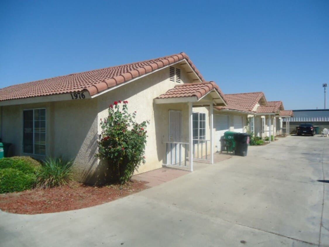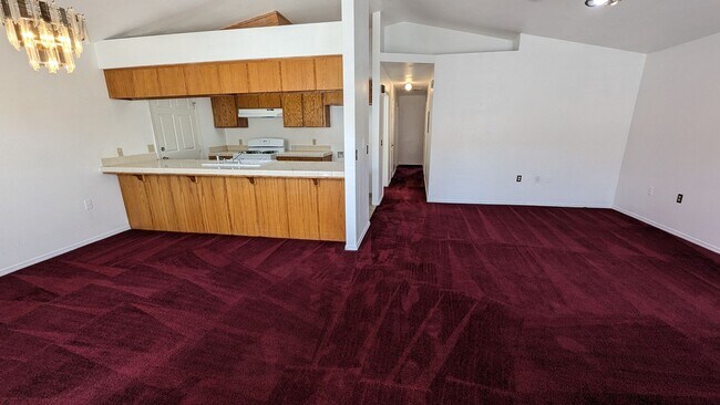
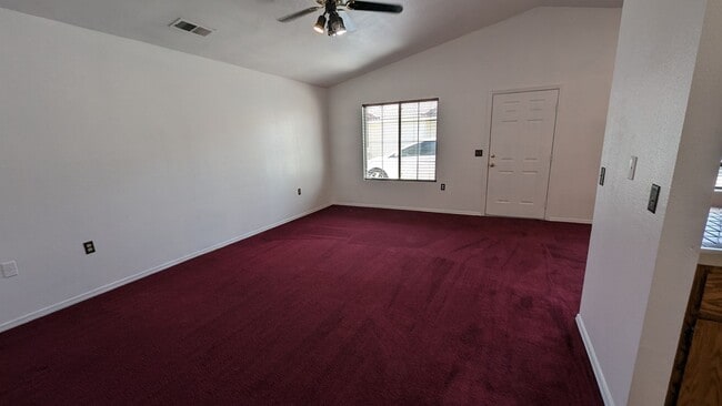
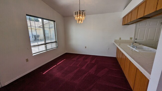


3 Beds, 2.5 Baths, 1,200 sq ft
$1,300
Total Monthly Price
12 Month Lease
Total Monthly Price
New
Prices include all required monthly fees.
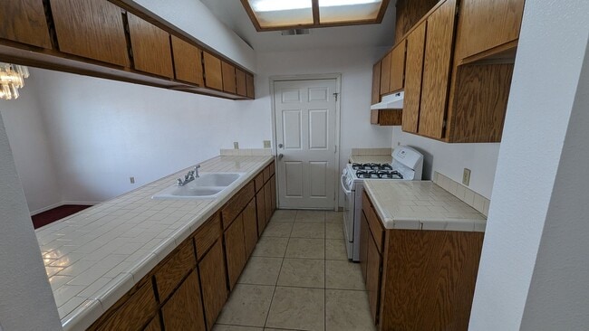
757 W Putnam Ave Unit 4