
$1,700 / Month

1971 N Camino de la Cienega

,

Tucson, AZ 85715

Share Listing
Favorites
520-907-2400
  • Bedrooms

    2

  • Bathrooms

    1.5

  • Square Feet

    1,279 sq ft

  • Available

    Available Now

1971 N Camino de la Cienega
Share Listing
Favorites

About This Home

$1,700 deposit, Available Now

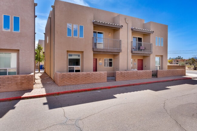
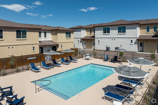
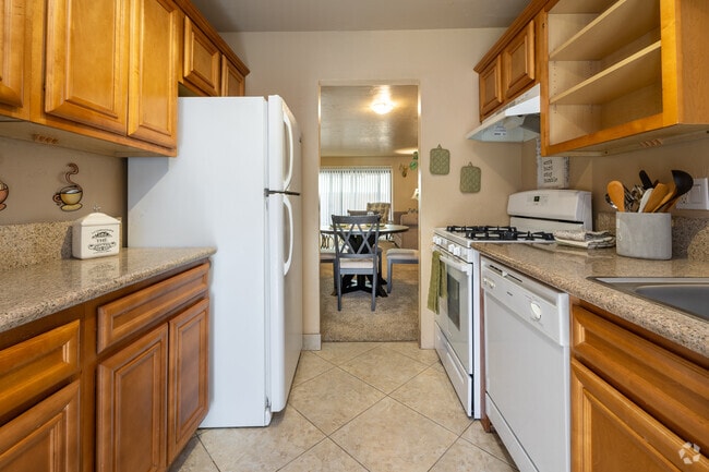
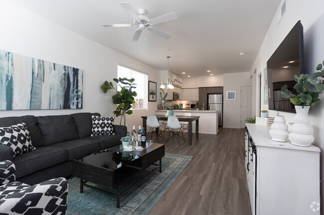
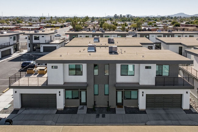
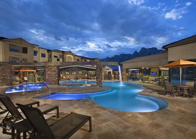
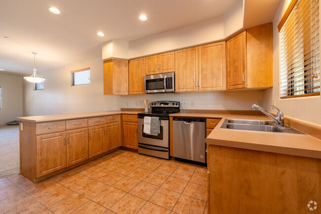
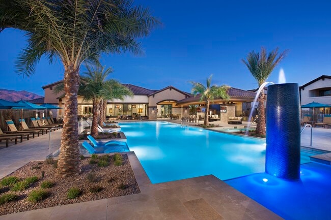
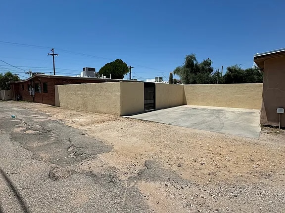
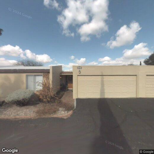
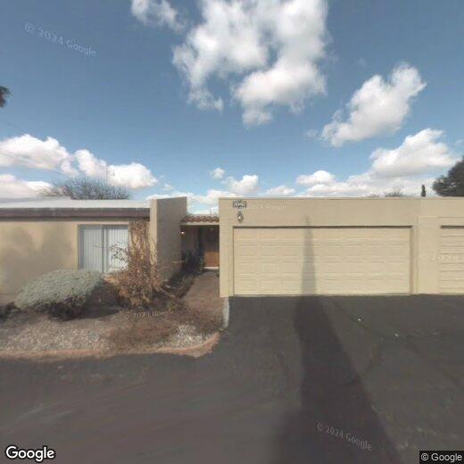
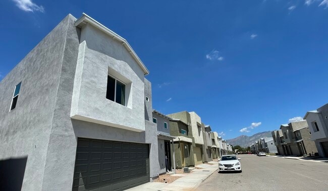
Completely remodeled, 2 bedroom, 2 bath Townhome in prestigious Pantano Townhomes. New paint, tile, electrical, appliances, etc. Two car carport & storage. Covered fenced patio. Community pool & tennis courts. Close to shopping & medical. Only $1700. Pictures coming soon. MLS ID 22613359

1971 N Camino De La Cienega is a townhome located in Pima County and the 85715 ZIP Code.

* Price shown is base rent. Excludes user-selected optional fees and variable or usage-based fees and required charges due at or prior to move-in or at move-out. Price, availability, fees, and any applicable rent special are subject to change without notice.
* Square footage definitions vary. Displayed square footage is approximate.

Fees and Policies

The fees listed below are community-provided and may exclude utilities or add-ons. All payments are made directly to the property and are non-refundable unless otherwise specified. Use the Cost Calculator to determine costs based on your needs.

  • One-Time Basics
    • Due at Move-In
      • Security Deposit - Refundable
        Charged per unit.
        $1,700

Property Fee Disclaimer: Based on community-supplied data and independent market research. Subject to change without notice. May exclude fees for mandatory or optional services and usage-based utilities.

Contact

  • Listed by Sandy Teachout | Bidegain Realty, Inc.
  • Phone Number
  • Contact
  • Source
    MLS of Southern Arizona
Copyright 2026 © MLS of Southern Arizona. All rights reserved.
| Edit

Under 30 minutes

Commute Time is calculated at rush hour.
City - Tucson

Tucson is a lively oasis in Arizona’s Sonoran Desert, surrounded by numerous mountain ranges. The city of Tucson is as scenic as it gets, seeing as it’s surrounded by beautiful nature preserves and mountainous terrain, including Saguaro National Park, Mount Lemmon, and Tucson Mountain Park – making it an excellent place for renters who love mountain biking, hiking, camping, and rock climbing.

The University of Arizona is just a few blocks from Downtown Tucson, and the more than 40,000 students enrolled at the university contribute to the city’s eclectic arts, entertainment, and nightlife scenes. Downtown Tucson has undergone major renovations since the early 2000s, blossoming into a thriving hub of activity for residents and visitors alike.

The Davis-Monthan Air Force Base lies near the center of the city, and is one of Tucson’s biggest employers for armed service personnel and civilians alike.

Learn more about living in Tucson 
Education
Colleges & Universities Distance
Drive: 16 min 7.2 mi
Drive: 16 min 7.6 mi
Drive: 19 min 8.7 mi
Drive: 22 min 9.9 mi
1971 N Camino de la Cienega is within 16 minutes or 7.2 miles from University of Arizona. It is also near Pima C.C., East Campus and Pima C.C., Downtown Campus.
Transportation

Transportation options available in Tucson include Sl/Helen/Warren (Se), located 6.9 miles from 1971 N Camino de la Cienega. 1971 N Camino de la Cienega is near Tucson International, located 14.3 miles or 26 minutes away.

Transit / Subway Distance
Drive: 15 min 6.9 mi
Drive: 16 min 7.0 mi
Drive: 16 min 7.3 mi
Drive: 17 min 7.4 mi
Drive: 17 min 7.7 mi
Commuter Rail Distance
Drive: 20 min 9.0 mi
Airports Distance
Airports Distance
Tucson International
Drive: 26 min 14.3 mi
Getting Around
Moderately Walkable
Walkability
60 / 100
Limited Public Transit
Transit
30 / 100
Exceptionally Drivable
Drivability
100 / 100
Exceptionally Bikeable
Bikeability
90 / 100

Scores provided by

What do Walkability, Transit, Drivability, and Bikeability mean? Walkability measures the walking distance to day-to-day needs. Transit measures access to public transportation. Drivability measures congestion, parking availability, and access to major roads. Bikeability measures the suitability for cycling. How It Works
-
Soundscore
- / 100

Traffic

-

Airport

-

Businesses

-

Scores provided by

HowLoud What is a Sound Score Rating? A Sound Score Rating aggregates noise caused by vehicle traffic, airplane traffic and local sources. How It Works
Points of Interest

Time and distance from 1971 N Camino de la Cienega.

Shopping Centers Distance
Walk: 8 min 0.5 mi
Walk: 11 min 0.6 mi
Walk: 12 min 0.7 mi
1971 N Camino de la Cienega has 3 shopping centers within 0.7 mile, which is about a 12-minute walk. The miles and minutes will be for the farthest away property.
Parks and Recreation Distance
Morris K. Udall Park
Drive: 3 min 1.2 mi
Fort Lowell Park
Drive: 6 min 2.8 mi
Palo Verde Park
Drive: 9 min 3.4 mi
Stefan Gollob Park
Drive: 9 min 3.7 mi
Case Park
Drive: 9 min 4.4 mi
1971 N Camino de la Cienega has 5 parks within 4.4 miles, including Morris K. Udall Park, Fort Lowell Park, and Palo Verde Park.
Hospitals Distance
Hospitals Distance
Drive: 3 min 1.3 mi
Drive: 5 min 2.3 mi
Drive: 5 min 2.4 mi
1971 N Camino de la Cienega has 3 hospitals within 2.4 miles, the nearest is Cornerstone Behavioral Health El Dorado which is 1.3 miles away and a 3 minute drive.
Military Bases Distance
Drive: 13 min 6.9 mi
Drive: 27 min 14.4 mi
Drive: 91 min 72.3 mi
1971 N Camino de la Cienega has 3 military bases within 72.3 miles, the nearest is Davis Monthan Air Force Base which is 6.9 miles away and a 13 minute drive.

You May Also Like

Similar Rentals Nearby