
$1,100 / Month
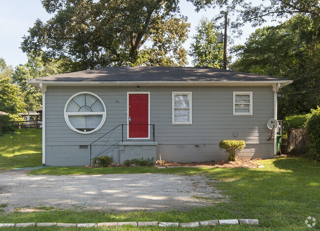
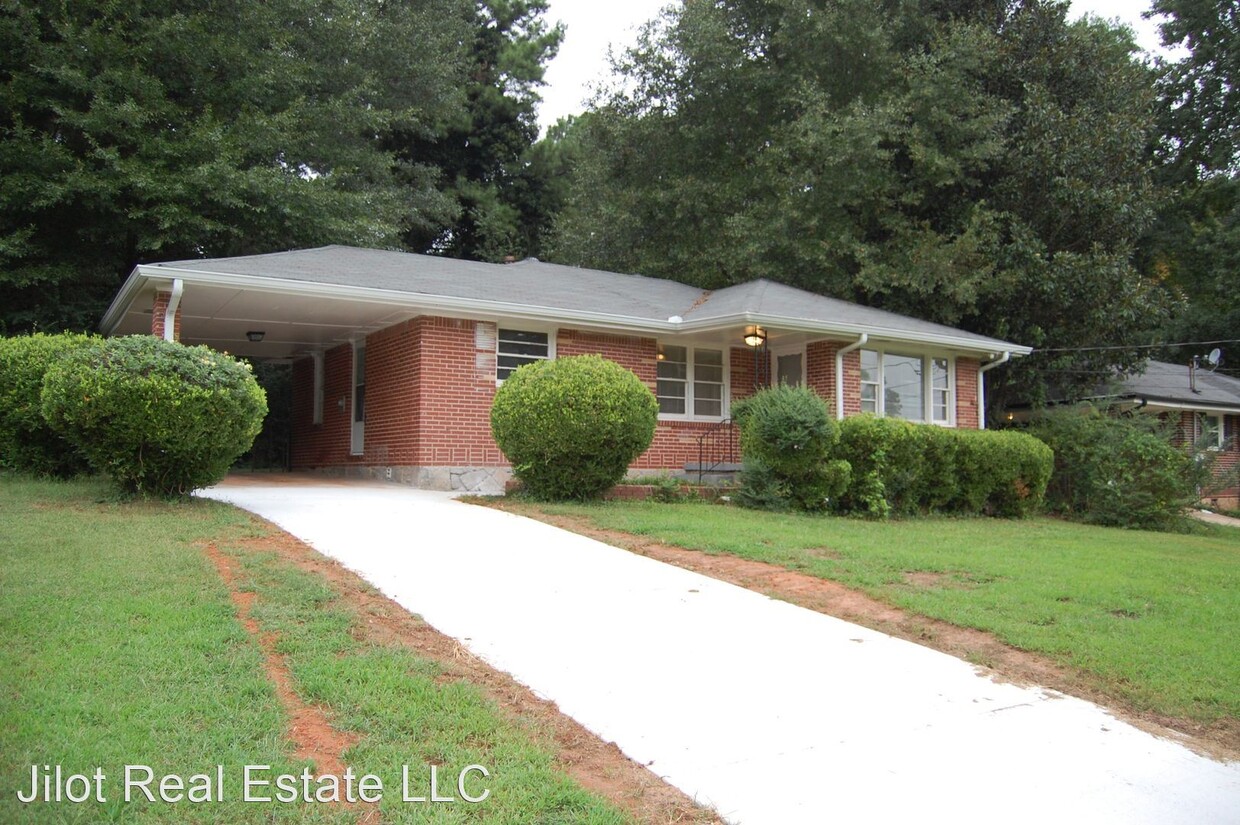
1969 Laurel Ln
Decatur, GA 30032
2 Weeks Ago
Favorites
1969 Laurel Ln

Favorites
Check Back Soon for Upcoming Availability
| Beds | Baths | Average SF |
|---|---|---|
| 2 Bedrooms 2 Bedrooms 2 Br | 1 Bath 1 Bath 1 Ba | 942 SF |
About This Property
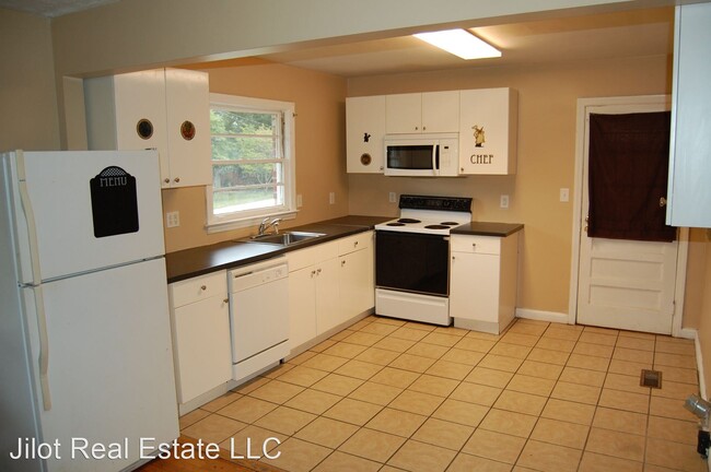
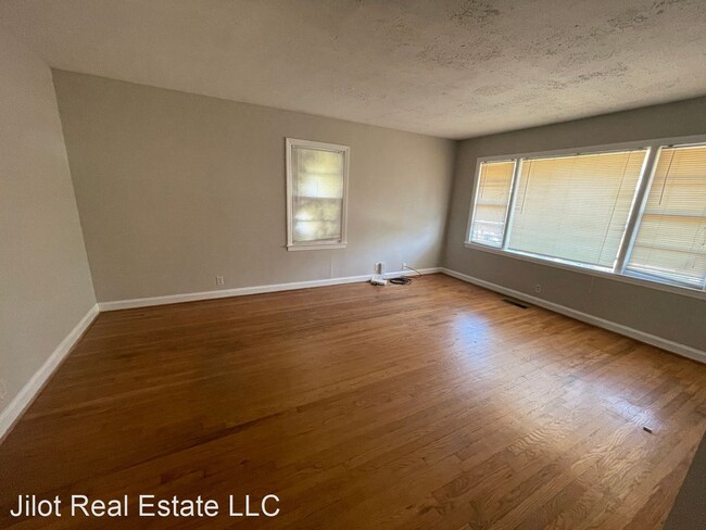
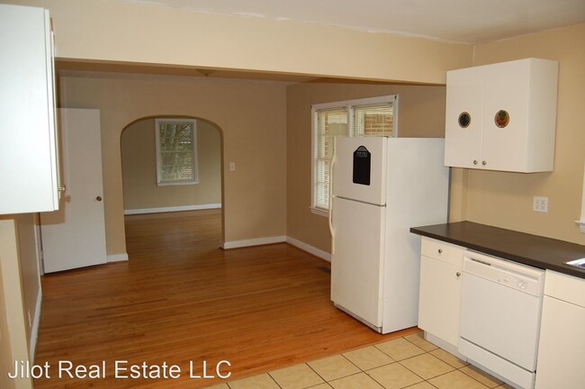
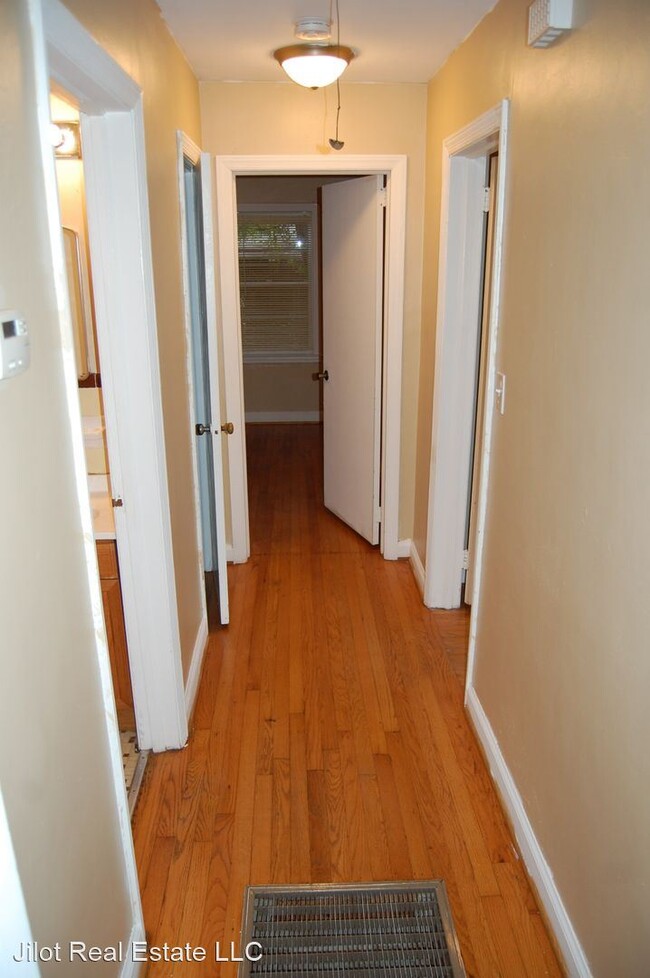
(404) 377-6565 - Classic Decatur Ranch Move in Ready - Brand new driveway welcomes as you notice the glowing hardwoods and fresh paint in this classic Decatur ranch. Large, open Kitchen overlooks dining area and living room. Hallway leads past updated bath with original tile and ends at 2 split bedrooms. Large yard! Enjoy the rare carport! Great location is minute from 285, 20, and downtown. $60 application fee per applicant. Reservation fee required to hold property equal to one month rent, 12 month lease. Sorry no section 8. (RLNE7221088)
1969 Laurel Ln is a house located in DeKalb County and the 30032 ZIP Code. This area is served by the DeKalb County attendance zone.
Location
Get Directions
Situated between East Atlanta Village and I-285, Candler-McAfee is a laidback suburban community with a small-town feel. Residents enjoy access to a broad range of shops and restaurants stretched along Candler Road, the community’s main commercial thoroughfare.
Candler-McAfee is mostly residential, offering an overall peaceful atmosphere in addition to numerous apartments and houses available for rent along tree-lined streets. While the whole community touts a park-like environment, Candler-McAfee is home to several scenic parks like Glendale Park, NH Scott Park, and Misty Waters Park. Quick access to both I-20 and I-285 affords many Candler-McAfee residents short commute times to countless area employers and attractions.
Learn more about living in Candler-McAfeeBelow are rent ranges for similar nearby apartments
Education
| Colleges & Universities | Distance | ||
|---|---|---|---|
| Colleges & Universities | Distance | ||
| Drive: | 9 min | 4.1 mi | |
| Drive: | 11 min | 4.8 mi | |
| Drive: | 14 min | 5.9 mi | |
| Drive: | 14 min | 6.8 mi |
1969 Laurel Ln is within 9 minutes or 4.1 miles from Agnes Scott College. It is also near Georgia Perim. Coll., Decatur and Georgia Perim., Clarkston.
Schools


Public Elementary School
Grades PK-5
501 Students
Attendance Zone
Public Middle School
Grades 6-8
604 Students
Attendance Zone
Public High School
Grades 9-12
898 Students
Attendance Zone
Private Elementary, Middle & High School
Grades PK-12
133 Students
Nearby
Private Elementary School
Grades PK-1
Nearby
Private Elementary, Middle & High School
Grades 3-12
Nearby
School data provided by
 The GreatSchools Rating helps parents compare schools within a state based on a variety of school quality indicators and provides a helpful picture of how effectively each school serves all of its students. Ratings are on a scale of 1 (below average) to 10 (above average) and can include test scores, college readiness, academic progress, advanced courses, equity, discipline and attendance data. We also advise parents to visit schools, consider other information on school performance and programs, and consider family needs as part of the school selection process.
View GreatSchools Rating Methodology
View GreatSchools Rating Methodology
Transportation options available in Decatur include Kensington, located 3.7 miles from 1969 Laurel Ln. 1969 Laurel Ln is near Hartsfield - Jackson Atlanta International, located 15.3 miles or 27 minutes away.
| Transit / Subway | Distance | ||
|---|---|---|---|
| Transit / Subway | Distance | ||
|
|
Drive: | 9 min | 3.7 mi |
|
|
Drive: | 11 min | 3.9 mi |
|
|
Drive: | 9 min | 4.4 mi |
|
|
Drive: | 11 min | 5.0 mi |
|
|
Drive: | 11 min | 5.5 mi |
| Commuter Rail | Distance | ||
|---|---|---|---|
| Commuter Rail | Distance | ||
|
|
Drive: | 21 min | 12.2 mi |
| Airports | Distance | ||
|---|---|---|---|
| Airports | Distance | ||
|
Hartsfield - Jackson Atlanta International
|
Drive: | 27 min | 15.3 mi |
Time and distance from 1969 Laurel Ln.
| Shopping Centers | Distance | ||
|---|---|---|---|
| Shopping Centers | Distance | ||
| Drive: | 3 min | 1.1 mi | |
| Drive: | 3 min | 1.1 mi | |
| Drive: | 3 min | 1.2 mi |
1969 Laurel Ln has 3 shopping centers within 1.2 miles, which is about a 3-minute drive. The miles and minutes will be for the farthest away property.
| Parks and Recreation | Distance | ||
|---|---|---|---|
| Parks and Recreation | Distance | ||
|
Wylde Center and Oakhurst Community Garden
|
Drive: | 8 min | 3.9 mi |
|
Glenn Creek Nature Preserve
|
Drive: | 12 min | 4.4 mi |
|
Bradley Observatory
|
Drive: | 9 min | 4.4 mi |
|
Ferns of the World Garden
|
Drive: | 10 min | 4.6 mi |
|
South River Watershed Alliance
|
Drive: | 11 min | 5.1 mi |
1969 Laurel Ln has 5 parks within 5.1 miles, including Wylde Center and Oakhurst Community Garden, Bradley Observatory, and Ferns of the World Garden.
| Hospitals | Distance | ||
|---|---|---|---|
| Hospitals | Distance | ||
| Drive: | 9 min | 4.2 mi | |
| Drive: | 12 min | 6.1 mi | |
| Drive: | 15 min | 7.1 mi |
1969 Laurel Ln has 3 hospitals within 7.1 miles, the nearest is Georgia Regional Hospital Atlanta which is 4.2 miles away and a 9 minute drive.
| Military Bases | Distance | ||
|---|---|---|---|
| Military Bases | Distance | ||
| Drive: | 22 min | 12.6 mi | |
| Drive: | 23 min | 13.1 mi |
1969 Laurel Ln is 12.6 miles from Fort McPherson, and is convenient to other military bases, including Fort Gillem.
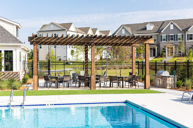
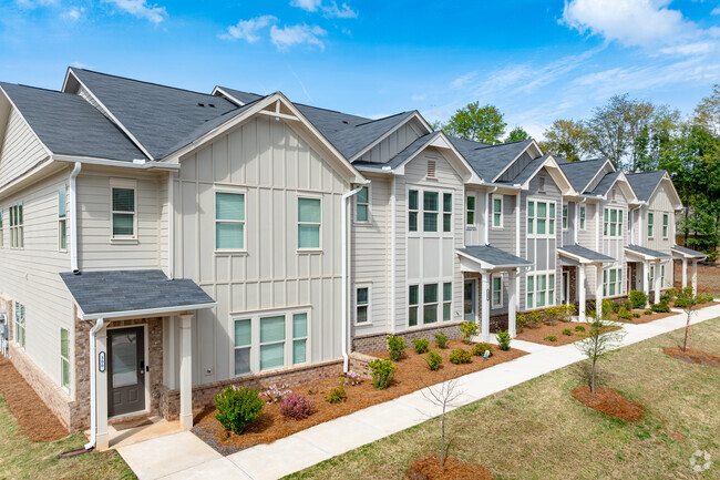
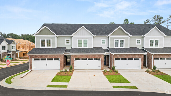
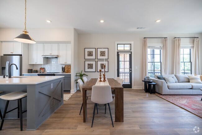
You May Also Like
Similar Rentals Nearby
-
-
-
-
-
-
-
1 / 28
-
-
-

What Are Walk Score®, Transit Score®, and Bike Score® Ratings?
Walk Score® measures the walkability of any address. Transit Score® measures access to public transit. Bike Score® measures the bikeability of any address.
What is a Sound Score Rating?
A Sound Score Rating aggregates noise caused by vehicle traffic, airplane traffic and local sources
1969 Laurel Ln
Decatur, GA 30032