
$800
Total Monthly Price
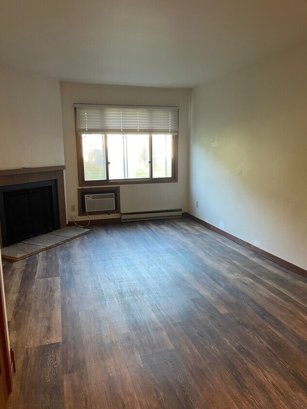
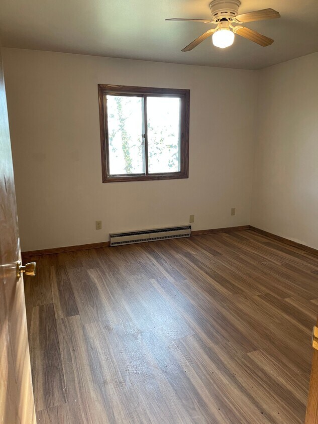
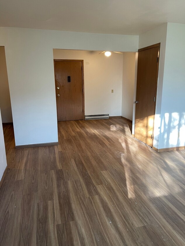
1967 Thomas St Unit 4
Kronenwetter, WI 54455
Favorites
1967 Thomas St Unit 4

Favorites
Check Back Soon for Upcoming Availability
| Beds | Baths | Average SF |
|---|---|---|
| 2 Bedrooms 2 Bedrooms 2 Br | 1 Bath 1 Bath 1 Ba | — |
Fees and Policies
Details
Property Information
-
13 units
1967 Thomas St is an apartment community located in Marathon County and the 54455 ZIP Code.
Apartment Features
- Washer/Dryer
- Storage Space
- Oven
- Refrigerator
- Yard
1967 Thomas St,
Kronenwetter,
WI
54455
Approximately eight miles south of Wausau, Kronenwetter village is the largest village by land mass in the United States – spanning 52.06 total square miles. Major roadways in the area include Interstate 39 and Highway 153, providing residents with easy accessibility to nearby attractions and amenities.
Kronenwetter students are served by two school districts: D.C. Everest School District and Mosinee School District. The northern half of the village is served by D.C. Everest, while the southern half attend schools within Mosinee. The Central Wisconsin Airport (KCWA) is just a six-mile drive away with flights to Chicago, Minneapolis, and Detroit. For restaurants, a movie cinema, and shopping, Cedar Creek Mall is your go-to destination.
Learn more about living in Kronenwetter
Amenities
- Washer/Dryer
- Storage Space
- Oven
- Refrigerator
- Yard
Education
| Colleges & Universities | Distance | ||
|---|---|---|---|
| Colleges & Universities | Distance | ||
| Drive: | 33 min | 26.6 mi |
1967 Thomas St Unit 4 is within 33 minutes or 26.6 miles from Univ of Wisc., Stevens Point.
Walkability Near 1967 Thomas St Kronenwetter, WI 54455
Getting Around
 What do Walkability, Transit, Drivability, and Bikeability mean?
Walkability measures the walking distance to day-to-day needs.
Transit measures access to public transportation.
Drivability measures congestion, parking availability, and access to major roads.
Bikeability measures the suitability for cycling.
How It Works
What do Walkability, Transit, Drivability, and Bikeability mean?
Walkability measures the walking distance to day-to-day needs.
Transit measures access to public transportation.
Drivability measures congestion, parking availability, and access to major roads.
Bikeability measures the suitability for cycling.
How It Works
Not Walkable
Walkability
10
/ 100
Exceptionally Drivable
Drivability
90
/ 100
Somewhat Bikeable
Bikeability
30
/ 100
Scores provided by
-
Soundscore™
-
/ 100
Traffic
-Airport
-Businesses
-Scores provided by
HowLoud What is a Sound Score Rating? A Sound Score Rating aggregates noise caused by vehicle traffic, airplane traffic and local sources. How It WorksYou May Also Like
Similar Rentals Nearby
-
-
1 / 34

-
-
-
-
-
-
-
-


What Are Walk Score®, Transit Score®, and Bike Score® Ratings?
Walk Score® measures the walkability of any address. Transit Score® measures access to public transit. Bike Score® measures the bikeability of any address.
What is a Sound Score Rating?
A Sound Score Rating aggregates noise caused by vehicle traffic, airplane traffic and local sources.

1967 Thomas St
Kronenwetter, WI 54455