

$2,150
/ Month
18169 Sundowner Way
Santa Clarita, CA 91387
Favorites
-
Bedrooms
3
-
Bathrooms
2
-
Square Feet
948 sq ft
18169 Sundowner Way

Favorites
Contact
- Listed by Locayt
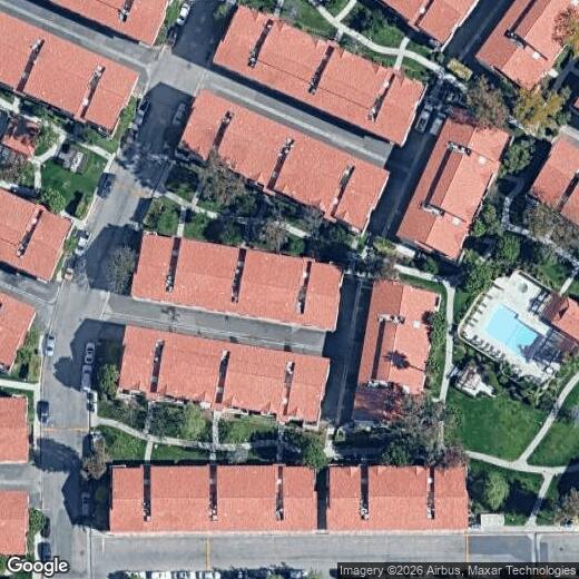
Location
Get Directions
Nestled in the heart of Canyon Country, American Beauty lives up to its name with lush surroundings and majestic mountain views. Predominantly a residential neighborhood, American Beauty is brimming with apartments, condos, and townhomes available for rent.
American Beauty is close to a wide variety of shops and restaurants located along Soledad Canyon Road. American Beauty is also just a short drive away from Downtown Santa Clarita, Six Flags Magic Mountain, and all that Canyon Country has to offer. Getting around from American Beauty is easy with access to the Sierra Highway and the Antelope Valley Freeway.
Learn more about living in American Beauty
Education
| Colleges & Universities | Distance | ||
|---|---|---|---|
| Colleges & Universities | Distance | ||
| Drive: | 17 min | 8.7 mi | |
| Drive: | 20 min | 14.5 mi | |
| Drive: | 26 min | 15.8 mi | |
| Drive: | 29 min | 21.9 mi |
18169 Sundowner Way is within 17 minutes or 8.7 miles from College of the Canyons. It is also near Mission College and Cal State Northridge.
Getting Around
 What do Walkability, Transit, Drivability, and Bikeability mean?
Walkability measures the walking distance to day-to-day needs.
Transit measures access to public transportation.
Drivability measures congestion, parking availability, and access to major roads.
Bikeability measures the suitability for cycling.
How It Works
What do Walkability, Transit, Drivability, and Bikeability mean?
Walkability measures the walking distance to day-to-day needs.
Transit measures access to public transportation.
Drivability measures congestion, parking availability, and access to major roads.
Bikeability measures the suitability for cycling.
How It Works
Fairly Walkable
Walkability
50
/ 100
Limited Public Transit
Transit
30
/ 100
Exceptionally Drivable
Drivability
90
/ 100
Fairly Bikeable
Bikeability
50
/ 100
Scores provided by
Active
Soundscore™
75
/ 100
Traffic
ActiveAirport
CalmBusinesses
ActiveScores provided by
HowLoud What is a Sound Score Rating? A Sound Score Rating aggregates noise caused by vehicle traffic, airplane traffic and local sources. How It WorksYou May Also Like
Similar Rentals Nearby
-
-

-

-

-

-

-

-

-

-
 4 Beds, 3 Baths, 1,790 sq ft$4,000Total Monthly PriceTotal Monthly Price NewPrices include all required monthly fees.22607 Golden Meadow Ln Unit 28
What Are Walk Score®, Transit Score®, and Bike Score® Ratings?
Walk Score® measures the walkability of any address. Transit Score® measures access to public transit. Bike Score® measures the bikeability of any address.
What is a Sound Score Rating?
A Sound Score Rating aggregates noise caused by vehicle traffic, airplane traffic and local sources.
18169 Sundowner Way
Santa Clarita, CA 91387