
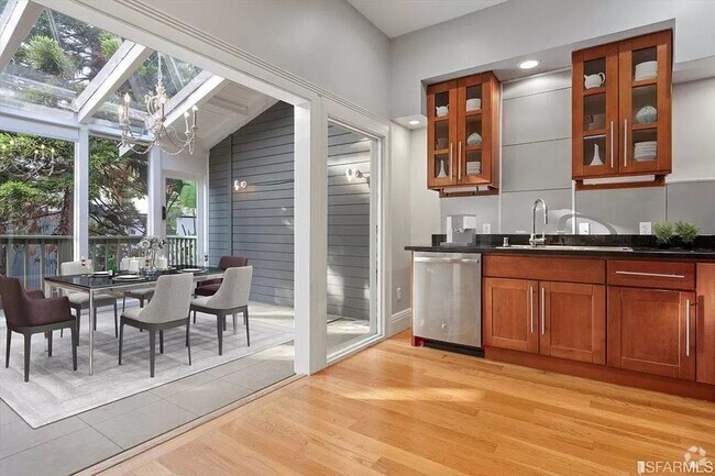
$2,500 / Month
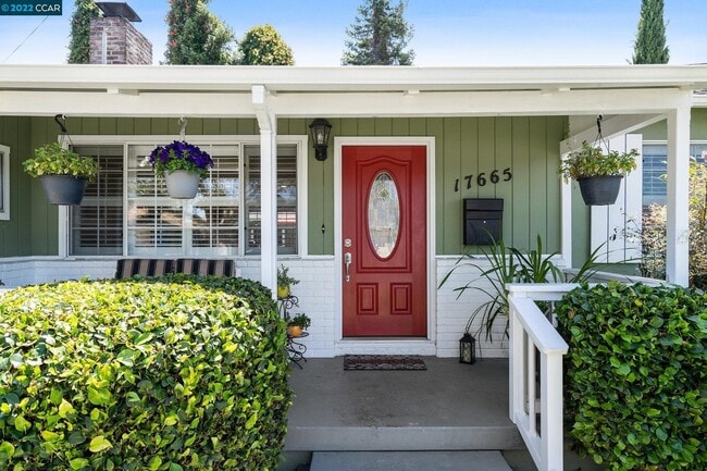
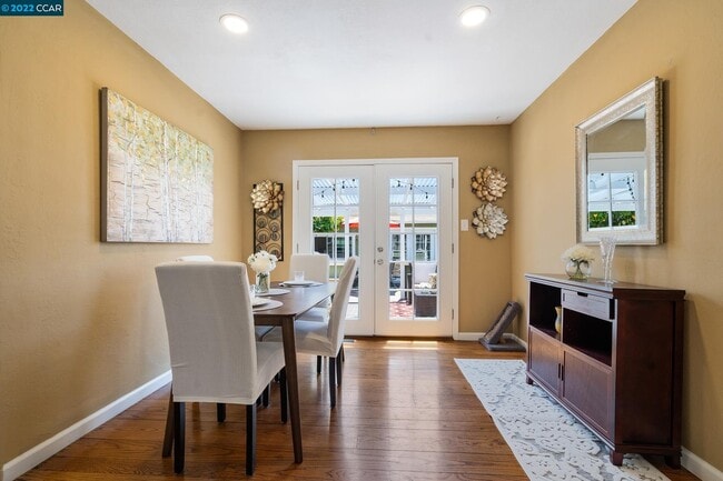
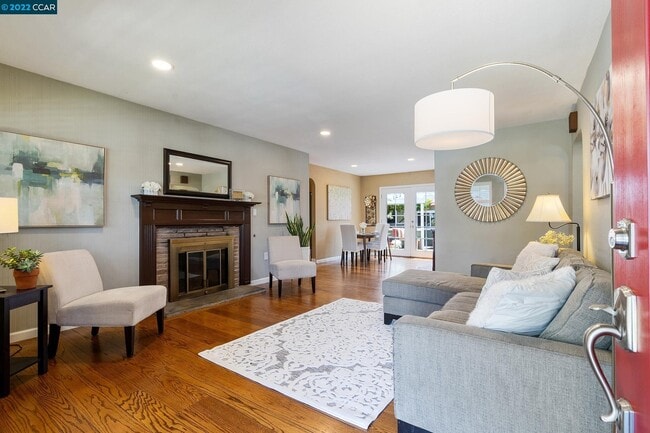
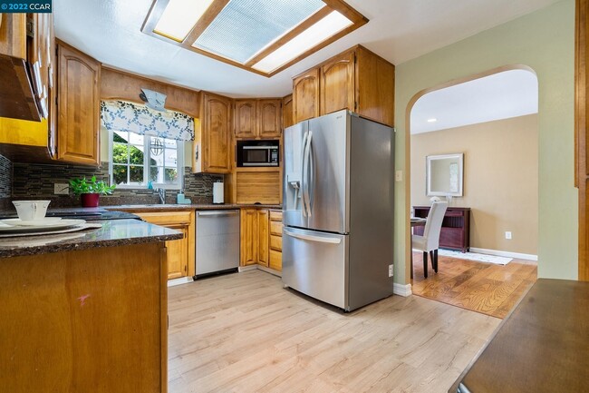
17665 Via Arroyo
San Lorenzo, CA 94580
Today
Favorites
213-824-5320
-
Bedrooms
2
-
Bathrooms
2
-
Square Feet
1,024 sq ft
-
Available
Available May 19
17665 Via Arroyo

Favorites
San Lorenzo sits 12 miles south of Oakland on the eastern edge of the San Francisco Bay. The neighborhood, primarily comprised of several thousand single-family homes bordered by a small commercial district, holds claim to fame for being the first planned housing community built in the nation. Residents enjoy wildlife and recreation in the marshes along the waterfront as well as easy access to larger surrounding cities like San Leandro, Hayward, and Fremont.
Access to BART metro transit and the overall buzz of the Bay Area has made San Lorenzo a burgeoning community fit with plenty of apartment rentals and attractions.
Learn more about living in San Lorenzo
Education
| Colleges & Universities | Distance | ||
|---|---|---|---|
| Colleges & Universities | Distance | ||
| Drive: | 9 min | 4.0 mi | |
| Drive: | 12 min | 4.8 mi | |
| Drive: | 19 min | 10.5 mi | |
| Drive: | 16 min | 12.0 mi |
17665 Via Arroyo is within 9 minutes or 4.0 miles from Chabot College. It is also near Cal State East Bay and Mills College.
Schools


Public Elementary School
Grades K-5
465 Students
Attendance Zone
Charter Elementary School
Grades K-5
483 Students
Nearby
Public Middle School
Grades 6-8
689 Students
Attendance Zone
Public High School
Grades 9-12
1,186 Students
Attendance Zone
Public High School
Grades 9-12
1,610 Students
Attendance Zone
Private Elementary & Middle School
Grades PK-8
112 Students
Nearby
Private Elementary, Middle & High School
Grades K-12
706 Students
Nearby
School data provided by
 The GreatSchools Rating helps parents compare schools within a state based on a variety of school quality indicators and provides a helpful picture of how effectively each school serves all of its students. Ratings are on a scale of 1 (below average) to 10 (above average) and can include test scores, college readiness, academic progress, advanced courses, equity, discipline and attendance data. We also advise parents to visit schools, consider other information on school performance and programs, and consider family needs as part of the school selection process.
View GreatSchools Rating Methodology
View GreatSchools Rating Methodology
Transportation options available in San Lorenzo include Bay Fair Station, located 2.2 miles from 17665 Via Arroyo. 17665 Via Arroyo is near Metro Oakland International, located 8.2 miles or 13 minutes away, and San Francisco International, located 23.8 miles or 33 minutes away.
| Transit / Subway | Distance | ||
|---|---|---|---|
| Transit / Subway | Distance | ||
|
Bay Fair Station
|
Drive: | 6 min | 2.2 mi |
|
|
Drive: | 7 min | 2.4 mi |
|
|
Drive: | 6 min | 3.2 mi |
|
|
Drive: | 9 min | 5.5 mi |
|
|
Drive: | 13 min | 7.3 mi |
| Commuter Rail | Distance | ||
|---|---|---|---|
| Commuter Rail | Distance | ||
| Drive: | 5 min | 1.7 mi | |
|
|
Drive: | 5 min | 1.7 mi |
|
|
Drive: | 17 min | 12.3 mi |
| Drive: | 19 min | 12.4 mi | |
| Drive: | 24 min | 16.6 mi |
| Airports | Distance | ||
|---|---|---|---|
| Airports | Distance | ||
|
Metro Oakland International
|
Drive: | 13 min | 8.2 mi |
|
San Francisco International
|
Drive: | 33 min | 23.8 mi |
Time and distance from 17665 Via Arroyo.
| Shopping Centers | Distance | ||
|---|---|---|---|
| Shopping Centers | Distance | ||
| Walk: | 12 min | 0.7 mi | |
| Walk: | 13 min | 0.7 mi | |
| Walk: | 15 min | 0.8 mi |
17665 Via Arroyo has 3 shopping centers within 0.8 mile, which is about a 15-minute walk. The miles and minutes will be for the farthest away property.
| Parks and Recreation | Distance | ||
|---|---|---|---|
| Parks and Recreation | Distance | ||
|
Hayward Regional Shoreline
|
Drive: | 11 min | 3.5 mi |
|
Sulphur Creek Nature Center
|
Drive: | 11 min | 4.0 mi |
|
Don Castro Regional Recreation Area
|
Drive: | 7 min | 4.3 mi |
|
Lake Chabot Regional Park
|
Drive: | 10 min | 4.7 mi |
|
Hayward Shoreline Interpretive Center
|
Drive: | 13 min | 5.9 mi |
17665 Via Arroyo has 5 parks within 5.9 miles, including Hayward Regional Shoreline, Sulphur Creek Nature Center, and Don Castro Regional Recreation Area.
| Hospitals | Distance | ||
|---|---|---|---|
| Hospitals | Distance | ||
| Drive: | 6 min | 3.1 mi | |
| Drive: | 8 min | 4.6 mi | |
| Drive: | 9 min | 5.6 mi |
17665 Via Arroyo has 3 hospitals within 5.6 miles, the nearest is Willow Rock Center which is 3.1 miles away and a 6 minute drive.
| Military Bases | Distance | ||
|---|---|---|---|
| Military Bases | Distance | ||
| Drive: | 25 min | 15.7 mi | |
| Drive: | 26 min | 15.9 mi |
17665 Via Arroyo is 15.7 miles from Alameda/US Naval Air Station Alameda, and is convenient to other military bases, including Alameda/US Naval Air Station San Francisco.
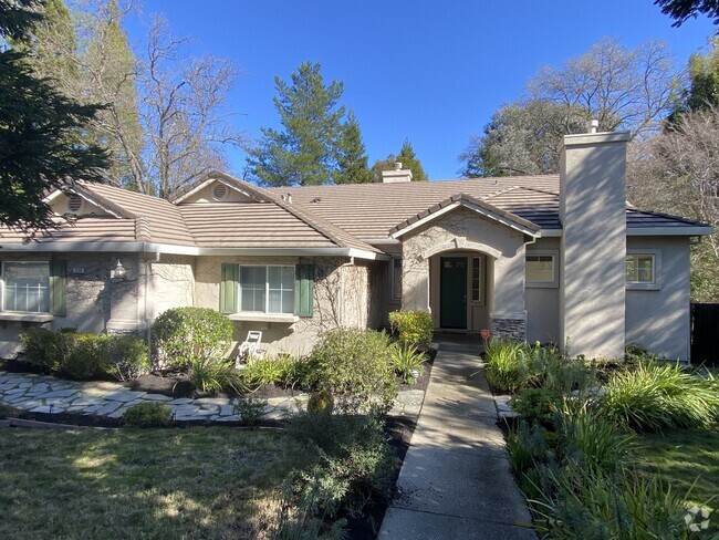
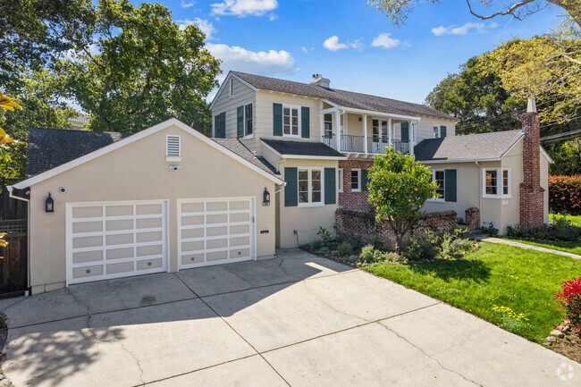
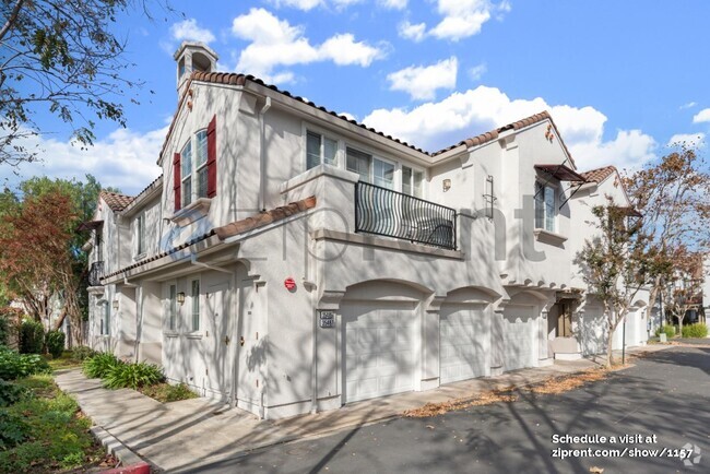
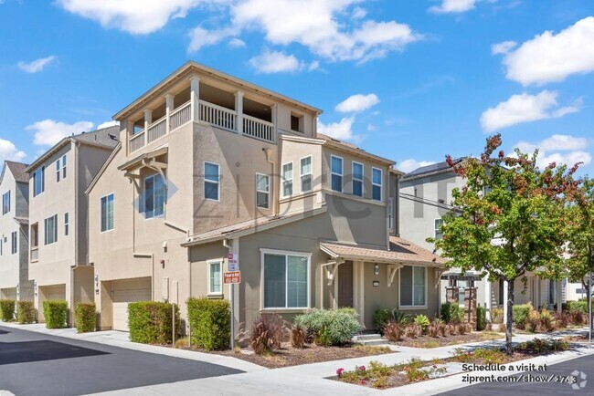
You May Also Like
Similar Rentals Nearby

What Are Walk Score®, Transit Score®, and Bike Score® Ratings?
Walk Score® measures the walkability of any address. Transit Score® measures access to public transit. Bike Score® measures the bikeability of any address.
What is a Sound Score Rating?
A Sound Score Rating aggregates noise caused by vehicle traffic, airplane traffic and local sources
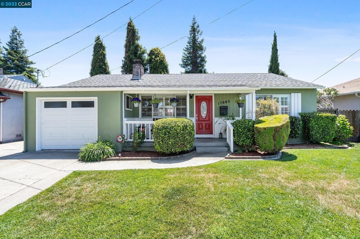
17665 Via Arroyo
San Lorenzo, CA 94580