$1,800
/ Month
171 Kearsing Pkwy Unit F
Monsey, NY 10952
2 Weeks Ago
|
Edit
Favorites
171 Kearsing Pkwy Unit F

Favorites
Check Back Soon for Upcoming Availability
| Beds | Baths | Average SF |
|---|---|---|
| 1 Bedroom 1 Bedroom 1 Br | 1 Bath 1 Bath 1 Ba | 860 SF |
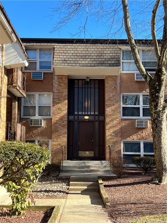
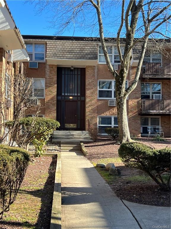
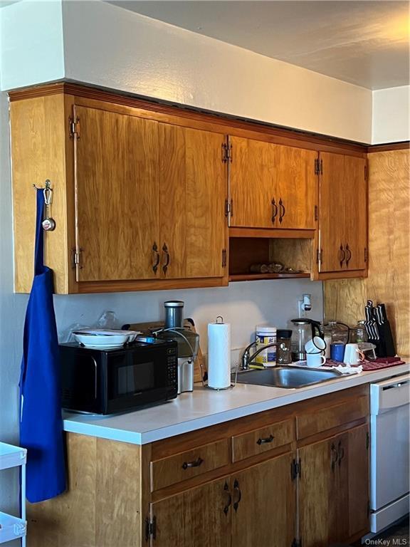
About This Property
One bedroom,one bath on the second floor apartment in Blueberry Hill Complex. Ample parking,extra storage in the basement. Private balcony. Based on information submitted to the MLS GRID as of [see last changed date above]. All data is obtained from various sources and may not have been verified by broker or MLS GRID. Supplied Open House Information is subject to change without notice. All information should be independently reviewed and verified for accuracy. Properties may or may not be listed by the office/agent presenting the information. Some IDX listings have been excluded from this website. Prices displayed on all Sold listings are the Last Known Listing Price and may not be the actual selling price.
171 Kearsing Pkwy is an apartment community located in Rockland County and the 10952 ZIP Code.
171 Kearsing Pkwy,
Monsey,
NY
10952
Education
| Colleges & Universities | Distance | ||
|---|---|---|---|
| Colleges & Universities | Distance | ||
| Drive: | 5 min | 1.9 mi | |
| Drive: | 15 min | 8.9 mi | |
| Drive: | 18 min | 10.1 mi | |
| Drive: | 18 min | 11.0 mi |
171 Kearsing Pkwy Unit F is within 5 minutes or 1.9 miles from SUNY Rockland. It is also near Ramapo College of New Jersey and Nyack College.
Walkability Near 171 Kearsing Pkwy Monsey, NY 10952
Getting Around
 What do Walkability, Transit, Drivability, and Bikeability mean?
Walkability measures the walking distance to day-to-day needs.
Transit measures access to public transportation.
Drivability measures congestion, parking availability, and access to major roads.
Bikeability measures the suitability for cycling.
How It Works
What do Walkability, Transit, Drivability, and Bikeability mean?
Walkability measures the walking distance to day-to-day needs.
Transit measures access to public transportation.
Drivability measures congestion, parking availability, and access to major roads.
Bikeability measures the suitability for cycling.
How It Works
Fairly Walkable
Walkability
50
/ 100
Limited Public Transit
Transit
30
/ 100
Moderately Drivable
Drivability
60
/ 100
Somewhat Bikeable
Bikeability
30
/ 100
Scores provided by
-
Soundscore™
-
/ 100
Traffic
-Airport
-Businesses
-Scores provided by
HowLoud What is a Sound Score Rating? A Sound Score Rating aggregates noise caused by vehicle traffic, airplane traffic and local sources. How It WorksYou May Also Like
Similar Rentals Nearby


What Are Walk Score®, Transit Score®, and Bike Score® Ratings?
Walk Score® measures the walkability of any address. Transit Score® measures access to public transit. Bike Score® measures the bikeability of any address.
What is a Sound Score Rating?
A Sound Score Rating aggregates noise caused by vehicle traffic, airplane traffic and local sources.

171 Kearsing Pkwy
Monsey, NY 10952