
The Equestrian At Pelham Parkway
1680 Pelham Pkwy S,
Bronx, NY 10461
$1,850 - $2,900
Studio - 2 Beds
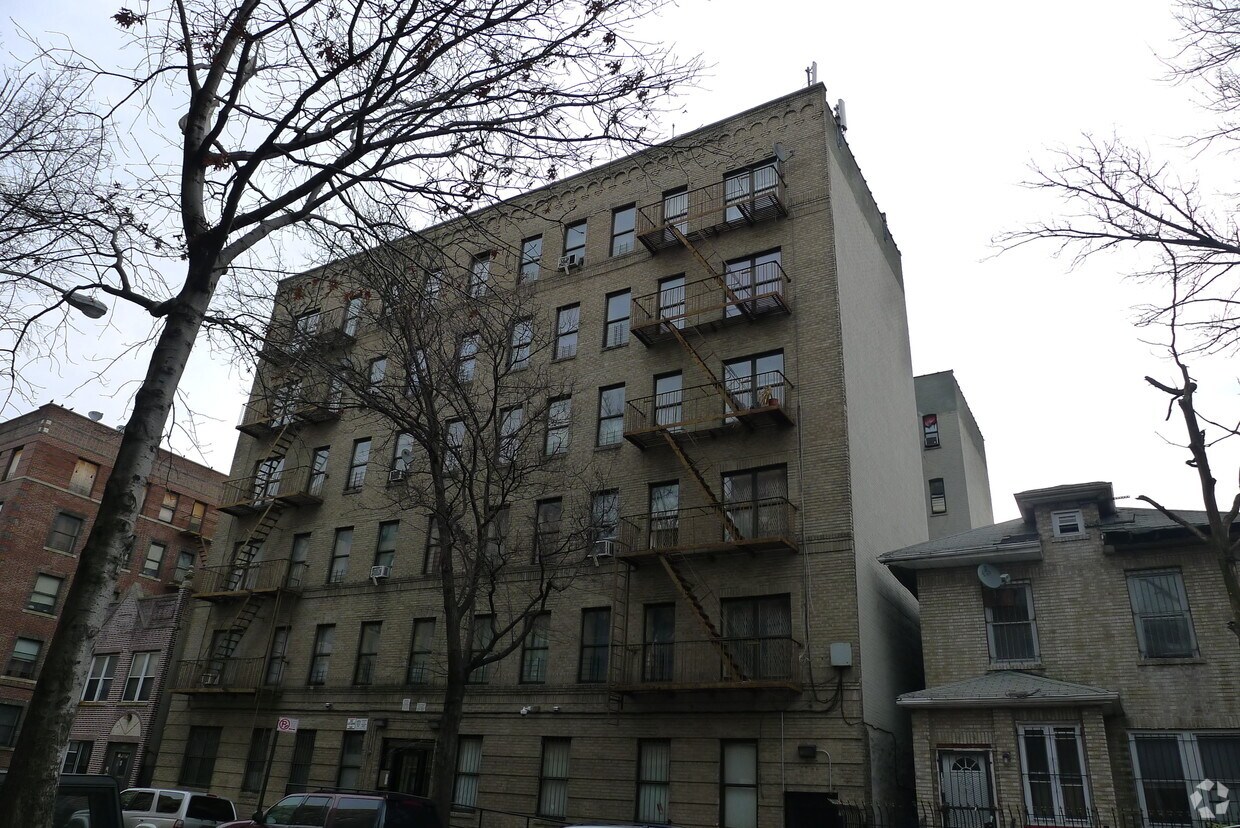
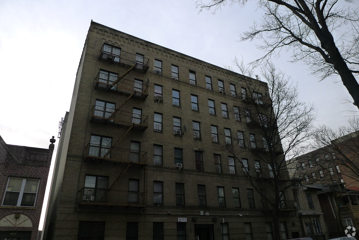
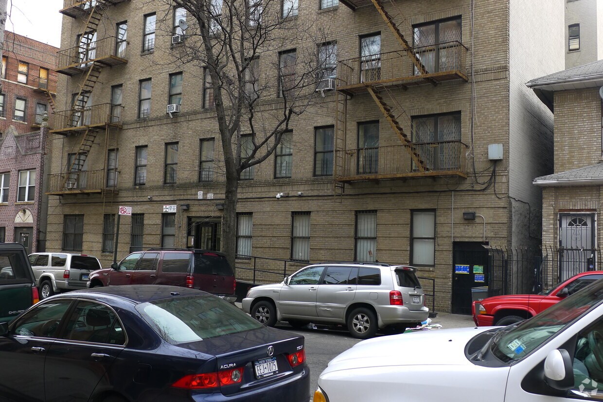
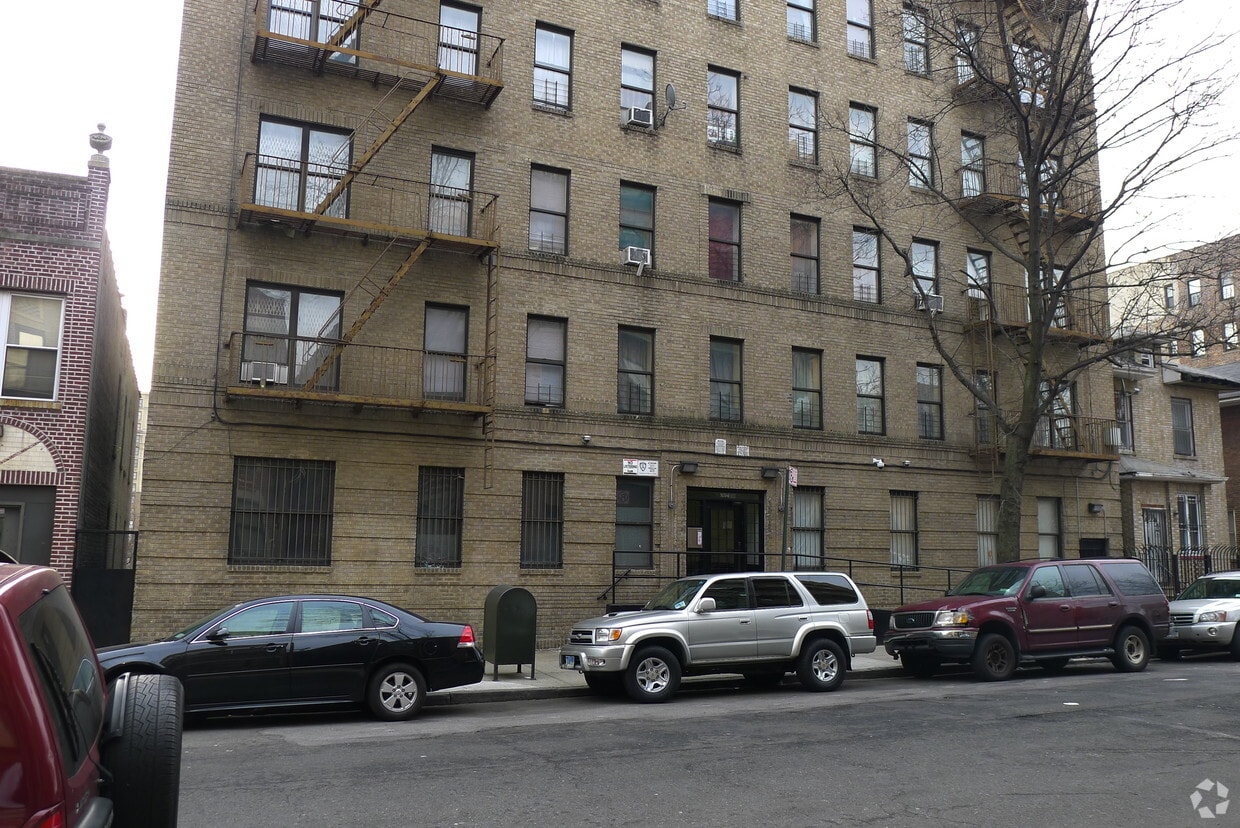
Find true Bronx living at 1694 Davidson Ave. Based in the 10453 area of Bronx on Davidson Ave, you have access to a mixture of great attractions nearby. From amenities to location, the professional leasing team will assist you in finding your new apartment. Come by to see the current floorplan options. Visit 1694 Davidson Ave today.
1694 Davidson Ave is an apartment community located in Bronx County and the 10453 ZIP Code. This area is served by the New York City Geographic District # 9 attendance zone.
Morris Heights is a lively neighborhood that sits on the western edge along the Harlem River. Known for its hilly terrain, it offers charming views and a sense of community that draws residents in. The area is peppered with green spaces like Morris Heights Playground and Featherbed Lane Playground, perfect for a leisurely stroll or a fun day out. This neighborhood has a rich history tied to the influential Morris family and even serves as the birthplace of hip-hop, adding a unique cultural vibe. Although the cost of living here is about 27 percent higher than the New York average, the energetic community and amenities make it an attractive place to call home.
Residents often find employment in nearby health institutions such as the Bronx-Lebanon Hospital Center and the James J. Peters VA Medical Center, though many also commute to Manhattan. The neighborhood is well-connected to the rest of the city, with several subway and bus lines making travel convenient.
Learn more about living in Morris HeightsCompare neighborhood and city base rent averages by bedroom.
| Morris Heights | Bronx, NY | |
|---|---|---|
| Studio | $2,086 | $1,616 |
| 1 Bedroom | $1,826 | $1,634 |
| 2 Bedrooms | $2,262 | $2,097 |
| 3 Bedrooms | $2,153 | $2,357 |
| Colleges & Universities | Distance | ||
|---|---|---|---|
| Colleges & Universities | Distance | ||
| Drive: | 4 min | 1.2 mi | |
| Drive: | 5 min | 1.5 mi | |
| Drive: | 4 min | 1.5 mi | |
| Drive: | 7 min | 2.5 mi |


Transportation options available in Bronx include 176 Street, located 0.2 mile from 1694 Davidson Ave. 1694 Davidson Ave is near LaGuardia, located 9.7 miles or 20 minutes away, and John F Kennedy International, located 20.1 miles or 29 minutes away.
| Transit / Subway | Distance | ||
|---|---|---|---|
| Transit / Subway | Distance | ||
|
|
Walk: | 3 min | 0.2 mi |
|
|
Walk: | 3 min | 0.2 mi |
|
|
Walk: | 5 min | 0.3 mi |
|
|
Walk: | 10 min | 0.6 mi |
|
|
Drive: | 4 min | 1.2 mi |
| Commuter Rail | Distance | ||
|---|---|---|---|
| Commuter Rail | Distance | ||
|
|
Walk: | 17 min | 0.9 mi |
|
|
Drive: | 5 min | 1.5 mi |
|
|
Drive: | 5 min | 1.5 mi |
| Drive: | 5 min | 2.2 mi | |
|
|
Drive: | 6 min | 2.8 mi |
| Airports | Distance | ||
|---|---|---|---|
| Airports | Distance | ||
|
LaGuardia
|
Drive: | 20 min | 9.7 mi |
|
John F Kennedy International
|
Drive: | 29 min | 20.1 mi |
Scores provided by
Traffic
-Airport
-Businesses
-Scores provided by
HowLoud What is a Sound Score Rating? A Sound Score Rating aggregates noise caused by vehicle traffic, airplane traffic and local sources. How It WorksTime and distance from 1694 Davidson Ave.
| Shopping Centers | Distance | ||
|---|---|---|---|
| Shopping Centers | Distance | ||
| Walk: | 13 min | 0.7 mi | |
| Drive: | 6 min | 2.0 mi | |
| Drive: | 7 min | 2.4 mi |
| Parks and Recreation | Distance | ||
|---|---|---|---|
| Parks and Recreation | Distance | ||
|
Claremont Park
|
Drive: | 4 min | 1.3 mi |
|
Roberto Clemente State Park
|
Drive: | 5 min | 1.6 mi |
|
Crotona Park
|
Drive: | 6 min | 2.3 mi |
|
Highbridge Park
|
Drive: | 9 min | 3.6 mi |
|
Sherman Creek and Swindler Cove
|
Drive: | 11 min | 4.3 mi |
| Hospitals | Distance | ||
|---|---|---|---|
| Hospitals | Distance | ||
| Drive: | 6 min | 2.0 mi | |
| Drive: | 7 min | 2.3 mi | |
| Drive: | 6 min | 2.6 mi |
| Military Bases | Distance | ||
|---|---|---|---|
| Military Bases | Distance | ||
| Drive: | 19 min | 10.5 mi | |
| Drive: | 31 min | 14.4 mi | |
| Drive: | 35 min | 22.7 mi |
What Are Walk Score®, Transit Score®, and Bike Score® Ratings?
Walk Score® measures the walkability of any address. Transit Score® measures access to public transit. Bike Score® measures the bikeability of any address.
What is a Sound Score Rating?
A Sound Score Rating aggregates noise caused by vehicle traffic, airplane traffic and local sources.


