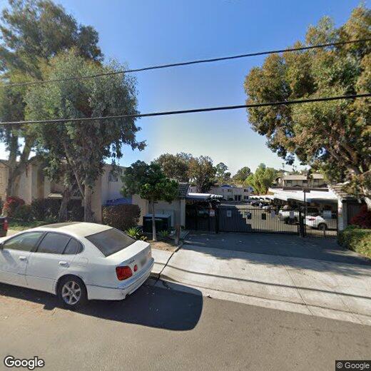
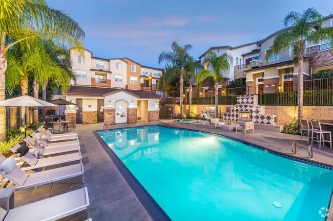
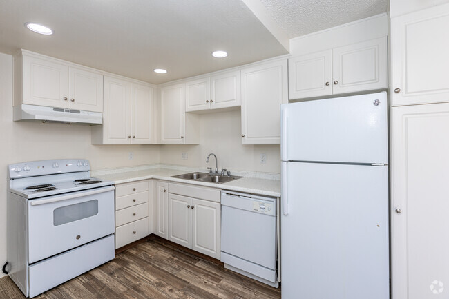
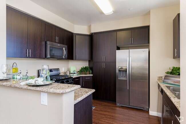
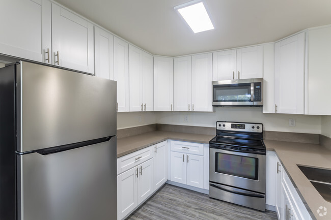
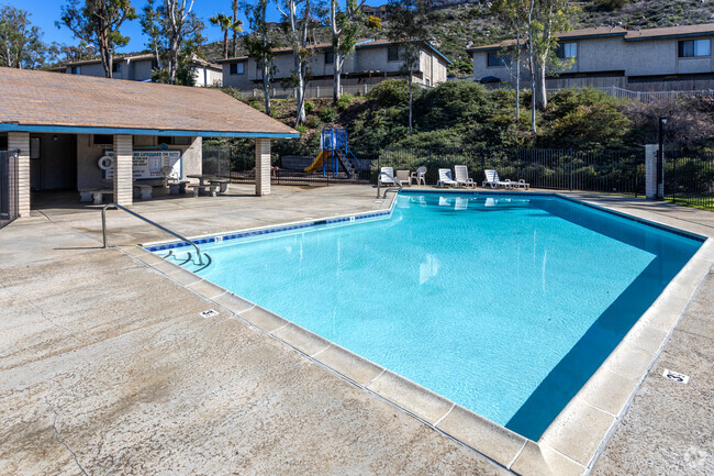
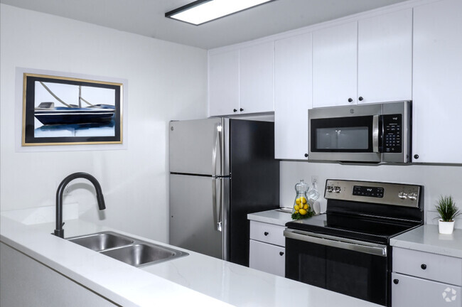
1604 Presioca St
1604 Presioca St
Spring Valley, CA 91977
2 Weeks Ago
Favorites
1604 Presioca St

Favorites
Check Back Soon for Upcoming Availability
Location
Get Directions
Nestled amid rolling hills about 11 miles east of Downtown San Diego, Spring Valley is the largest unincorporated community in San Diego County. Spring Valley’s housing options are just as diverse as the vibrant population, with plenty of apartments and townhomes for rent as well as houses on large swaths of land—for enjoying horses, livestock, and rural community life.
Spring Valley offers residents the convenience of suburban life, with close proximity to popular shopping centers like Rancho San Diego Towne Center, Spring Valley Swap Meet, and Grossmont Center. Convenience to the 94 and 125 freeways connects Spring Valley to the rest of San Diego County and beyond, affording many residents quick commutes and travels. Regularly scheduled community events at local parks also give Spring Valley a small-town flavor.
Learn more about living in Spring Valley
Education
| Colleges & Universities | Distance | ||
|---|---|---|---|
| Colleges & Universities | Distance | ||
| Drive: | 12 min | 6.0 mi | |
| Drive: | 18 min | 8.6 mi | |
| Drive: | 14 min | 9.1 mi | |
| Drive: | 21 min | 9.8 mi |
1604 Presioca St is within 12 minutes or 6.0 miles from Cuyamaca College. It is also near Southwestern Coll, Chula Vista and San Diego State University.
Transportation options available in Spring Valley include Massachusetts Avenue, located 3.0 miles from 1604 Presioca St. 1604 Presioca St is near San Diego International, located 15.7 miles or 23 minutes away.
| Transit / Subway | Distance | ||
|---|---|---|---|
| Transit / Subway | Distance | ||
|
|
Drive: | 8 min | 3.0 mi |
|
|
Drive: | 8 min | 3.5 mi |
|
|
Drive: | 9 min | 4.2 mi |
|
|
Drive: | 9 min | 4.6 mi |
|
|
Drive: | 9 min | 5.1 mi |
| Commuter Rail | Distance | ||
|---|---|---|---|
| Commuter Rail | Distance | ||
|
|
Drive: | 19 min | 13.3 mi |
|
|
Drive: | 22 min | 16.3 mi |
|
|
Drive: | 33 min | 24.7 mi |
|
|
Drive: | 41 min | 31.7 mi |
|
|
Drive: | 45 min | 35.3 mi |
| Airports | Distance | ||
|---|---|---|---|
| Airports | Distance | ||
|
San Diego International
|
Drive: | 23 min | 15.7 mi |
Time and distance from 1604 Presioca St.
| Shopping Centers | Distance | ||
|---|---|---|---|
| Shopping Centers | Distance | ||
| Walk: | 18 min | 1.0 mi | |
| Drive: | 4 min | 1.3 mi | |
| Drive: | 4 min | 1.5 mi |
1604 Presioca St has 3 shopping centers within 1.5 miles, which is about a 4-minute walk. The miles and minutes will be for the farthest away property.
| Parks and Recreation | Distance | ||
|---|---|---|---|
| Parks and Recreation | Distance | ||
|
Sweetwater Lane County Park
|
Walk: | 11 min | 0.6 mi |
|
Lamar County Park
|
Drive: | 8 min | 2.8 mi |
|
Sweetwater Regional Park
|
Drive: | 8 min | 4.0 mi |
|
Lonny Brewer County Park
|
Drive: | 11 min | 5.7 mi |
|
Eucalyptus County Park
|
Drive: | 10 min | 5.8 mi |
1604 Presioca St has 5 parks within 5.8 miles, including Sweetwater Lane County Park, Lamar County Park, and Sweetwater Regional Park.
| Hospitals | Distance | ||
|---|---|---|---|
| Hospitals | Distance | ||
| Drive: | 10 min | 6.3 mi | |
| Drive: | 13 min | 6.5 mi | |
| Drive: | 12 min | 7.0 mi |
1604 Presioca St has 3 hospitals within 7.0 miles, the nearest is Grossmont Hospital which is 6.3 miles away and a 10 minute drive.
| Military Bases | Distance | ||
|---|---|---|---|
| Military Bases | Distance | ||
| Drive: | 15 min | 10.2 mi | |
| Drive: | 26 min | 18.7 mi |
1604 Presioca St is 10.2 miles from San Diego Naval Air Station, and is convenient to other military bases, including US Naval Amphibious Base.
You May Also Like
Similar Rentals Nearby
What Are Walk Score®, Transit Score®, and Bike Score® Ratings?
Walk Score® measures the walkability of any address. Transit Score® measures access to public transit. Bike Score® measures the bikeability of any address.
What is a Sound Score Rating?
A Sound Score Rating aggregates noise caused by vehicle traffic, airplane traffic and local sources