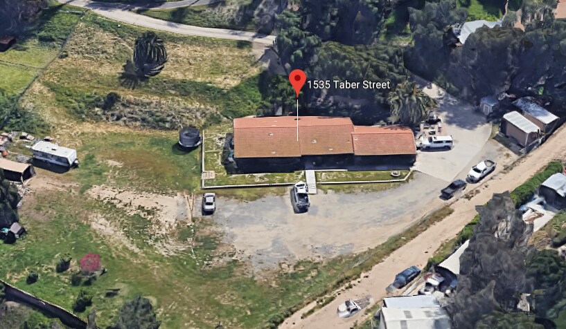

1535 Taber Street
1535 Taber Street
Corona, CA 92881
2 Weeks Ago
Favorites
1535 Taber Street

Favorites
Check Back Soon for Upcoming Availability
| Beds | Baths | Average SF |
|---|---|---|
| 1 Bedroom 1 Bedroom 1 Br | 1 Bath 1 Bath 1 Ba | — |
Location
Get Directions
Located between the Santa Ana Mountains, Chino Hills State Park, and Lake Mathews Estelle Mountain Reserve, Corona’s residents enjoy a diverse landscape that encompasses everything from abundant retail centers to unspoiled natural beauty. The city’s location offers easy access to both the Inland Empire and Orange County; this along with the abundance of attractive, Spanish-style homes and excellent public schools makes Corona a popular home base for many commuters. The cost of living is relatively low compared to other parts of SoCal, and rental rates for homes and apartments range from the high-end to the highly-affordable.
Corona is also known as the “Circle City”. The town is named for the three-mile circular layout found at Grand Boulevard. This circular hub houses several parks, a farmers market, local eateries, and the Corona Regional Medical Center. Grand Boulevard is one of several commercial hubs in Corona.
Learn more about living in Corona
Education
| Colleges & Universities | Distance | ||
|---|---|---|---|
| Colleges & Universities | Distance | ||
| Drive: | 13 min | 7.1 mi | |
| Drive: | 15 min | 8.1 mi | |
| Drive: | 19 min | 12.2 mi | |
| Drive: | 24 min | 16.0 mi |
1535 Taber Street is within 13 minutes or 7.1 miles from Norco College. It is also near La Sierra University and California Baptist University.
You May Also Like
Similar Rentals Nearby


What Are Walk Score®, Transit Score®, and Bike Score® Ratings?
Walk Score® measures the walkability of any address. Transit Score® measures access to public transit. Bike Score® measures the bikeability of any address.
What is a Sound Score Rating?
A Sound Score Rating aggregates noise caused by vehicle traffic, airplane traffic and local sources

1535 Taber Street
Corona, CA 92881