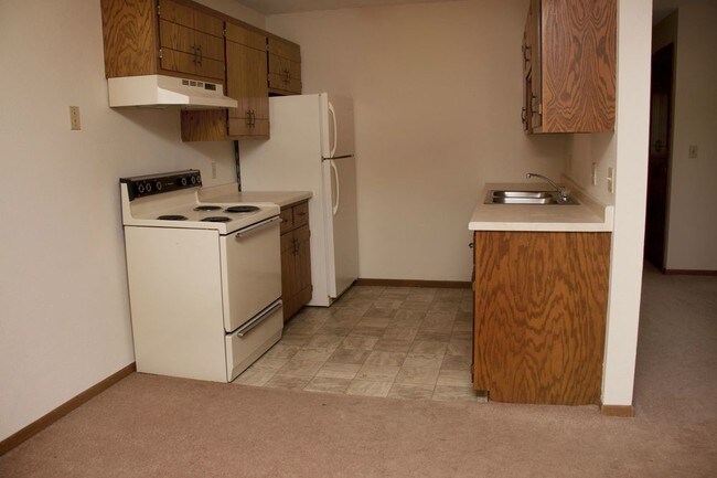
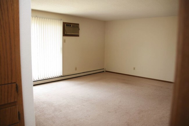


3 Beds, 2 Baths, 1,975 sq ft
$1,875
Total Monthly Price
12 Month Lease
Total Monthly Price
New
Prices include all required monthly fees.
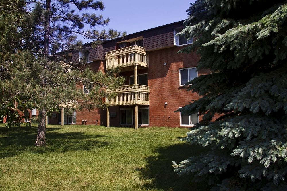
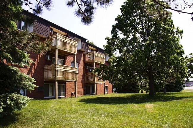
818 7th Ave N


