
Twelve31
1231 W Francisquito Ave,
West Covina, CA 91790
$2,200 - $2,785
1-2 Beds

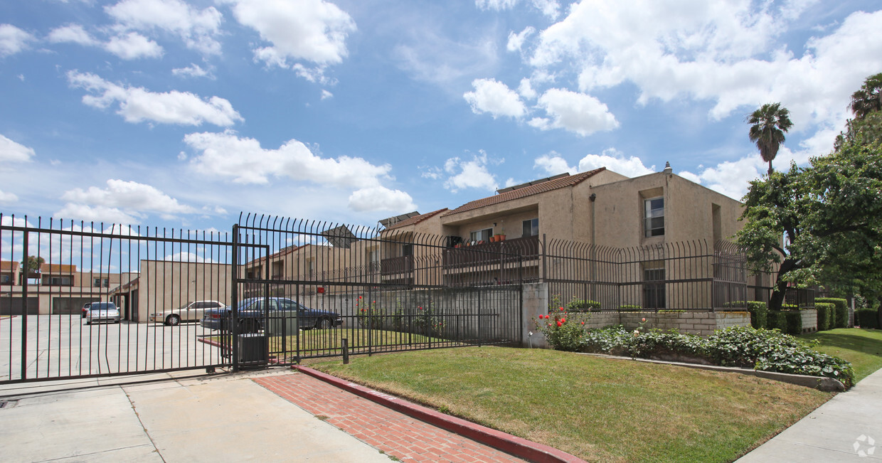
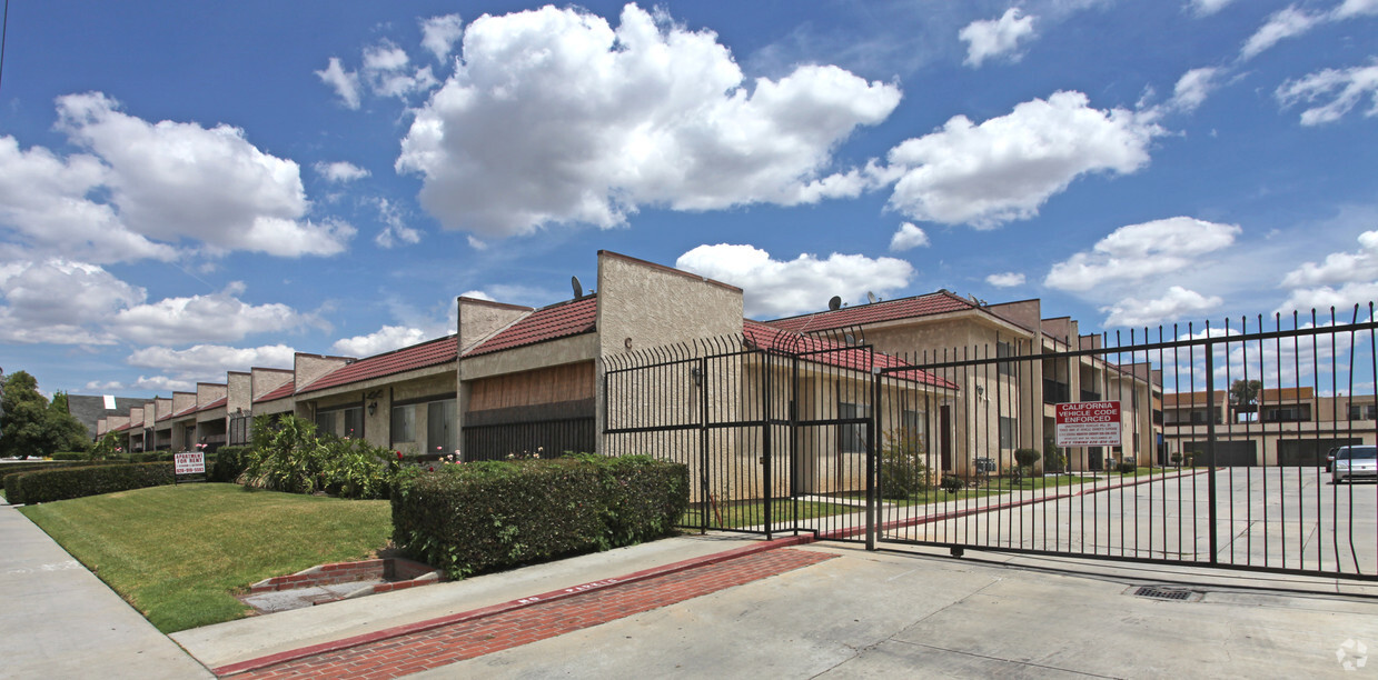
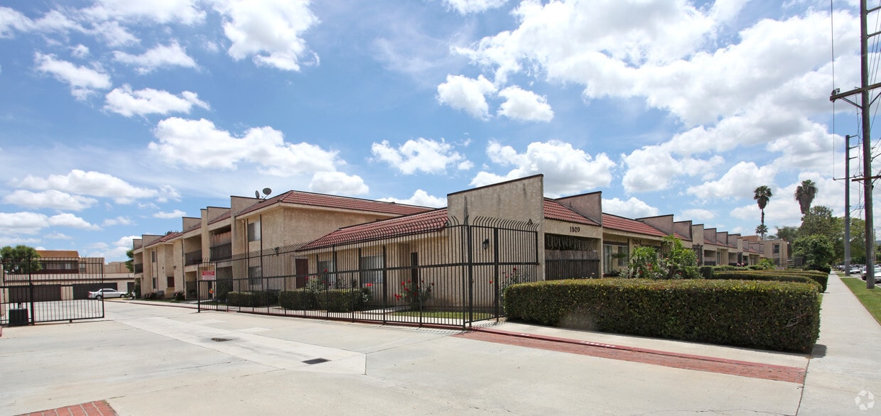
Discover your new place at 1520 California Ave. This property is situated in the 91744 area of La Puente. Let the professional leasing staff show you everything this community has to offer. Start living the good life at 1520 California Ave. Contact us or stop by the leasing office to discuss your new apartment.
1520 California Ave is an apartment community located in Los Angeles County and the 91744 ZIP Code. This area is served by the Hacienda La Puente Unified School District attendance zone.
High Speed Internet Access
Ceiling Fans
Smoke Free
Carpet
La Puente sits about 20 miles east of downtown Los Angeles in the San Gabriel Valley, where its name — Spanish for "The Bridge" — quietly nods to a history stretching back to the 1769 Portolá expedition. The city covers just four square miles but packs in a densely settled, close-knit atmosphere shaped by deep roots and a strong sense of place. Positioned near West Covina to the north and Hacienda Heights to the south, La Puente offers easy access to the broader Los Angeles metro while maintaining a distinctly suburban character. East Los Angeles College serves students throughout the region, reinforcing the area's connection to higher education.
The housing stock here leans toward single-family homes and smaller apartment communities, with a mix of older ranch-style residences and low-rise rentals spread across tree-lined streets.
Learn more about living in La PuenteCompare neighborhood and city base rent averages by bedroom.
| San Gabriel Valley | La Puente, CA | |
|---|---|---|
| Studio | $1,675 | $1,434 |
| 1 Bedroom | $1,875 | $1,616 |
| 2 Bedrooms | $2,240 | $1,821 |
| 3 Bedrooms | $2,704 | $1,938 |
| Colleges & Universities | Distance | ||
|---|---|---|---|
| Colleges & Universities | Distance | ||
| Drive: | 13 min | 7.6 mi | |
| Drive: | 13 min | 7.9 mi | |
| Drive: | 15 min | 8.8 mi | |
| Drive: | 18 min | 9.7 mi |


Transportation options available in La Puente include Irwindale Station, located 6.0 miles from 1520 California Ave. 1520 California Ave is near Ontario International, located 22.6 miles or 30 minutes away, and Long Beach (Daugherty Field), located 26.6 miles or 37 minutes away.
| Transit / Subway | Distance | ||
|---|---|---|---|
| Transit / Subway | Distance | ||
| Drive: | 11 min | 6.0 mi | |
| Drive: | 13 min | 8.0 mi | |
| Drive: | 17 min | 9.1 mi | |
| Drive: | 15 min | 9.2 mi | |
| Drive: | 17 min | 10.7 mi |
| Commuter Rail | Distance | ||
|---|---|---|---|
| Commuter Rail | Distance | ||
|
|
Drive: | 8 min | 3.5 mi |
|
|
Drive: | 10 min | 6.1 mi |
|
|
Drive: | 12 min | 6.4 mi |
|
|
Drive: | 16 min | 8.7 mi |
|
|
Drive: | 21 min | 13.6 mi |
| Airports | Distance | ||
|---|---|---|---|
| Airports | Distance | ||
|
Ontario International
|
Drive: | 30 min | 22.6 mi |
|
Long Beach (Daugherty Field)
|
Drive: | 37 min | 26.6 mi |
Scores provided by
Traffic
-Airport
-Businesses
-Scores provided by
HowLoud What is a Sound Score Rating? A Sound Score Rating aggregates noise caused by vehicle traffic, airplane traffic and local sources. How It WorksTime and distance from 1520 California Ave.
| Shopping Centers | Distance | ||
|---|---|---|---|
| Shopping Centers | Distance | ||
| Walk: | 5 min | 0.3 mi | |
| Walk: | 8 min | 0.4 mi | |
| Walk: | 10 min | 0.5 mi |
| Parks and Recreation | Distance | ||
|---|---|---|---|
| Parks and Recreation | Distance | ||
|
Galster Wilderness Park Nature Center
|
Drive: | 9 min | 3.4 mi |
|
Covina Park
|
Drive: | 9 min | 5.4 mi |
|
Santa Fe Dam Recreation Area
|
Drive: | 18 min | 6.9 mi |
|
Santa Fe Dam Nature Center
|
Drive: | 18 min | 6.9 mi |
|
Schabarum Regional Park
|
Drive: | 14 min | 7.1 mi |
| Hospitals | Distance | ||
|---|---|---|---|
| Hospitals | Distance | ||
| Drive: | 4 min | 2.0 mi | |
| Drive: | 6 min | 3.2 mi | |
| Drive: | 9 min | 5.7 mi |
| Military Bases | Distance | ||
|---|---|---|---|
| Military Bases | Distance | ||
| Drive: | 37 min | 21.0 mi | |
| Drive: | 42 min | 33.1 mi | |
| Drive: | 52 min | 36.5 mi |
Pets Allowed Fitness Center Pool In Unit Washer & Dryer Clubhouse Balcony
Pets Allowed Fitness Center Pool Dishwasher Refrigerator Kitchen
What Are Walk Score®, Transit Score®, and Bike Score® Ratings?
Walk Score® measures the walkability of any address. Transit Score® measures access to public transit. Bike Score® measures the bikeability of any address.
What is a Sound Score Rating?
A Sound Score Rating aggregates noise caused by vehicle traffic, airplane traffic and local sources.
1520 California Ave
La Puente, CA 91744


 - Violet on Virgil")