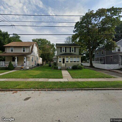

15 N Llanwellyn Ave
15 N Llanwellyn Ave
Glenolden, PA 19036
2 Weeks Ago
Favorites
15 N Llanwellyn Ave

Favorites
Check Back Soon for Upcoming Availability
| Beds | Baths | Average SF |
|---|---|---|
| 1 Bedroom 1 Bedroom 1 Br | 1 Bath 1 Bath 1 Ba | — |
Location
Get Directions
Glenolden is a borough in Delaware County that was incorporated in 1894. What began as a two-street settlement quickly grew into a residential area with booming businesses and a train station. Glenolden Station’s provider is Southeastern Pennsylvania Transportation Authority (SEPTA), which provides southbound services to Wilmington and Newark, and northbound services to Philadelphia.
Not far from Glenolden is the Philadelphia International Airport. Shopping and dining options can be found at MacDade Mall. Take a stroll through Glenolden Park, where you can rest under a towering collection of oaks that overlook Muckinipattis Creek, or take the kids to play at the playground for the afternoon.
Learn more about living in Glenolden
Education
| Colleges & Universities | Distance | ||
|---|---|---|---|
| Colleges & Universities | Distance | ||
| Drive: | 11 min | 4.7 mi | |
| Drive: | 11 min | 5.1 mi | |
| Drive: | 15 min | 6.0 mi | |
| Drive: | 16 min | 6.4 mi |
15 N Llanwellyn Ave is within 11 minutes or 4.7 miles from Swarthmore College. It is also near Widener University and University of the Sciences.
Transportation options available in Glenolden include Sharon Hill, located 0.7 mile from 15 N Llanwellyn Ave. 15 N Llanwellyn Ave is near Philadelphia International, located 6.3 miles or 13 minutes away.
| Transit / Subway | Distance | ||
|---|---|---|---|
| Transit / Subway | Distance | ||
|
|
Walk: | 14 min | 0.7 mi |
|
|
Walk: | 15 min | 0.8 mi |
|
|
Walk: | 16 min | 0.9 mi |
|
|
Drive: | 4 min | 1.3 mi |
|
|
Drive: | 5 min | 1.7 mi |
| Commuter Rail | Distance | ||
|---|---|---|---|
| Commuter Rail | Distance | ||
| Walk: | 13 min | 0.7 mi | |
| Walk: | 13 min | 0.7 mi | |
| Drive: | 4 min | 1.3 mi | |
| Drive: | 4 min | 1.7 mi | |
| Drive: | 5 min | 1.7 mi |
| Airports | Distance | ||
|---|---|---|---|
| Airports | Distance | ||
|
Philadelphia International
|
Drive: | 13 min | 6.3 mi |
Time and distance from 15 N Llanwellyn Ave.
| Shopping Centers | Distance | ||
|---|---|---|---|
| Shopping Centers | Distance | ||
| Walk: | 10 min | 0.5 mi | |
| Walk: | 10 min | 0.5 mi | |
| Walk: | 11 min | 0.6 mi |
15 N Llanwellyn Ave has 3 shopping centers within 0.6 mile, which is about a 11-minute walk. The miles and minutes will be for the farthest away property.
| Parks and Recreation | Distance | ||
|---|---|---|---|
| Parks and Recreation | Distance | ||
|
John Heinz National Wildlife Refuge
|
Drive: | 6 min | 2.7 mi |
|
Scott Arboretum
|
Drive: | 13 min | 4.8 mi |
|
Cobbs Creek Environmental Education Center
|
Drive: | 14 min | 5.4 mi |
|
Bartram's Garden
|
Drive: | 14 min | 6.0 mi |
|
Cobbs Creek Park
|
Drive: | 16 min | 6.3 mi |
15 N Llanwellyn Ave has 5 parks within 6.3 miles, including John Heinz National Wildlife Refuge, Scott Arboretum, and Cobbs Creek Environmental Education Center.
| Hospitals | Distance | ||
|---|---|---|---|
| Hospitals | Distance | ||
| Drive: | 6 min | 2.4 mi | |
| Drive: | 14 min | 4.8 mi | |
| Drive: | 18 min | 7.3 mi |
15 N Llanwellyn Ave has 3 hospitals within 7.3 miles, the nearest is Mercy Catholic Medical Center - Mercy Fitzgerald which is 2.4 miles away and a 6 minute drive.
| Military Bases | Distance | ||
|---|---|---|---|
| Military Bases | Distance | ||
| Drive: | 18 min | 8.6 mi |
15 N Llanwellyn Ave is 8.6 miles and a 18 minute drive from Philadelphia Naval Busi Center.
You May Also Like
Similar Rentals Nearby


What Are Walk Score®, Transit Score®, and Bike Score® Ratings?
Walk Score® measures the walkability of any address. Transit Score® measures access to public transit. Bike Score® measures the bikeability of any address.
What is a Sound Score Rating?
A Sound Score Rating aggregates noise caused by vehicle traffic, airplane traffic and local sources

15 N Llanwellyn Ave
Glenolden, PA 19036