
The Station Apartments
5959 Broadway,
Bronx, NY 10463
$1,750 - $2,300
Studio - 1 Bed

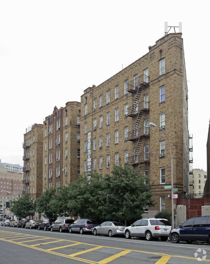
Discover your new place at 1460 Macombs Rd in Bronx, NY. This community is located in the 10452 area of Bronx. A collection of amenities are waiting for you here. Some of these include: hardwood floors, smoke-free options, and high-speed internet access. The leasing staff will assist you in finding the best floor plan for your lifestyle. Your new home awaits you at 1460 Macombs Rd. Contact us or stop by the leasing office to discuss your new apartment.
1460 Macombs Rd is an apartment community located in Bronx County and the 10452 ZIP Code. This area is served by the New York City Geographic District # 9 attendance zone.
Air Conditioning
High Speed Internet Access
Hardwood Floors
Tub/Shower
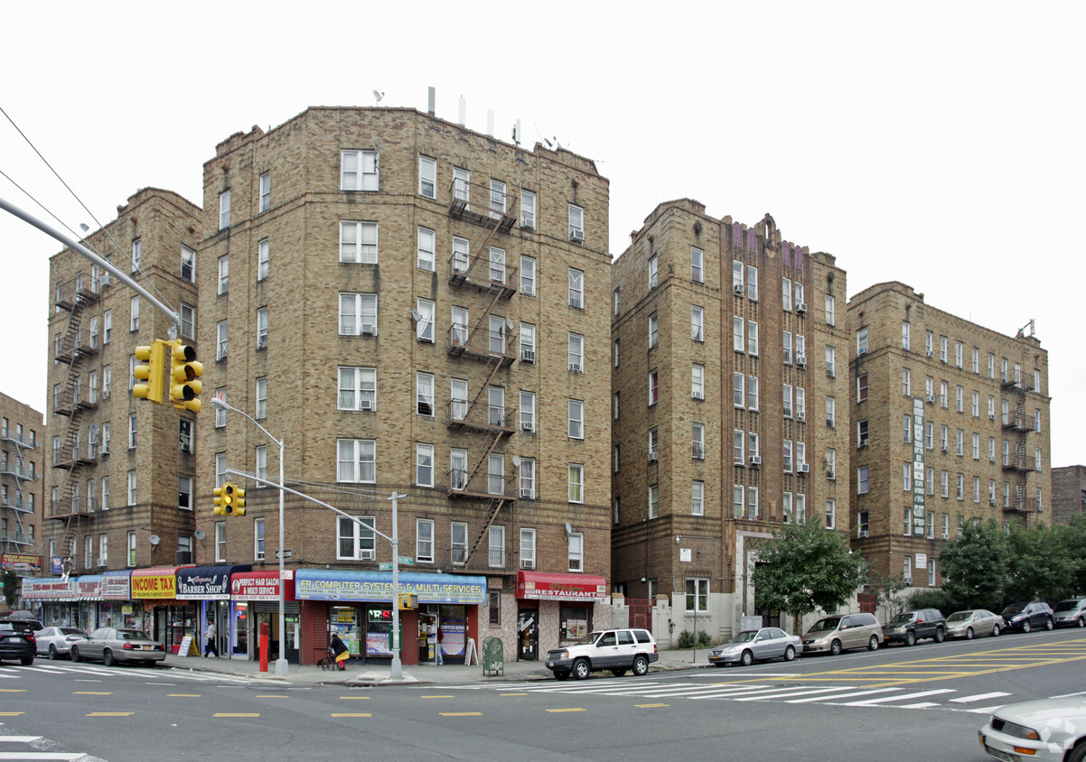
Located between Yankee Stadium and Interstate 95, Mount Eden is an affordable neighborhood in the West Bronx. Jerome Avenue and 170th Street are the neighborhood’s main commercial thoroughfares, offering an array of convenient shops, restaurants, markets, and banks in a walkable locale.
Outside of the main commercial thoroughfares, Mount Eden is largely residential. Locals enjoy a broad range of apartments and condos available for rent, in addition to a strong sense of community fostered by the New Settlement Community Center, which boasts great recreational facilities and various classes and programs. Commuting from Mount Eden is a breeze with direct access to I-95 and the 4, B, and D Trains.
Learn more about living in Mount EdenCompare neighborhood and city base rent averages by bedroom.
| Mount Eden | Bronx, NY | |
|---|---|---|
| Studio | $954 | $1,613 |
| 1 Bedroom | $1,576 | $1,636 |
| 2 Bedrooms | $1,727 | $2,098 |
| 3 Bedrooms | $1,407 | $2,358 |
| Colleges & Universities | Distance | ||
|---|---|---|---|
| Colleges & Universities | Distance | ||
| Drive: | 4 min | 1.5 mi | |
| Drive: | 4 min | 1.6 mi | |
| Drive: | 5 min | 1.9 mi | |
| Drive: | 5 min | 2.0 mi |


Transportation options available in Bronx include 170 Street (4 Line), located 0.1 mile from 1460 Macombs Rd. 1460 Macombs Rd is near LaGuardia, located 8.8 miles or 17 minutes away, and John F Kennedy International, located 19.7 miles or 28 minutes away.
| Transit / Subway | Distance | ||
|---|---|---|---|
| Transit / Subway | Distance | ||
|
|
Walk: | 2 min | 0.1 mi |
|
|
Walk: | 5 min | 0.3 mi |
|
|
Walk: | 7 min | 0.4 mi |
|
|
Walk: | 9 min | 0.5 mi |
|
|
Walk: | 11 min | 0.6 mi |
| Commuter Rail | Distance | ||
|---|---|---|---|
| Commuter Rail | Distance | ||
|
|
Drive: | 3 min | 1.3 mi |
|
|
Drive: | 4 min | 1.7 mi |
|
|
Drive: | 5 min | 1.7 mi |
| Drive: | 4 min | 1.9 mi | |
|
|
Drive: | 6 min | 3.2 mi |
| Airports | Distance | ||
|---|---|---|---|
| Airports | Distance | ||
|
LaGuardia
|
Drive: | 17 min | 8.8 mi |
|
John F Kennedy International
|
Drive: | 28 min | 19.7 mi |
Scores provided by
Traffic
BusyAirport
CalmBusinesses
BusyScores provided by
HowLoud What is a Sound Score Rating? A Sound Score Rating aggregates noise caused by vehicle traffic, airplane traffic and local sources. How It WorksTime and distance from 1460 Macombs Rd.
| Shopping Centers | Distance | ||
|---|---|---|---|
| Shopping Centers | Distance | ||
| Drive: | 3 min | 1.1 mi | |
| Drive: | 5 min | 1.5 mi | |
| Drive: | 4 min | 1.6 mi |
| Parks and Recreation | Distance | ||
|---|---|---|---|
| Parks and Recreation | Distance | ||
|
Claremont Park
|
Walk: | 14 min | 0.7 mi |
|
Joyce Kilmer Park
|
Drive: | 3 min | 1.1 mi |
|
Roberto Clemente State Park
|
Drive: | 6 min | 1.8 mi |
|
Crotona Park
|
Drive: | 5 min | 1.9 mi |
|
Highbridge Park
|
Drive: | 9 min | 3.9 mi |
| Hospitals | Distance | ||
|---|---|---|---|
| Hospitals | Distance | ||
| Drive: | 5 min | 1.8 mi | |
| Drive: | 6 min | 2.2 mi | |
| Drive: | 6 min | 2.4 mi |
| Military Bases | Distance | ||
|---|---|---|---|
| Military Bases | Distance | ||
| Drive: | 18 min | 10.1 mi | |
| Drive: | 29 min | 14.8 mi | |
| Drive: | 34 min | 22.4 mi |
What Are Walk Score®, Transit Score®, and Bike Score® Ratings?
Walk Score® measures the walkability of any address. Transit Score® measures access to public transit. Bike Score® measures the bikeability of any address.
What is a Sound Score Rating?
A Sound Score Rating aggregates noise caused by vehicle traffic, airplane traffic and local sources.
1460 Macombs Rd
Bronx, NY 10452


