$7,800 / Month
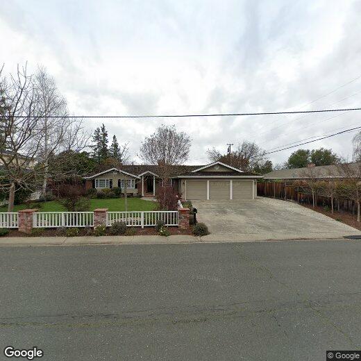
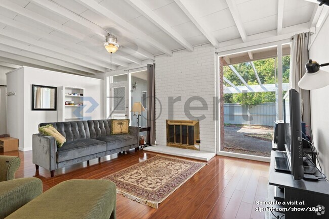
1457 Ranchita Dr
Los Altos, CA 94024
2 Weeks Ago
Favorites
1457 Ranchita Dr

Favorites
Check Back Soon for Upcoming Availability
| Beds | Baths | Average SF |
|---|---|---|
| 3 Bedrooms 3 Bedrooms 3 Br | 2 Baths 2 Baths 2 Ba | 1,741 SF |
Fees and Policies
The fees below are based on community-supplied data and may exclude additional fees and utilities.
1457 Ranchita Dr is a house located in Santa Clara County and the 94024 ZIP Code. This area is served by the Los Altos Elementary attendance zone.
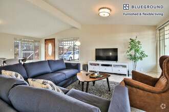
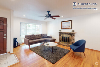
House Features
- Fireplace
Location
Get Directions
Los Altos likes to strike a balance between the urbanized atmosphere of the Bay Area and the more rural environment of the wide-open spaces bordering the city’s southwest side. While it is mainly a residential community, the downtown area surrounding Main Street is a walkable shopping and dining district with tree-lined streets and several public parks nearby. The crime rate is quite low and the local schools are among the highest-performing in the state. Palo Alto is right next door and San Jose just a few minutes down the road, giving Los Altos residents convenient access to Silicon Valley’s greatest amenities.
Learn more about living in Los AltosBelow are rent ranges for similar nearby apartments
Amenities
- Fireplace
Education
| Colleges & Universities | Distance | ||
|---|---|---|---|
| Colleges & Universities | Distance | ||
| Drive: | 8 min | 3.7 mi | |
| Drive: | 10 min | 4.2 mi | |
| Drive: | 13 min | 7.3 mi | |
| Drive: | 18 min | 8.5 mi |
1457 Ranchita Dr is within 8 minutes or 3.7 miles from De Anza College. It is also near Foothill Coll., Los Altos and Foothill College, Middlefield.
Schools

Public Elementary School
Grades K-5
367 Students
Nearby
Public Elementary School
Grades K-6
332 Students
Attendance Zone
Public Middle School
Grades 7-8
416 Students
Attendance Zone
Public High School
Grades 9-12
2,220 Students
Attendance Zone
Private Elementary & Middle School
Grades PK-8
114 Students
Nearby
Private Elementary & Middle School
Grades PK-8
500 Students
Nearby
Private High School
Grades 9-12
1,776 Students
Nearby
School data provided by
 The GreatSchools Rating helps parents compare schools within a state based on a variety of school quality indicators and provides a helpful picture of how effectively each school serves all of its students. Ratings are on a scale of 1 (below average) to 10 (above average) and can include test scores, college readiness, academic progress, advanced courses, equity, discipline and attendance data. We also advise parents to visit schools, consider other information on school performance and programs, and consider family needs as part of the school selection process.
View GreatSchools Rating Methodology
View GreatSchools Rating Methodology
Transportation options available in Los Altos include Whisman Station, located 4.4 miles from 1457 Ranchita Dr. 1457 Ranchita Dr is near Norman Y Mineta San Jose International, located 8.4 miles or 19 minutes away, and San Francisco International, located 29.2 miles or 38 minutes away.
| Transit / Subway | Distance | ||
|---|---|---|---|
| Transit / Subway | Distance | ||
|
|
Drive: | 9 min | 4.4 mi |
|
|
Drive: | 8 min | 4.4 mi |
|
|
Drive: | 9 min | 4.7 mi |
|
Bayshore/Nasa Station
|
Drive: | 10 min | 6.0 mi |
|
|
Drive: | 11 min | 6.4 mi |
| Commuter Rail | Distance | ||
|---|---|---|---|
| Commuter Rail | Distance | ||
| Drive: | 8 min | 4.2 mi | |
| Drive: | 10 min | 4.4 mi | |
| Drive: | 12 min | 5.6 mi | |
| Drive: | 13 min | 6.2 mi | |
| Drive: | 17 min | 10.8 mi |
| Airports | Distance | ||
|---|---|---|---|
| Airports | Distance | ||
|
Norman Y Mineta San Jose International
|
Drive: | 19 min | 8.4 mi |
|
San Francisco International
|
Drive: | 38 min | 29.2 mi |
Time and distance from 1457 Ranchita Dr.
| Shopping Centers | Distance | ||
|---|---|---|---|
| Shopping Centers | Distance | ||
| Drive: | 4 min | 1.5 mi | |
| Drive: | 4 min | 1.6 mi | |
| Drive: | 5 min | 1.9 mi |
1457 Ranchita Dr has 3 shopping centers within 1.9 miles, which is about a 5-minute drive. The miles and minutes will be for the farthest away property.
| Parks and Recreation | Distance | ||
|---|---|---|---|
| Parks and Recreation | Distance | ||
|
Deer Hollow Farm
|
Drive: | 9 min | 3.4 mi |
|
Rancho San Antonio County Park
|
Drive: | 10 min | 3.5 mi |
|
Redwood Grove
|
Drive: | 9 min | 3.6 mi |
|
Fujitsu Planetarium
|
Drive: | 8 min | 3.7 mi |
|
McClellan Ranch Park
|
Drive: | 10 min | 3.8 mi |
1457 Ranchita Dr has 5 parks within 3.8 miles, including Deer Hollow Farm, Rancho San Antonio County Park, and Redwood Grove.
| Hospitals | Distance | ||
|---|---|---|---|
| Hospitals | Distance | ||
| Drive: | 4 min | 1.4 mi | |
| Drive: | 11 min | 5.2 mi | |
| Drive: | 11 min | 5.5 mi |
1457 Ranchita Dr has 3 hospitals within 5.5 miles, the nearest is El Camino Hospital which is 1.4 miles away and a 4 minute drive.
| Military Bases | Distance | ||
|---|---|---|---|
| Military Bases | Distance | ||
| Drive: | 12 min | 6.1 mi |
1457 Ranchita Dr is 6.1 miles and a 12 minute drive from Ames Research Center.
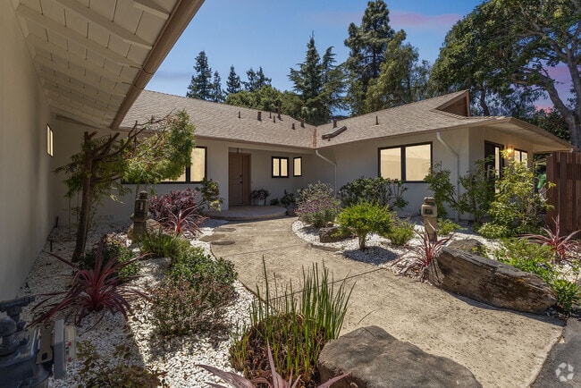
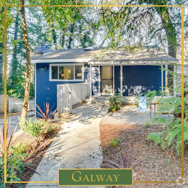
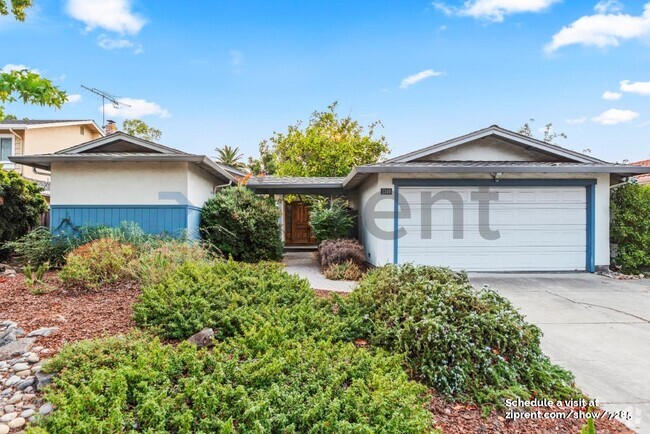
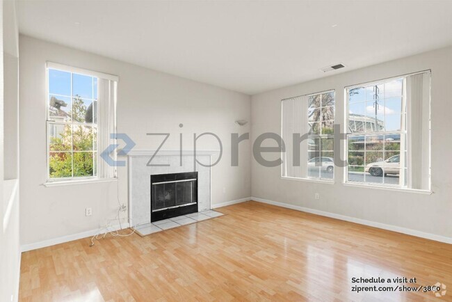
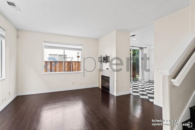
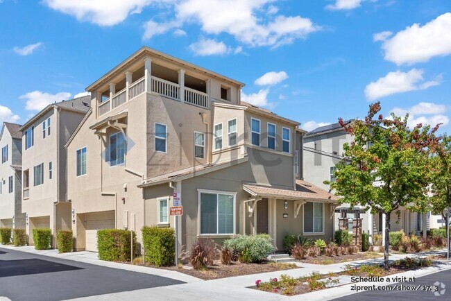
You May Also Like
Similar Rentals Nearby
What Are Walk Score®, Transit Score®, and Bike Score® Ratings?
Walk Score® measures the walkability of any address. Transit Score® measures access to public transit. Bike Score® measures the bikeability of any address.
What is a Sound Score Rating?
A Sound Score Rating aggregates noise caused by vehicle traffic, airplane traffic and local sources

1457 Ranchita Dr
Los Altos, CA 94024