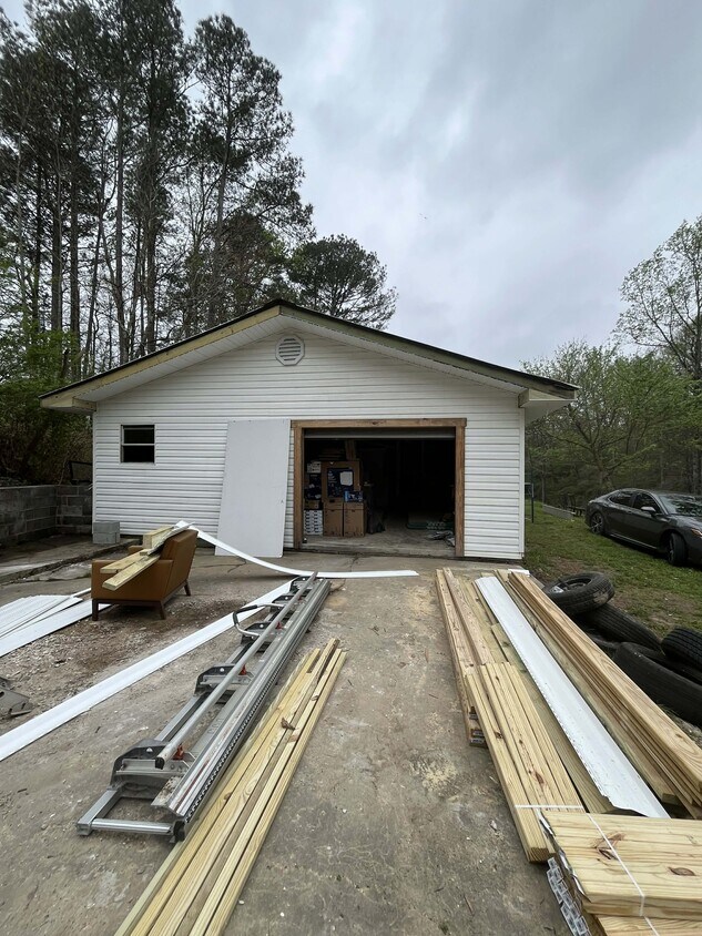
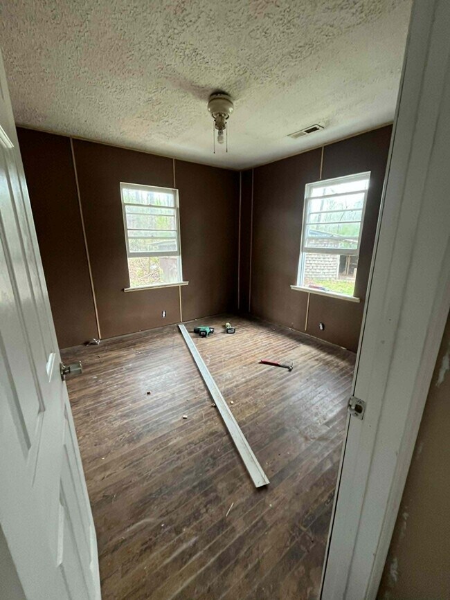


3 Beds, 2 Baths, 1,400 sq ft
$2,300
Total Monthly Price
2 Month Lease
Total Monthly Price
New
Prices include all required monthly fees.
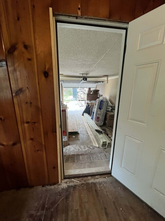
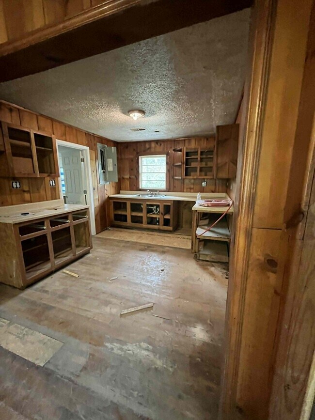
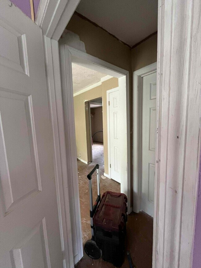
2406 Crockett Cir