
Kinect at Southport
2301 Jefferson Blvd,
Sacramento, CA 95691
$1,550 - $3,049
Studio - 3 Beds
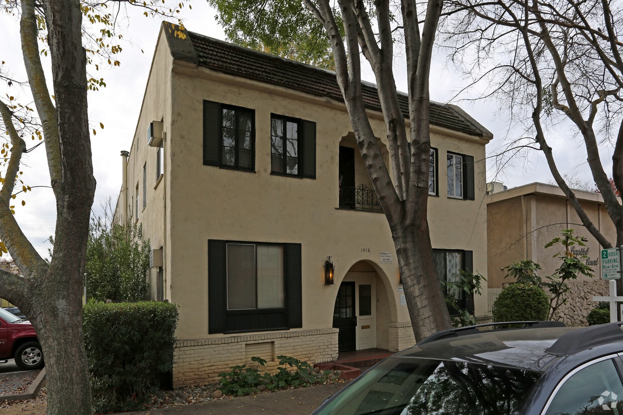
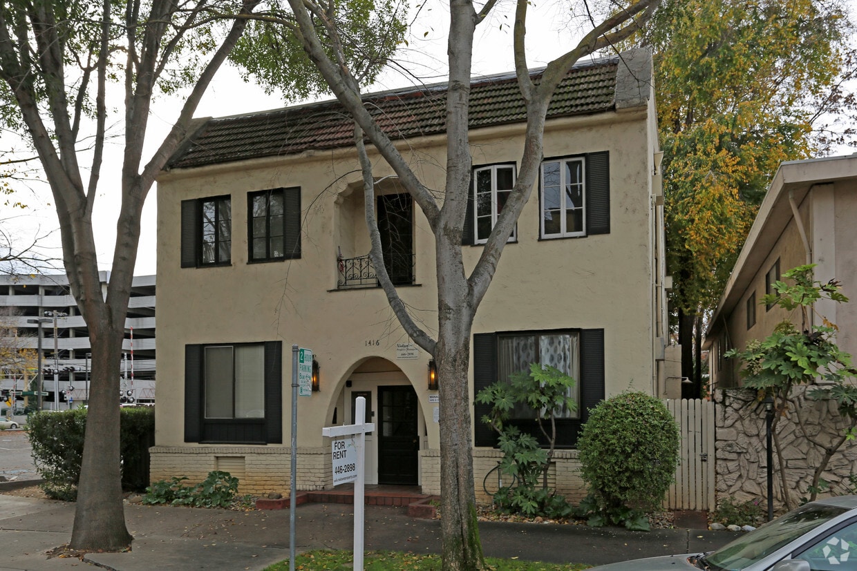

Discover 1416 Q St. The Q St. address in the 95811 Zip code of Sacramento is a great place for you to move to. From pricing to features, the professional leasing staff will assist you in finding the perfect place to live. Come by to view the available floorplans. Welcome home to 1416 Q St. Stop by the leasing office to schedule your tour.
1416 Q St is an apartment community located in Sacramento County and the 95811 ZIP Code. This area is served by the Sacramento City Unified School District attendance zone.
A quaint community nearing Downtown and Midtown Sacramento, Richmond Grove is home to an array of small businesses, ranging from breweries and restaurants to markets and specialty shops. Locals can be found grabbing a meal at Hook & Ladder, enjoying a brew at Device Brewing Company, ordering at Ernesto’s Mexican Food, or getting a bite to eat at Ryujin Ramen House.
The nightlife scene is as good as the cuisine in Richmond Grove. Enjoy a drink at the Shady Lady Saloon after you catch a concert at Ace of Spades. Richmond Grove sits along Lincoln Highway, and on the other side of this roadway you’ll find even more conveniences including restaurants, public transit stops, breweries, department stores, and markets. Several light rail stations sit on the north end of town, taking you through Downtown towards the airport, or south towards Cosumnes River College.
Learn more about living in Richmond GroveCompare neighborhood and city base rent averages by bedroom.
| Richmond Grove | Sacramento, CA | |
|---|---|---|
| Studio | $1,701 | $1,475 |
| 1 Bedroom | $1,758 | $1,565 |
| 2 Bedrooms | $2,715 | $1,869 |
| 3 Bedrooms | $4,875 | $2,428 |
| Colleges & Universities | Distance | ||
|---|---|---|---|
| Colleges & Universities | Distance | ||
| Drive: | 5 min | 2.6 mi | |
| Drive: | 9 min | 4.8 mi | |
| Drive: | 16 min | 10.4 mi | |
| Drive: | 18 min | 11.2 mi |


Transportation options available in Sacramento include 16Th Street, located 0.1 mile from 1416 Q St. 1416 Q St is near Sacramento International, located 12.3 miles or 18 minutes away.
| Transit / Subway | Distance | ||
|---|---|---|---|
| Transit / Subway | Distance | ||
|
|
Walk: | 1 min | 0.1 mi |
|
|
Walk: | 2 min | 0.2 mi |
|
|
Walk: | 9 min | 0.5 mi |
|
|
Walk: | 13 min | 0.7 mi |
|
|
Drive: | 2 min | 1.1 mi |
| Commuter Rail | Distance | ||
|---|---|---|---|
| Commuter Rail | Distance | ||
| Drive: | 4 min | 1.5 mi | |
| Drive: | 18 min | 14.8 mi | |
|
|
Drive: | 27 min | 19.8 mi |
|
|
Drive: | 28 min | 22.0 mi |
|
|
Drive: | 41 min | 34.2 mi |
| Airports | Distance | ||
|---|---|---|---|
| Airports | Distance | ||
|
Sacramento International
|
Drive: | 18 min | 12.3 mi |
Scores provided by
Traffic
-Airport
-Businesses
-Scores provided by
HowLoud What is a Sound Score Rating? A Sound Score Rating aggregates noise caused by vehicle traffic, airplane traffic and local sources. How It WorksTime and distance from 1416 Q St.
| Shopping Centers | Distance | ||
|---|---|---|---|
| Shopping Centers | Distance | ||
| Walk: | 4 min | 0.2 mi | |
| Walk: | 7 min | 0.4 mi | |
| Walk: | 7 min | 0.4 mi |
| Parks and Recreation | Distance | ||
|---|---|---|---|
| Parks and Recreation | Distance | ||
|
California State Capitol Museum
|
Walk: | 8 min | 0.4 mi |
|
Leland Stanford Mansion State Historic Park
|
Walk: | 8 min | 0.5 mi |
|
Governor's Mansion State Historic Park
|
Walk: | 18 min | 0.9 mi |
|
California Native Plant Demonstration Garden
|
Drive: | 3 min | 1.2 mi |
|
Sutter's Fort State Historical Monument
|
Drive: | 3 min | 1.5 mi |
| Hospitals | Distance | ||
|---|---|---|---|
| Hospitals | Distance | ||
| Drive: | 3 min | 1.5 mi | |
| Drive: | 5 min | 2.5 mi | |
| Drive: | 5 min | 2.6 mi |
| Military Bases | Distance | ||
|---|---|---|---|
| Military Bases | Distance | ||
| Drive: | 24 min | 10.4 mi |
What Are Walk Score®, Transit Score®, and Bike Score® Ratings?
Walk Score® measures the walkability of any address. Transit Score® measures access to public transit. Bike Score® measures the bikeability of any address.
What is a Sound Score Rating?
A Sound Score Rating aggregates noise caused by vehicle traffic, airplane traffic and local sources.

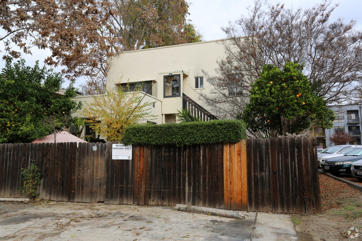
1416 Q St
Sacramento, CA 95811


