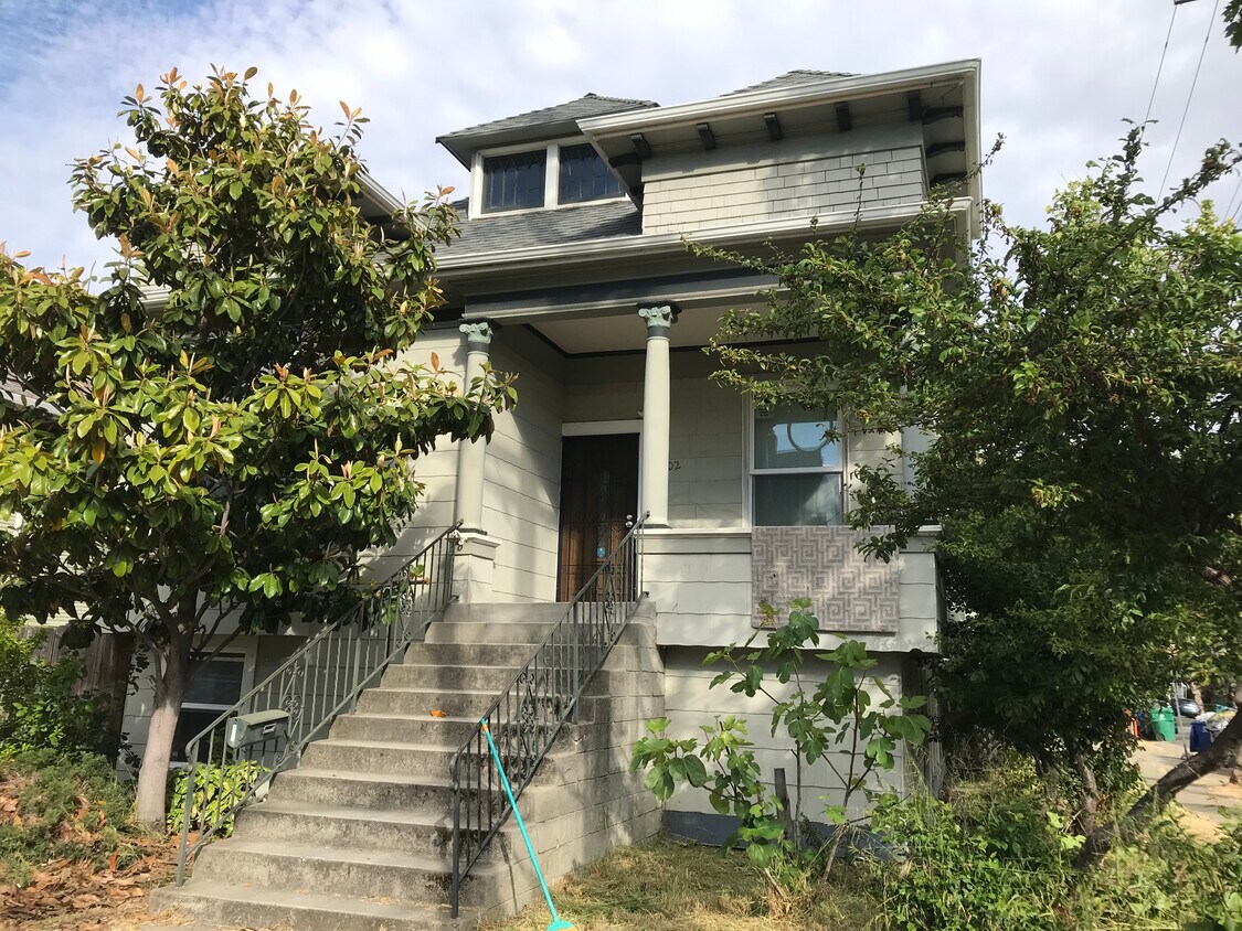
1402 High St Unit B
Alameda, CA 94501
-
Bedrooms
1
-
Bathrooms
1
-
Square Feet
500 sq ft
-
Available
Available Now

Fees and Policies
The fees below are based on community-supplied data and may exclude additional fees and utilities.
Details
Property Information
-
4 units
Contact
- Phone Number
- Contact
The Bay Area island of Alameda may be small, but its downtown area is packed with the amenities and character you’d expect of a bigger city. Downtown Alameda is located on the island’s east side and provides views of the Oakland hills and nature preserves, as well as the beautiful bay.
Spanish-style houses and apartments are packed in the downtown island landscape, providing colorful setting for families and professionals alike. Locals flock to Park St. for an incredible array of restaurants, shops, and attractions, including the Alameda Museum and Red Door art gallery.
Although all of Alameda is easy to reach, Downtown Alameda is an ideal spot for experiencing the rest of the city, and the Bay Area as a whole. Alameda also has excellent service thanks to BART.
Learn more about living in Downtown Alameda| Colleges & Universities | Distance | ||
|---|---|---|---|
| Colleges & Universities | Distance | ||
| Drive: | 11 min | 3.9 mi | |
| Drive: | 11 min | 4.0 mi | |
| Drive: | 8 min | 4.3 mi | |
| Drive: | 10 min | 5.2 mi |
Transportation options available in Alameda include Fruitvale Station, located 2.0 miles from 1402 High St Unit B. 1402 High St Unit B is near Metro Oakland International, located 3.7 miles or 8 minutes away, and San Francisco International, located 33.0 miles or 42 minutes away.
| Transit / Subway | Distance | ||
|---|---|---|---|
| Transit / Subway | Distance | ||
|
|
Drive: | 5 min | 2.0 mi |
|
|
Drive: | 6 min | 2.9 mi |
|
|
Drive: | 8 min | 4.5 mi |
|
|
Drive: | 10 min | 5.0 mi |
|
|
Drive: | 9 min | 5.1 mi |
| Commuter Rail | Distance | ||
|---|---|---|---|
| Commuter Rail | Distance | ||
|
|
Drive: | 8 min | 4.6 mi |
|
|
Drive: | 16 min | 9.5 mi |
|
|
Drive: | 18 min | 11.7 mi |
| Drive: | 26 min | 16.6 mi | |
| Drive: | 26 min | 16.6 mi |
| Airports | Distance | ||
|---|---|---|---|
| Airports | Distance | ||
|
Metro Oakland International
|
Drive: | 8 min | 3.7 mi |
|
San Francisco International
|
Drive: | 42 min | 33.0 mi |
Time and distance from 1402 High St Unit B.
| Shopping Centers | Distance | ||
|---|---|---|---|
| Shopping Centers | Distance | ||
| Walk: | 3 min | 0.2 mi | |
| Walk: | 19 min | 1.0 mi | |
| Drive: | 2 min | 1.2 mi |
| Parks and Recreation | Distance | ||
|---|---|---|---|
| Parks and Recreation | Distance | ||
|
Crown Memorial State Beach
|
Drive: | 7 min | 3.1 mi |
|
Crab Cove Visitor Center
|
Drive: | 7 min | 3.1 mi |
|
Martin Luther King Jr. Regional Shoreline
|
Drive: | 8 min | 3.9 mi |
|
Oakland Museum of California
|
Drive: | 8 min | 4.5 mi |
|
Juan Bautista de Anza National Historic Trail
|
Drive: | 9 min | 4.8 mi |
| Hospitals | Distance | ||
|---|---|---|---|
| Hospitals | Distance | ||
| Drive: | 3 min | 1.6 mi | |
| Drive: | 6 min | 2.9 mi | |
| Drive: | 9 min | 4.5 mi |
| Military Bases | Distance | ||
|---|---|---|---|
| Military Bases | Distance | ||
| Drive: | 14 min | 5.5 mi | |
| Drive: | 15 min | 5.5 mi |
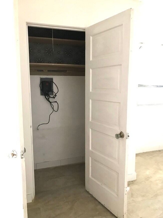
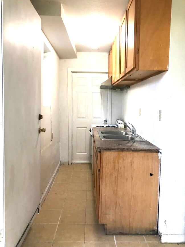
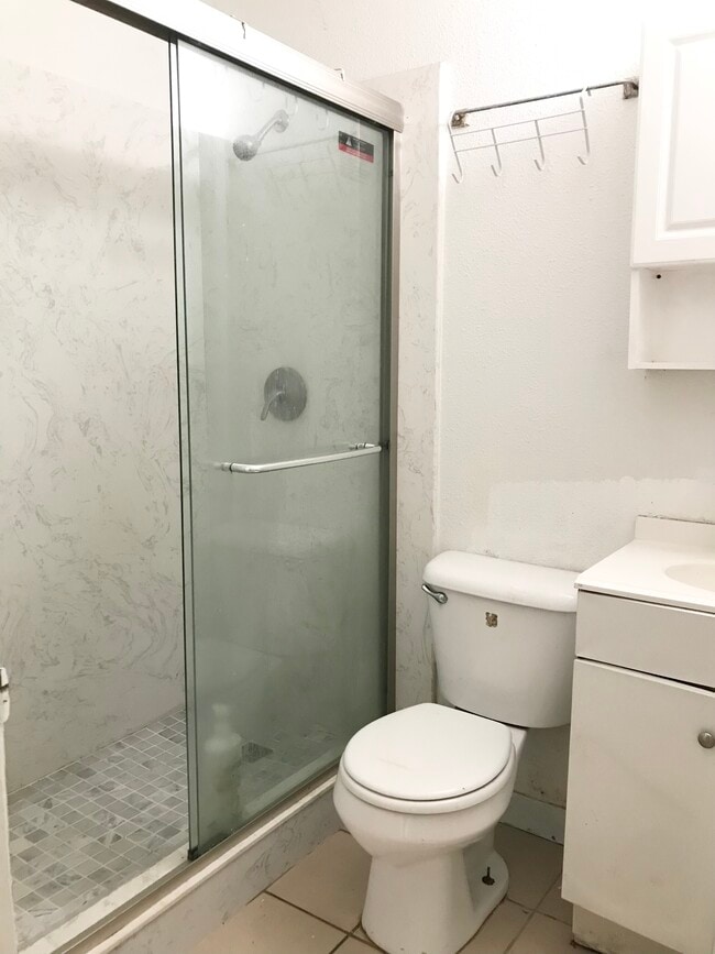
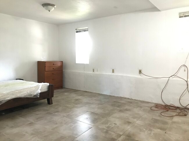
1402 High St Unit B Photos
What Are Walk Score®, Transit Score®, and Bike Score® Ratings?
Walk Score® measures the walkability of any address. Transit Score® measures access to public transit. Bike Score® measures the bikeability of any address.
What is a Sound Score Rating?
A Sound Score Rating aggregates noise caused by vehicle traffic, airplane traffic and local sources

1402 High St
Alameda, CA 94501