
eaves Seal Beach
333 1st St,
Seal Beach, CA 90740
Studio - 2 Beds $2,030 - $4,188

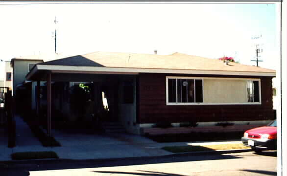
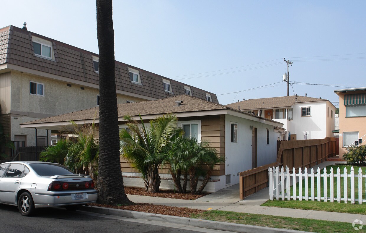

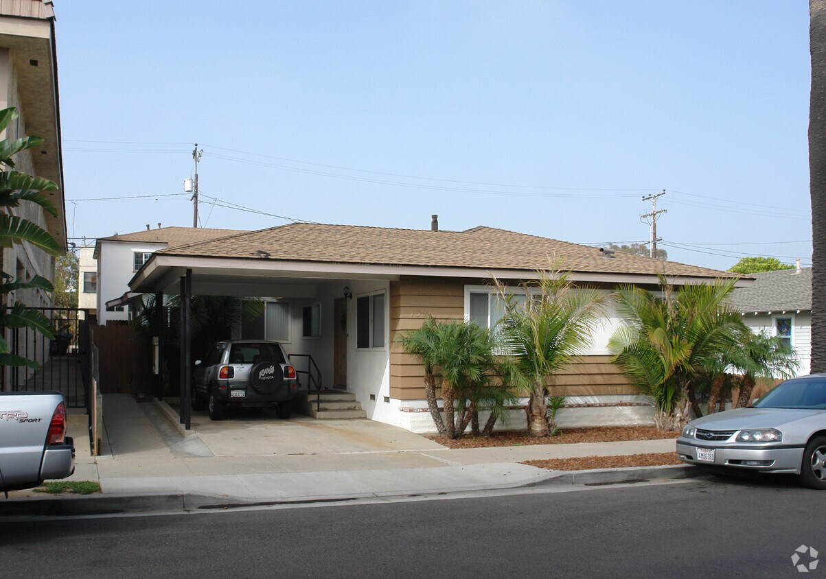
Experience 139 10th St. The 139 10th St. location in Seal Beach's 90740 Zip code is an ideal place to live. From pricing to features, the professional leasing staff will assist you in finding the perfect floorplan. Come for a visit to view the available floorplans. Drop by 139 10th St today.
139 10th St is an apartment community located in Orange County and the 90740 ZIP Code. This area is served by the Long Beach Unified attendance zone.
A coastal community between Long Beach and Huntington Beach, Seal Beach has maintained its charm and appeal for decades. Despite being a tourist destination, Seal Beach feels centered around locals and offers a safe, family-friendly environment. With a varied population of surfers, families, and retirees, Seal Beach stays relaxed with a laid-back vibe that persists even at the height of tourist season. Although sandwiched between two larger beachfront destinations, Seal Beach offers a unique environment and scenic Old Town construction.
Famous for its long wooden pier, Seal Beach hosts a number of fishermen year round. Due to the nearby U.S. Navel Weapons Station, this city has strategic military significance for West Coast Operations, which has attracted a major branch of Boeing that employees many residents in the neighborhood. Most rentals in the area near the coast, ranging from beachy houses to upscale apartments.
Learn more about living in Seal Beach| Colleges & Universities | Distance | ||
|---|---|---|---|
| Colleges & Universities | Distance | ||
| Drive: | 7 min | 3.5 mi | |
| Drive: | 14 min | 6.6 mi | |
| Drive: | 15 min | 7.2 mi | |
| Drive: | 14 min | 8.0 mi |


Transportation options available in Seal Beach include 1St Street Station, located 6.2 miles from 139 10th St. 139 10th St is near Long Beach (Daugherty Field), located 8.2 miles or 15 minutes away, and John Wayne/Orange County, located 16.7 miles or 23 minutes away.
| Transit / Subway | Distance | ||
|---|---|---|---|
| Transit / Subway | Distance | ||
|
|
Drive: | 14 min | 6.2 mi |
|
|
Drive: | 15 min | 6.3 mi |
|
|
Drive: | 16 min | 6.7 mi |
|
|
Drive: | 15 min | 6.8 mi |
|
|
Drive: | 15 min | 7.2 mi |
| Commuter Rail | Distance | ||
|---|---|---|---|
| Commuter Rail | Distance | ||
|
|
Drive: | 26 min | 15.6 mi |
|
|
Drive: | 24 min | 16.4 mi |
|
|
Drive: | 25 min | 17.3 mi |
| Drive: | 25 min | 17.5 mi | |
|
|
Drive: | 30 min | 19.0 mi |
| Airports | Distance | ||
|---|---|---|---|
| Airports | Distance | ||
|
Long Beach (Daugherty Field)
|
Drive: | 15 min | 8.2 mi |
|
John Wayne/Orange County
|
Drive: | 23 min | 16.7 mi |
Time and distance from 139 10th St.
| Shopping Centers | Distance | ||
|---|---|---|---|
| Shopping Centers | Distance | ||
| Walk: | 7 min | 0.4 mi | |
| Walk: | 8 min | 0.4 mi | |
| Walk: | 11 min | 0.6 mi |
| Parks and Recreation | Distance | ||
|---|---|---|---|
| Parks and Recreation | Distance | ||
|
Los Cerritos Wetlands Trust
|
Walk: | 18 min | 1.0 mi |
|
Sunset Harbour
|
Drive: | 5 min | 3.1 mi |
|
Colorado Lagoon
|
Drive: | 7 min | 3.2 mi |
|
Earl Burns Miller Japanese Garden
|
Drive: | 8 min | 3.7 mi |
|
El Dorado East Regional Park
|
Drive: | 11 min | 5.0 mi |
| Hospitals | Distance | ||
|---|---|---|---|
| Hospitals | Distance | ||
| Drive: | 11 min | 5.9 mi | |
| Drive: | 10 min | 6.0 mi | |
| Drive: | 14 min | 6.9 mi |
| Military Bases | Distance | ||
|---|---|---|---|
| Military Bases | Distance | ||
| Drive: | 14 min | 7.6 mi | |
| Drive: | 29 min | 12.5 mi |
What Are Walk Score®, Transit Score®, and Bike Score® Ratings?
Walk Score® measures the walkability of any address. Transit Score® measures access to public transit. Bike Score® measures the bikeability of any address.
What is a Sound Score Rating?
A Sound Score Rating aggregates noise caused by vehicle traffic, airplane traffic and local sources
139 10th St
Seal Beach, CA 90740


