
21726 138th Rd
21726 138th Rd,
Springfield Gardens, NY 11413
$2,600 Total Monthly Price
2 Beds 3 Month Lease

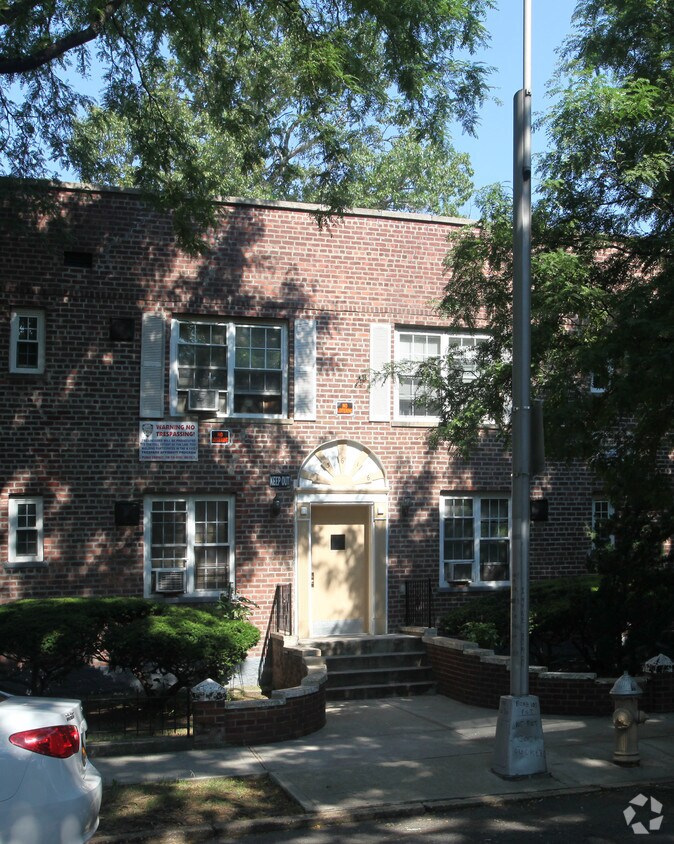
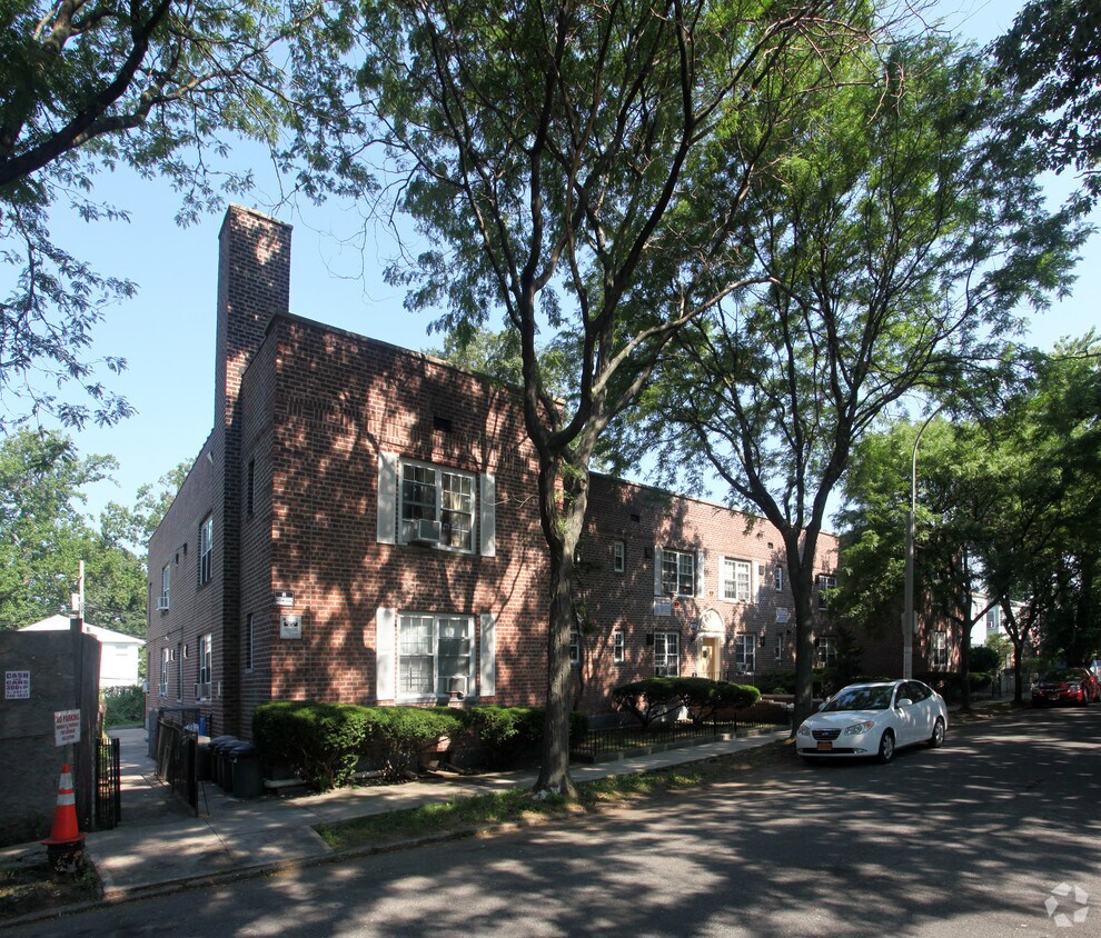
Welcome to 136-16 222nd St. This community is located in the Laurelton area of Springfield Gardens. The leasing staff will assist you in finding your ideal place. Drop by the leasing office to schedule a tour and find your new home at 136-16 222nd St.
136-16 222nd St is an apartment community located in Queens County and the 11413 ZIP Code. This area is served by the New York City Geographic District #29 attendance zone.
Adjacent to John F. Kennedy International Airport, Springfield Gardens is located in the southeastern portion of New York City’s Queens borough. Home to many immigrants from the Caribbean, Springfield Gardens boasts a variety of delectable cuisine, including roti shops, Chinese fare, pizzerias, delis, and cafes.
Springfield Gardens offers many opportunities to engage in outdoor recreation with convenience to a number of parks such as Baisley Pond Park, Springfield Park, and Idlewild Park. Rockaway Beach is just minutes away from Springfield Gardens as well. Springfield Gardens also offers residents easy commutes to Manhattan via bus or train. Air travel plans are simple to execute with such close proximity to John F. Kennedy International Airport.
Learn more about living in Springfield GardensCompare neighborhood and city base rent averages by bedroom.
| Southeast Queens | Springfield Gardens, NY | |
|---|---|---|
| Studio | $1,806 | $1,534 |
| 1 Bedroom | $1,700 | $1,714 |
| 2 Bedrooms | $1,353 | $1,979 |
| 3 Bedrooms | $1,097 | $2,131 |
| Colleges & Universities | Distance | ||
|---|---|---|---|
| Colleges & Universities | Distance | ||
| Drive: | 10 min | 4.6 mi | |
| Drive: | 13 min | 6.2 mi | |
| Drive: | 13 min | 6.5 mi | |
| Drive: | 17 min | 9.6 mi |


Transportation options available in Springfield Gardens include Federal Circle, located 4.0 miles from 136-16 222nd St. 136-16 222nd St is near John F Kennedy International, located 5.1 miles or 11 minutes away, and LaGuardia, located 12.1 miles or 21 minutes away.
| Transit / Subway | Distance | ||
|---|---|---|---|
| Transit / Subway | Distance | ||
|
|
Drive: | 11 min | 4.0 mi |
|
|
Drive: | 9 min | 4.4 mi |
|
|
Drive: | 9 min | 4.8 mi |
|
|
Drive: | 11 min | 5.2 mi |
|
|
Drive: | 12 min | 5.2 mi |
| Commuter Rail | Distance | ||
|---|---|---|---|
| Commuter Rail | Distance | ||
|
|
Walk: | 10 min | 0.6 mi |
|
|
Drive: | 5 min | 1.3 mi |
|
|
Drive: | 4 min | 1.3 mi |
|
|
Drive: | 7 min | 2.4 mi |
|
|
Drive: | 7 min | 3.1 mi |
| Airports | Distance | ||
|---|---|---|---|
| Airports | Distance | ||
|
John F Kennedy International
|
Drive: | 11 min | 5.1 mi |
|
LaGuardia
|
Drive: | 21 min | 12.1 mi |
Scores provided by
Traffic
ActiveAirport
BusyBusinesses
ActiveScores provided by
HowLoud What is a Sound Score Rating? A Sound Score Rating aggregates noise caused by vehicle traffic, airplane traffic and local sources. How It WorksTime and distance from 136-16 222nd St.
| Shopping Centers | Distance | ||
|---|---|---|---|
| Shopping Centers | Distance | ||
| Walk: | 10 min | 0.5 mi | |
| Drive: | 6 min | 2.0 mi | |
| Drive: | 7 min | 2.6 mi |
| Parks and Recreation | Distance | ||
|---|---|---|---|
| Parks and Recreation | Distance | ||
|
Brookville Park
|
Drive: | 4 min | 1.3 mi |
|
Roy Wilkins Recreation Center
|
Drive: | 5 min | 1.7 mi |
|
Baisley Pond Park
|
Drive: | 7 min | 3.2 mi |
|
Detective Keith L. Williams Park
|
Drive: | 10 min | 4.0 mi |
|
Valley Stream State Park
|
Drive: | 10 min | 4.1 mi |
| Hospitals | Distance | ||
|---|---|---|---|
| Hospitals | Distance | ||
| Drive: | 9 min | 4.9 mi | |
| Drive: | 11 min | 5.8 mi | |
| Drive: | 13 min | 6.7 mi |
| Military Bases | Distance | ||
|---|---|---|---|
| Military Bases | Distance | ||
| Drive: | 16 min | 9.8 mi | |
| Drive: | 24 min | 13.8 mi | |
| Drive: | 32 min | 15.3 mi |
What Are Walk Score®, Transit Score®, and Bike Score® Ratings?
Walk Score® measures the walkability of any address. Transit Score® measures access to public transit. Bike Score® measures the bikeability of any address.
What is a Sound Score Rating?
A Sound Score Rating aggregates noise caused by vehicle traffic, airplane traffic and local sources.
136-16 222nd St
Springfield Gardens, NY 11413


