
$1,925
/ Month
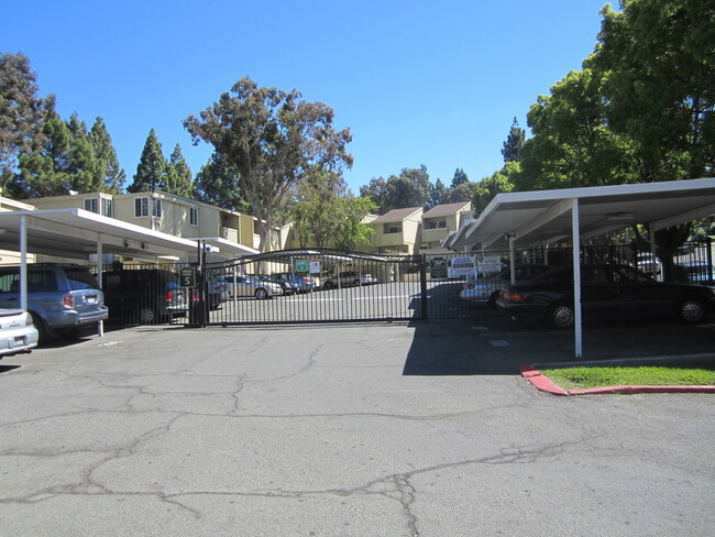
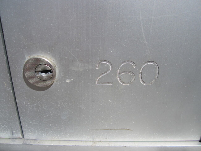
1333 N Camino Alto Unit 1333 N Camino Alto #260
Vallejo, CA 94589
Favorites
1333 N Camino Alto Unit 1333 N Camino Alto #260

Favorites
Check Back Soon for Upcoming Availability
| Beds | Baths | Average SF |
|---|---|---|
| 2 Bedrooms 2 Bedrooms 2 Br | 1 Bath 1 Bath 1 Ba | 786 SF |
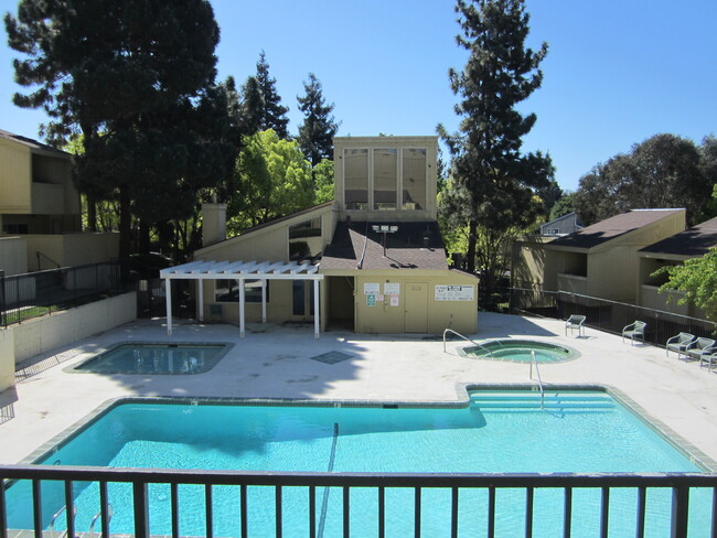
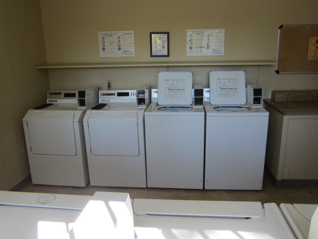
About This Property
Check out your new address in Vallejo, CA. This rental is located at 1333 N Camino Alto in Vallejo. With this great space, you're home. Let us assist you! Contact us now to schedule a tour!
1333 N Camino Alto is an apartment community located in Solano County and the 94589 ZIP Code.
1333 N Camino Alto,
Vallejo,
CA
94589
As the largest city in Solano County and the 10th-largest city in the San Francisco Bay Area, West Vallejo has become a hot destination for families, singles, and artistic individuals looking for beautiful historic Victorian homes and a growing community that is much more affordable compared to others in the Bay Area.
There’s plenty to do in West Vallejo, from outdoor activities to nightlife, restaurants, and coffee shops. With easy access to San Francisco by ferry or an hour drive by car away, this mostly suburban community rests far enough from the urban environment to be a mellow break from the hustle and bustle, but close enough that indulging in all of San Francisco’s sights — from the Golden Gate Bridge to the Coit Tower — are never too far away to enjoy.
Learn more about living in West VallejoBelow are rent ranges for similar nearby apartments
| Beds | Average Size | Lowest | Typical | Premium |
|---|---|---|---|---|
| Studio Studio Studio | 554-565 Sq Ft | $1,149 | $1,458 | $2,100 |
| 1 Bed 1 Bed 1 Bed | 664 Sq Ft | $1,199 | $1,728 | $2,500 |
| 2 Beds 2 Beds 2 Beds | 919 Sq Ft | $1,200 | $2,128 | $2,650 |
| 3 Beds 3 Beds 3 Beds | 1264 Sq Ft | $1,750 | $2,602 | $3,300 |
| 4 Beds 4 Beds 4 Beds | 1671 Sq Ft | $3,000 | $3,118 | $3,235 |
Education
| Colleges & Universities | Distance | ||
|---|---|---|---|
| Colleges & Universities | Distance | ||
| Drive: | 12 min | 6.2 mi | |
| Drive: | 16 min | 10.8 mi | |
| Drive: | 18 min | 12.1 mi | |
| Drive: | 21 min | 15.2 mi |
1333 N Camino Alto Unit 1333 N Camino Alto #260 is within 12 minutes or 6.2 miles from Touro University California. It is also near Napa Valley College and Solano Community College.
Walkability Near 1333 N Camino Alto Vallejo, CA 94589
Getting Around
 What do Walkability, Transit, Drivability, and Bikeability mean?
Walkability measures the walking distance to day-to-day needs.
Transit measures access to public transportation.
Drivability measures congestion, parking availability, and access to major roads.
Bikeability measures the suitability for cycling.
How It Works
What do Walkability, Transit, Drivability, and Bikeability mean?
Walkability measures the walking distance to day-to-day needs.
Transit measures access to public transportation.
Drivability measures congestion, parking availability, and access to major roads.
Bikeability measures the suitability for cycling.
How It Works
Fairly Walkable
Walkability
50
/ 100
Limited Public Transit
Transit
30
/ 100
Very Drivable
Drivability
80
/ 100
Fairly Bikeable
Bikeability
40
/ 100
Scores provided by
Active
Soundscore™
80
/ 100
Traffic
ActiveAirport
CalmBusinesses
CalmScores provided by
HowLoud What is a Sound Score Rating? A Sound Score Rating aggregates noise caused by vehicle traffic, airplane traffic and local sources. How It WorksYou May Also Like
Similar Rentals Nearby


What Are Walk Score®, Transit Score®, and Bike Score® Ratings?
Walk Score® measures the walkability of any address. Transit Score® measures access to public transit. Bike Score® measures the bikeability of any address.
What is a Sound Score Rating?
A Sound Score Rating aggregates noise caused by vehicle traffic, airplane traffic and local sources.
1333 N Camino Alto
Vallejo, CA 94589