
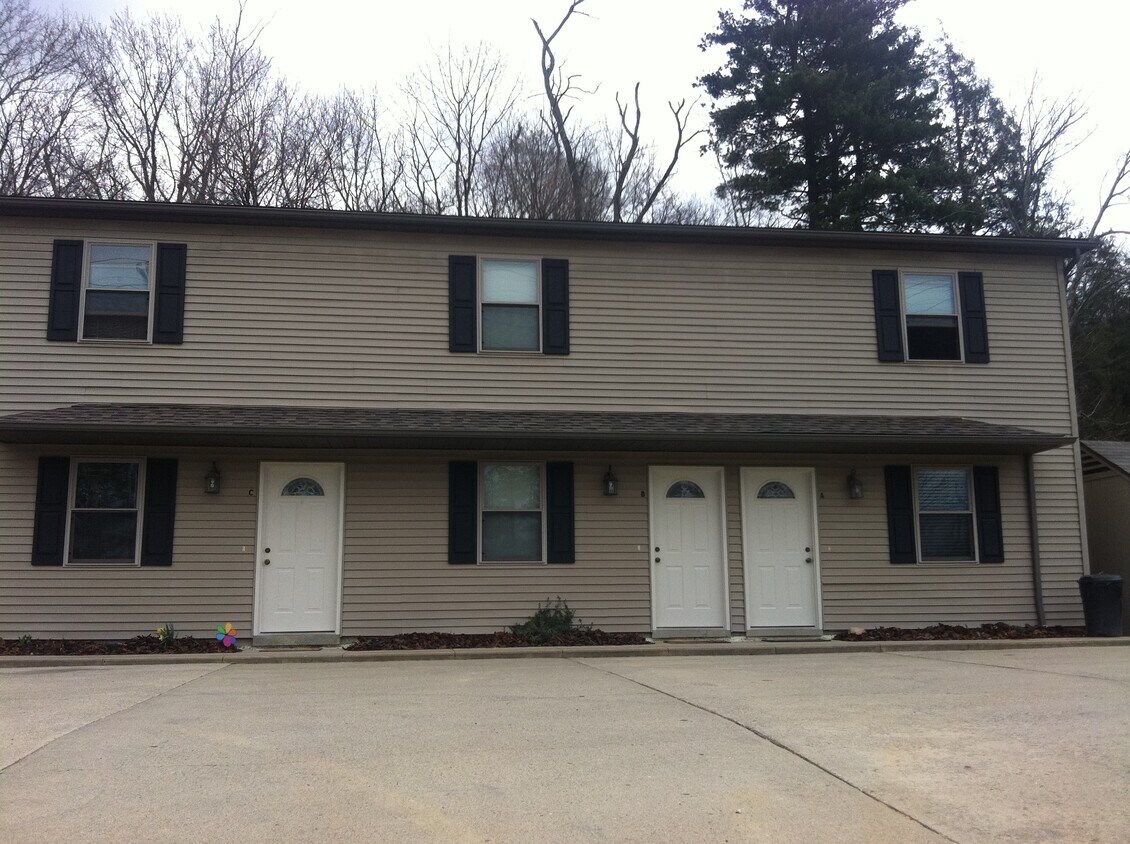
1320 McFarland Rd Unit C
Cambridge, OH 43725

Check Back Soon for Upcoming Availability
| Beds | Baths | Average SF |
|---|---|---|
| 2 Bedrooms 2 Bedrooms 2 Br | 1 Bath 1 Bath 1 Ba | 1,000 SF |
Fees and Policies
The fees listed below are community-provided and may exclude utilities or add-ons. All payments are made directly to the property and are non-refundable unless otherwise specified.
- Parking
-
Surface Lot--
About This Property
Great location. Walking distance to city park and hospital. No pets, No HUD, No Smoking. Accepting applications.
1320 McFarland Rd is a townhome located in Guernsey County and the 43725 ZIP Code.
Townhome Features
- Washer/Dryer Hookup
- Smoke Free
Cambridge is a small city in eastern Ohio, located near the junction of Interstates 70 and 77 roughly halfway between Columbus and Pittsburgh. The community’s landscape is largely dominated by residential neighborhoods streets lined by large homes and tree-shaded sidewalks. The Downtown district along Wheeling Avenue is a timeless slice of pure Americana, with grandiose public buildings and historic red brick storefronts housing an eclectic variety of restaurants, specialty shops, antique malls, and other small businesses. North northeast of town, Salt Fork State Park provides a massive natural playground perfect for hiking, camping, boating, and fishing.
Learn more about living in Cambridge- Washer/Dryer Hookup
- Smoke Free
| Colleges & Universities | Distance | ||
|---|---|---|---|
| Colleges & Universities | Distance | ||
| Drive: | 18 min | 10.5 mi | |
| Drive: | 37 min | 28.0 mi | |
| Drive: | 49 min | 39.3 mi |
Walkability Near 1320 McFarland Rd Cambridge, OH 43725
Scores provided by
Traffic
-Airport
-Businesses
-Scores provided by
HowLoud What is a Sound Score Rating? A Sound Score Rating aggregates noise caused by vehicle traffic, airplane traffic and local sources. How It WorksWhat Are Walk Score®, Transit Score®, and Bike Score® Ratings?
Walk Score® measures the walkability of any address. Transit Score® measures access to public transit. Bike Score® measures the bikeability of any address.
What is a Sound Score Rating?
A Sound Score Rating aggregates noise caused by vehicle traffic, airplane traffic and local sources.
1320 McFarland Rd
Cambridge, OH 43725