
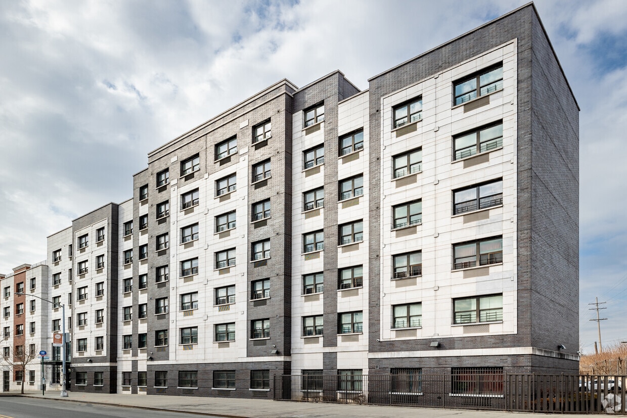
83-71 116th St
83-71 116th St,
Queens, NY 11418
$3,650
2 Beds

12911 Jamaica Ave is an apartment community located in Queens County and the 11418 ZIP Code. This area is served by the New York City Geographic District #28 attendance zone.
Elevator
Playground
24 Hour Access
Walking/Biking Trails
Air Conditioning
Dishwasher
Hardwood Floors
Refrigerator
Tucked into southeastern Queens, Richmond Hill is a neighborhood where tree-lined blocks of historic Victorian homes sit near the energy of Brooklyn and Manhattan. Forest Park anchors the northern edge with wooded trails, open meadows, and space to breathe — a welcome escape that feels surprisingly removed from city buzz. Jamaica and Liberty Avenues cut through the heart of the neighborhood, offering an ever-rotating mix of restaurants, shops, and daily essentials, all within easy walking distance of multiple subway stops.
Renters here will find vintage walk-up apartments and small apartment communities tucked between residential side streets, with a housing stock that leans toward character-filled pre-war buildings rather than glass-and-steel high-rises. CUNY's York College sits nearby, adding an academic pulse to the area. The neighborhood maintains its historic charm while offering convenient access to urban amenities and green spaces.
Learn more about living in Richmond HillCompare neighborhood and city base rent averages by bedroom.
| Southeast Queens | Richmond Hill, NY | |
|---|---|---|
| Studio | $1,690 | $1,531 |
| 1 Bedroom | $2,110 | $1,868 |
| 2 Bedrooms | $2,679 | $2,375 |
| 3 Bedrooms | $3,298 | - |
| Colleges & Universities | Distance | ||
|---|---|---|---|
| Colleges & Universities | Distance | ||
| Drive: | 4 min | 2.1 mi | |
| Drive: | 8 min | 3.1 mi | |
| Drive: | 8 min | 4.9 mi | |
| Drive: | 13 min | 6.5 mi |


Transportation options available in Richmond Hill include Jamaica-Van Wyck, located 0.3 mile from 12911 Jamaica Ave. 12911 Jamaica Ave is near John F Kennedy International, located 5.9 miles or 8 minutes away, and LaGuardia, located 6.8 miles or 12 minutes away.
| Transit / Subway | Distance | ||
|---|---|---|---|
| Transit / Subway | Distance | ||
|
|
Walk: | 6 min | 0.3 mi |
|
|
Walk: | 6 min | 0.3 mi |
|
|
Walk: | 16 min | 0.8 mi |
|
|
Walk: | 16 min | 0.9 mi |
|
|
Drive: | 2 min | 1.1 mi |
| Commuter Rail | Distance | ||
|---|---|---|---|
| Commuter Rail | Distance | ||
|
|
Walk: | 18 min | 0.9 mi |
|
|
Drive: | 4 min | 1.3 mi |
|
|
Drive: | 6 min | 2.6 mi |
|
|
Drive: | 6 min | 2.9 mi |
|
|
Drive: | 7 min | 3.4 mi |
| Airports | Distance | ||
|---|---|---|---|
| Airports | Distance | ||
|
John F Kennedy International
|
Drive: | 8 min | 5.9 mi |
|
LaGuardia
|
Drive: | 12 min | 6.8 mi |
Scores provided by
Traffic
-Airport
-Businesses
-Scores provided by
HowLoud What is a Sound Score Rating? A Sound Score Rating aggregates noise caused by vehicle traffic, airplane traffic and local sources. How It WorksTime and distance from 12911 Jamaica Ave.
| Shopping Centers | Distance | ||
|---|---|---|---|
| Shopping Centers | Distance | ||
| Walk: | 5 min | 0.3 mi | |
| Walk: | 11 min | 0.6 mi | |
| Drive: | 4 min | 1.7 mi |
| Parks and Recreation | Distance | ||
|---|---|---|---|
| Parks and Recreation | Distance | ||
|
Rufus King Park
|
Drive: | 3 min | 1.3 mi |
|
Forest Park - Brooklyn-Queens
|
Drive: | 3 min | 1.5 mi |
|
Detective Keith L. Williams Park
|
Drive: | 6 min | 2.9 mi |
|
Baisley Pond Park
|
Drive: | 6 min | 3.5 mi |
|
Flushing Meadows Corona Park
|
Drive: | 8 min | 4.7 mi |
| Hospitals | Distance | ||
|---|---|---|---|
| Hospitals | Distance | ||
| Walk: | 8 min | 0.4 mi | |
| Drive: | 5 min | 2.2 mi | |
| Drive: | 10 min | 5.3 mi |
| Military Bases | Distance | ||
|---|---|---|---|
| Military Bases | Distance | ||
| Drive: | 16 min | 9.8 mi | |
| Drive: | 21 min | 11.9 mi | |
| Drive: | 29 min | 13.4 mi |
What Are Walk Score®, Transit Score®, and Bike Score® Ratings?
Walk Score® measures the walkability of any address. Transit Score® measures access to public transit. Bike Score® measures the bikeability of any address.
What is a Sound Score Rating?
A Sound Score Rating aggregates noise caused by vehicle traffic, airplane traffic and local sources.
12911 Jamaica Ave
Richmond Hill, NY 11418


