

129 Don Lorenzo Ct
129 Don Lorenzo Ct
Aptos, CA 95003
2 Weeks Ago
Favorites
129 Don Lorenzo Ct

Favorites
Check Back Soon for Upcoming Availability
| Beds | Baths | Average SF |
|---|---|---|
| 3 Bedrooms 3 Bedrooms 3 Br | 2 Baths 2 Baths 2 Ba | — |
Location
Get Directions
Overlooking Monterey Bay and home to the gorgeous Seacliff State Beach, Aptos provides amazing ocean views -- or the forest if you prefer, bordered on northeast side by the Forest of Nisene Marks State Park. This redwood forest begins at sea level and extends into the coastal mountains, providing 30 miles of hiking trails. The park is also terrific for camping, picnicking, and wildlife viewing.
At the other side of Aptos, Seacliff State Beach is perfect for surfing, beachcombing, swimming, and fishing. It also features a fishing pier with an unusual feature -- a concrete ship named the SS Palo Alto, a WWI ship that was built toward the end of the war -- too late for use. It was towed to its current location and allowed to sink where it now serves as an artificial reef. Aptos is located about seven miles east of Santa Cruz and roughly one hour south of San Jose.
Learn more about living in Aptos
Education
| Colleges & Universities | Distance | ||
|---|---|---|---|
| Colleges & Universities | Distance | ||
| Drive: | 9 min | 5.6 mi | |
| Drive: | 26 min | 16.0 mi | |
| Drive: | 35 min | 27.0 mi | |
| Drive: | 45 min | 31.5 mi |
129 Don Lorenzo Ct is within 9 minutes or 5.6 miles from Cabrillo College. It is also near UC Santa Cruz and Gavilan College, Gilroy.
You May Also Like
Similar Rentals Nearby


What Are Walk Score®, Transit Score®, and Bike Score® Ratings?
Walk Score® measures the walkability of any address. Transit Score® measures access to public transit. Bike Score® measures the bikeability of any address.
What is a Sound Score Rating?
A Sound Score Rating aggregates noise caused by vehicle traffic, airplane traffic and local sources
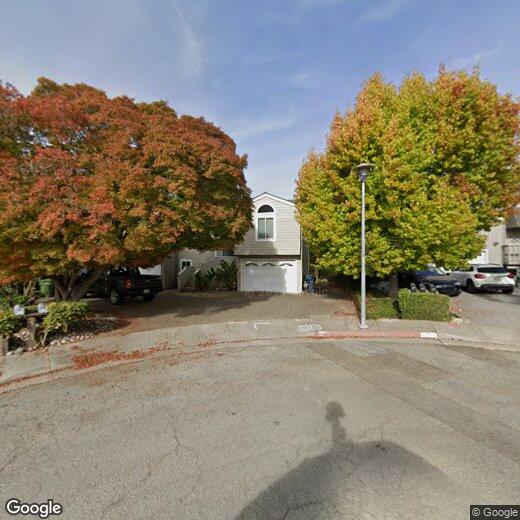
129 Don Lorenzo Ct
Aptos, CA 95003