1 / 36


| Beds | Baths | Average SF |
|---|---|---|
| 3 Bedrooms 3 Bedrooms 3 Br | 2 Baths 2 Baths 2 Ba | — |
Madison, Alabama sits just west of Huntsville along Interstate 565, shaped as much by the nearby Redstone Arsenal and Cummings Research Park as by its roots as a 19th-century railroad stop originally called Madison Station. The city has grown steadily from a quiet suburb into a well-regarded destination in the Tennessee Valley's technology corridor, drawing residents connected to defense, aerospace, and research industries headquartered in the broader Huntsville metro. Toyota Field, home to the Rocket City Trash Pandas minor league baseball team, anchors the Town Madison mixed-use district and gives the city a distinct gathering point that larger cities often lack.
Neighborhoods range from the tree-lined blocks of the historic Main Street district to newer developments along the Clift Farm and US-72 corridor, offering a mix of character and convenience.
Learn more about living in Madison| Colleges & Universities | Distance | ||
|---|---|---|---|
| Colleges & Universities | Distance | ||
| Drive: | 16 min | 9.0 mi | |
| Drive: | 16 min | 10.0 mi | |
| Drive: | 17 min | 10.7 mi | |
| Drive: | 20 min | 12.6 mi |
Scores provided by
Traffic
-Airport
-Businesses
-Scores provided by
HowLoud What is a Sound Score Rating? A Sound Score Rating aggregates noise caused by vehicle traffic, airplane traffic and local sources. How It Works
What Are Walk Score®, Transit Score®, and Bike Score® Ratings?
Walk Score® measures the walkability of any address. Transit Score® measures access to public transit. Bike Score® measures the bikeability of any address.
What is a Sound Score Rating?
A Sound Score Rating aggregates noise caused by vehicle traffic, airplane traffic and local sources.

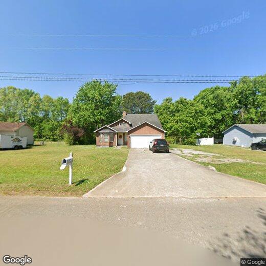
12839 Copperfield Ln
Madison, AL 35756


