

3 Beds
$1,750
Total Monthly Price
12 Month Lease
Total Monthly Price
New
Prices include all required monthly fees.
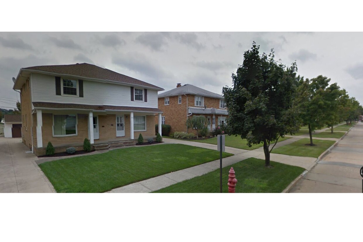
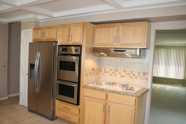
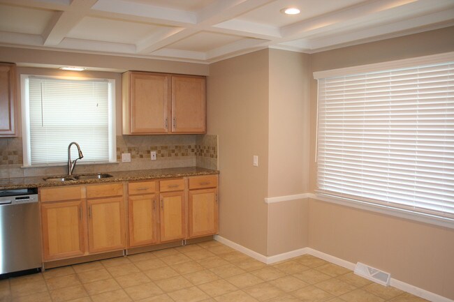
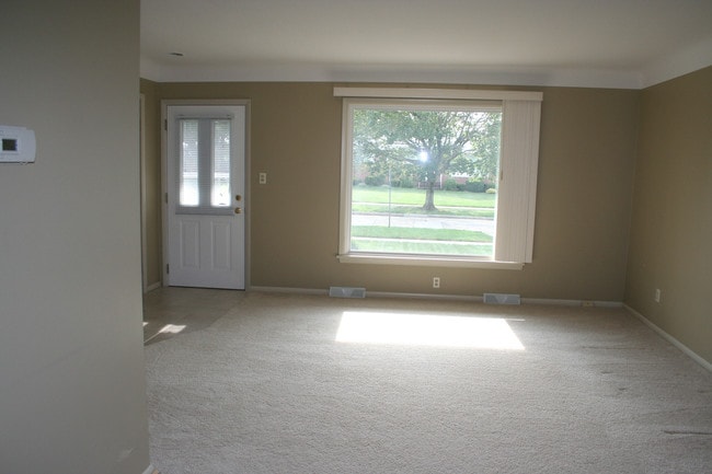
1872 W 47th St


