
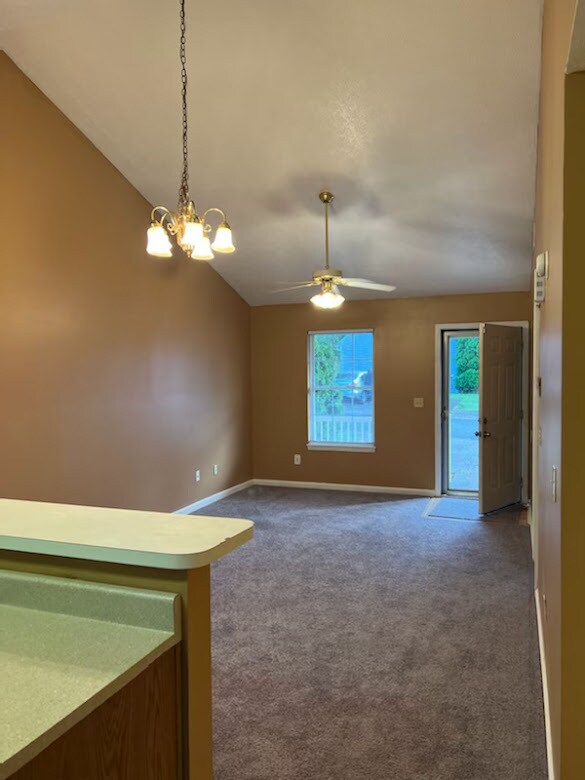
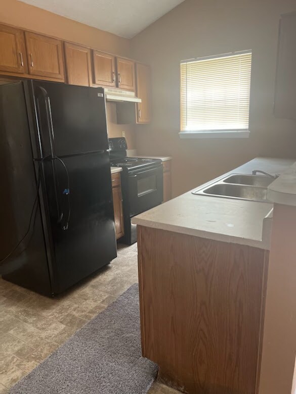
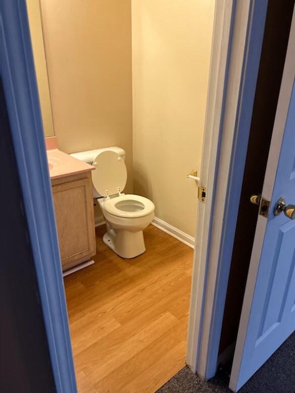
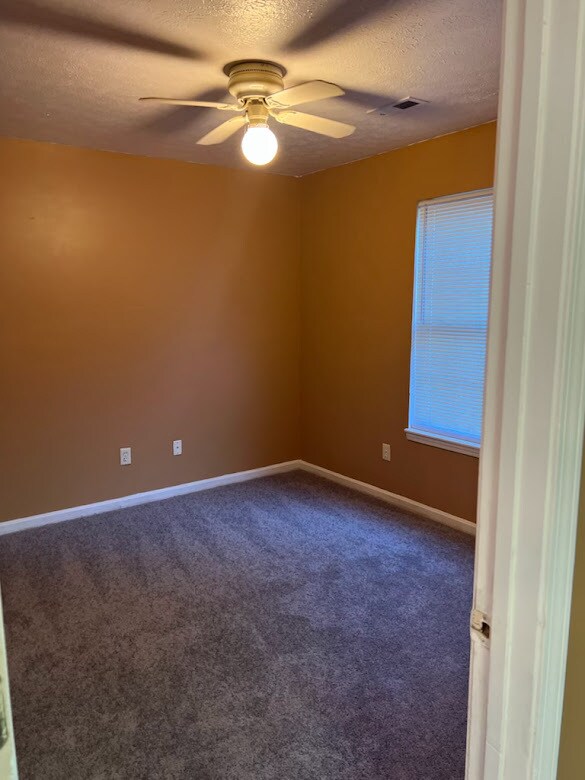
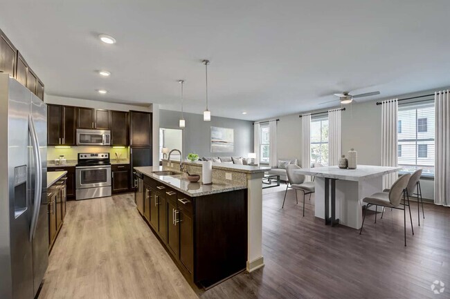
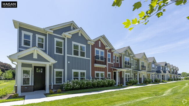
$1,300 / Month
12631 Westport Ridge Way
Louisville, KY 40245
2 Weeks Ago
Favorites
12631 Westport Ridge Way

Favorites
Check Back Soon for Upcoming Availability
| Beds | Baths | Average SF |
|---|---|---|
| 2 Bedrooms 2 Bedrooms 2 Br | 1.5 Baths 1.5 Baths 1.5 Ba | 795 SF |
Location
Get Directions
Three small, upper-middle-class neighborhoods, Middletown, Woodland Hills and Douglass Hills, and Anchorage, an upper-class community, make up the Outer East End of Louisville. Each community features a mixture of newer, more elaborate homes that mingle nicely with some of the historic architecture in the area. However, the homes in Anchorage remain the most elaborate in the area. Wide-open, undeveloped areas provide residents with beautiful scenic views, and nearby access to U.S. Route 60 and interstates 64 and 265 make the 18-mile commute into downtown Louisville simple.
Learn more about living in East End
Education
| Colleges & Universities | Distance | ||
|---|---|---|---|
| Colleges & Universities | Distance | ||
| Drive: | 12 min | 6.3 mi | |
| Drive: | 20 min | 10.6 mi | |
| Drive: | 20 min | 11.8 mi | |
| Drive: | 24 min | 14.5 mi |
12631 Westport Ridge Way is within 12 minutes or 6.3 miles from Univ. of Louisville, Hurst. It is also near Southern Baptist Seminary and Sullivan University.
Schools


Public Elementary School
Grades K-5
606 Students
Attendance Zone
Public Elementary School
Grades PK-5
553 Students
Attendance Zone
Public Middle School
Grades 6-8
630 Students
Attendance Zone
Public Middle School
Grades 6-8
720 Students
Attendance Zone
Public High School
Grades 9-12
2,014 Students
Attendance Zone
Private Elementary & Middle School
Grades PK-8
483 Students
Nearby
Private Elementary, Middle & High School
Grades K-12
Nearby
School data provided by
 The GreatSchools Rating helps parents compare schools within a state based on a variety of school quality indicators and provides a helpful picture of how effectively each school serves all of its students. Ratings are on a scale of 1 (below average) to 10 (above average) and can include test scores, college readiness, academic progress, advanced courses, equity, discipline and attendance data. We also advise parents to visit schools, consider other information on school performance and programs, and consider family needs as part of the school selection process.
View GreatSchools Rating Methodology
View GreatSchools Rating Methodology
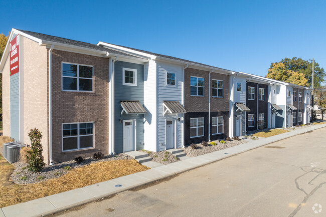
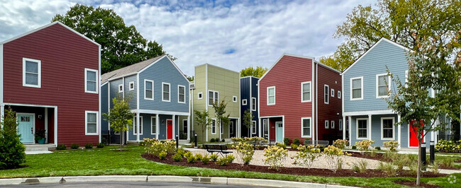
You May Also Like
Similar Rentals Nearby


What Are Walk Score®, Transit Score®, and Bike Score® Ratings?
Walk Score® measures the walkability of any address. Transit Score® measures access to public transit. Bike Score® measures the bikeability of any address.
What is a Sound Score Rating?
A Sound Score Rating aggregates noise caused by vehicle traffic, airplane traffic and local sources
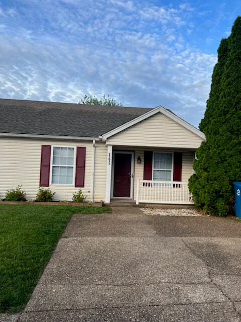
12631 Westport Ridge Way
Louisville, KY 40245