$550
/ Month
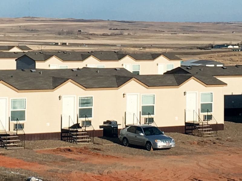
12602-12622 22nd M St NW
Watford City, ND 58854
2 Weeks Ago
|
Edit
Favorites
12602-12622 22nd M St NW

Favorites
Check Back Soon for Upcoming Availability
| Beds | Baths | Average SF |
|---|---|---|
| 1 Bedroom 1 Bedroom 1 Br | 1 Bath 1 Bath 1 Ba | — |
About This Property
Studio efficiency located 3.5 miles south of downtown Watford City. Furniture kitchen utensils bedding and towels are furnished so all you have to do is unpack your clothes and get right to work. Satellite TV with premium channels and all utilities are included. Storage Units available.
12602-12622 22nd M St Nw is an apartment community located in Mckenzie County and the 58854 ZIP Code.
12602-12622 22nd M St NW,
Watford City,
ND
58854
Rising from the plains of northwestern North Dakota, Watford City is a small community surrounded by miles of unspoiled natural landscape. The growth of the oil industry in the region since 2010 significantly boosted Watford City’s population, and the local housing market and business sector have expanded considerably as a result.
Main Street is home to most of the shops, restaurants, and watering holes in town — drop into Main Street Grind for your morning coffee, grab lunch at Siggys Sandwich, then head over to City Bar for a drink after work. The city operates several large public parks, and Fox Hills Golf Course sits just east of the city limits. Affordable rental houses and apartments are abundant, giving you lots of options to suit your taste and budget.
Learn more about living in Watford City
Expenses
Utilities Included
Water, Sewer
Included
Education
| Colleges & Universities | Distance | ||
|---|---|---|---|
| Colleges & Universities | Distance | ||
| Drive: | 63 min | 51.4 mi |
12602-12622 22nd M St NW is within 63 minutes or 51.4 miles from Williston State College.
Walkability Near 12602-12622 22nd M St NW Watford City, ND 58854
Getting Around
 What do Walkability, Transit, Drivability, and Bikeability mean?
Walkability measures the walking distance to day-to-day needs.
Transit measures access to public transportation.
Drivability measures congestion, parking availability, and access to major roads.
Bikeability measures the suitability for cycling.
How It Works
What do Walkability, Transit, Drivability, and Bikeability mean?
Walkability measures the walking distance to day-to-day needs.
Transit measures access to public transportation.
Drivability measures congestion, parking availability, and access to major roads.
Bikeability measures the suitability for cycling.
How It Works
Not Walkable
Walkability
0
/ 100
Exceptionally Drivable
Drivability
100
/ 100
Not Bikeable
Bikeability
10
/ 100
Scores provided by
-
Soundscore™
-
/ 100
Traffic
-Airport
-Businesses
-Scores provided by
HowLoud What is a Sound Score Rating? A Sound Score Rating aggregates noise caused by vehicle traffic, airplane traffic and local sources. How It WorksSimilar Rentals Nearby
-
-
-
-
 Total Monthly Price New1 Bed$903+2 Beds$1,144+3 Beds$1,144+Total Monthly PricePrices include all required monthly fees.
 -
-
-
-
-
-


What Are Walk Score®, Transit Score®, and Bike Score® Ratings?
Walk Score® measures the walkability of any address. Transit Score® measures access to public transit. Bike Score® measures the bikeability of any address.
What is a Sound Score Rating?
A Sound Score Rating aggregates noise caused by vehicle traffic, airplane traffic and local sources.

12602-12622 22nd M St NW
Watford City, ND 58854