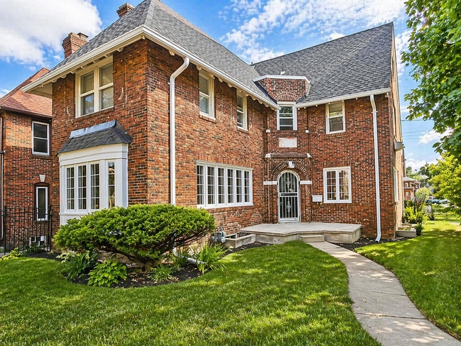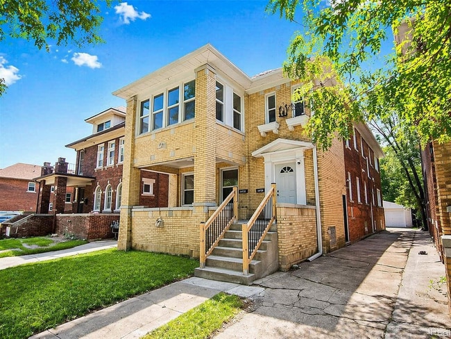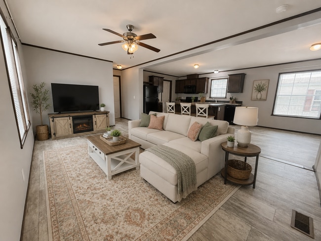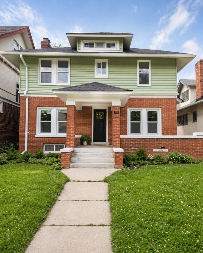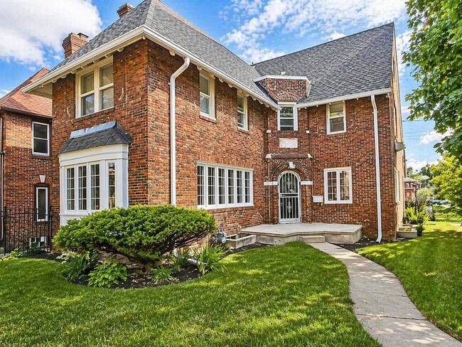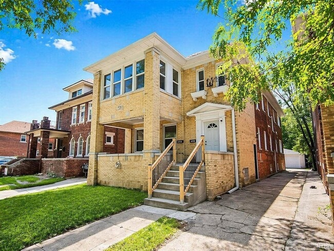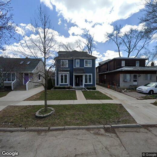

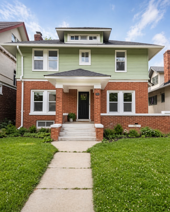
1240 E Lincoln St

1240 E Lincoln St

,

Birmingham, MI 48009

Share Listing
Favorites
1240 E Lincoln St
Share Listing
Favorites

Check Back Soon for Upcoming Availability

Beds Baths Average SF
4 Bedrooms 4 Bedrooms 4 Br 4.5 Baths 4.5 Baths 4.5 Ba
Location
1240 E Lincoln St, Birmingham,
MI 48009
Get Directions
| Edit

Under 30 minutes

Commute Time is calculated at rush hour.
City - Birmingham

Thirty minutes north of downtown Detroit sits Birmingham, an upscale suburb full of historic architecture, scenic parks, and vibrant personality. The city enjoys an exceptionally low crime rate, top-notch schools, and all-around high scores for livability. The centrally-located downtown area (surrounding the intersection of West Maple Road and Old Woodward Avenue) contains a lively mix of locally-owned shops, restaurants of every description, and nightlife activities. Much of the city is exceptionally walkable, thanks to a pedestrian-focused layout plan implemented in the 1990s, meaning that all these wonderful things will be just a few steps outside the front door of your new Birmingham apartment.

Learn more about living in Birmingham 
Education
Colleges & Universities Distance
Drive: 10 min 5.5 mi
Drive: 13 min 5.5 mi
Drive: 14 min 6.5 mi
Drive: 15 min 7.0 mi
1240 E Lincoln St is within 10 minutes or 5.5 miles from Oakland C.C., Royal Oak Campus. It is also near Walsh College of Business and Oakland C.C., Southfield.
Transportation

1240 E Lincoln St is near Detroit Metro Wayne County, located 30.7 miles or 49 minutes away.

Commuter Rail Distance
Drive: 5 min 1.5 mi
Drive: 10 min 5.1 mi
Drive: 15 min 8.4 mi
Drive: 25 min 16.0 mi
Drive: 30 min 18.0 mi
Airports Distance
Airports Distance
Detroit Metro Wayne County
Drive: 49 min 30.7 mi

Walkability Near 1240 E Lincoln St Birmingham, MI 48009

Getting Around
Moderately Walkable
Walkability
70 / 100
Limited Public Transit
Transit
30 / 100
Very Drivable
Drivability
80 / 100
Fairly Bikeable
Bikeability
50 / 100

Scores provided by

What do Walkability, Transit, Drivability, and Bikeability mean? Walkability measures the walking distance to day-to-day needs. Transit measures access to public transportation. Drivability measures congestion, parking availability, and access to major roads. Bikeability measures the suitability for cycling. How It Works
-
Soundscore
- / 100

Traffic

-

Airport

-

Businesses

-

Scores provided by

HowLoud What is a Sound Score Rating? A Sound Score Rating aggregates noise caused by vehicle traffic, airplane traffic and local sources. How It Works
Points of Interest

Time and distance from 1240 E Lincoln St.

Shopping Centers Distance
Walk: 8 min 0.4 mi
Walk: 10 min 0.5 mi
Walk: 14 min 0.7 mi
1240 E Lincoln St has 3 shopping centers within 0.7 mile, which is about a 14-minute walk. The miles and minutes will be for the farthest away property.
Parks and Recreation Distance
Cranbrook Institute of Science
Drive: 5 min 3.3 mi
Catalpa Oaks County Park
Drive: 7 min 3.6 mi
Troy Historic Village
Drive: 12 min 5.5 mi
Belle Isle Nature Zoo
Drive: 10 min 5.6 mi
Detroit Zoo
Drive: 11 min 6.0 mi
1240 E Lincoln St has 5 parks within 6.0 miles, including Cranbrook Institute of Science, Catalpa Oaks County Park, and Troy Historic Village.
Hospitals Distance
Hospitals Distance
Drive: 4 min 2.1 mi
Drive: 12 min 6.1 mi
Drive: 13 min 6.1 mi
1240 E Lincoln St has 3 hospitals within 6.1 miles, the nearest is Corewell Health William Beaumont University Hospital which is 2.1 miles away and a 4 minute drive.
Military Bases Distance
Drive: 137 min 101.0 mi
1240 E Lincoln St is 101.0 miles and a 137 minute drive from Camp Perry Air Guard Station.

You May Also Like

Similar Rentals Nearby