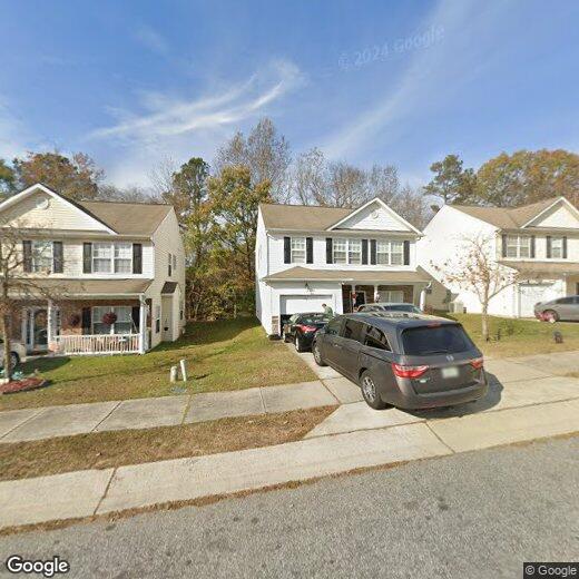
1232 Sweetgrass St
1232 Sweetgrass St
Knightdale, NC 27545
2 Weeks Ago
Favorites
1232 Sweetgrass St

Favorites
Check Back Soon for Upcoming Availability
Location
Get Directions
Knightdale rests along Interstate 540 and 87 just 13 miles east of Raleigh. This sprawling suburban community has a little something for everyone. There’s a number of contemporary residential developments that provide single-family home rentals and affordable apartment communities scattered around Knightdale. Where U.S. Highway 64 meets Interstate 540 is where you’ll find most of Knightdale’s retail and restaurants options, including familiar big-box stores and national chains. Further east along the highway is Knightdale Station Park, a welcome addition of green space in this fast-growing suburban community. Many families flock to Knightdale for an affordable rental that’s just minutes from the Raleigh-Durham metroplex. With the city so close, you can enjoy Downtown Raleigh in just minutes regardless if its for work or leisure.
Learn more about living in Knightdale
Education
| Colleges & Universities | Distance | ||
|---|---|---|---|
| Colleges & Universities | Distance | ||
| Drive: | 16 min | 9.9 mi | |
| Drive: | 18 min | 11.9 mi | |
| Drive: | 18 min | 12.5 mi | |
| Drive: | 21 min | 12.9 mi |
1232 Sweetgrass St is within 16 minutes or 9.9 miles from Wake Technical, Health Science. It is also near Shaw University and Wake Technical, Adult Edu Ctr.
You May Also Like
Similar Rentals Nearby


What Are Walk Score®, Transit Score®, and Bike Score® Ratings?
Walk Score® measures the walkability of any address. Transit Score® measures access to public transit. Bike Score® measures the bikeability of any address.
What is a Sound Score Rating?
A Sound Score Rating aggregates noise caused by vehicle traffic, airplane traffic and local sources