
$850 / Month
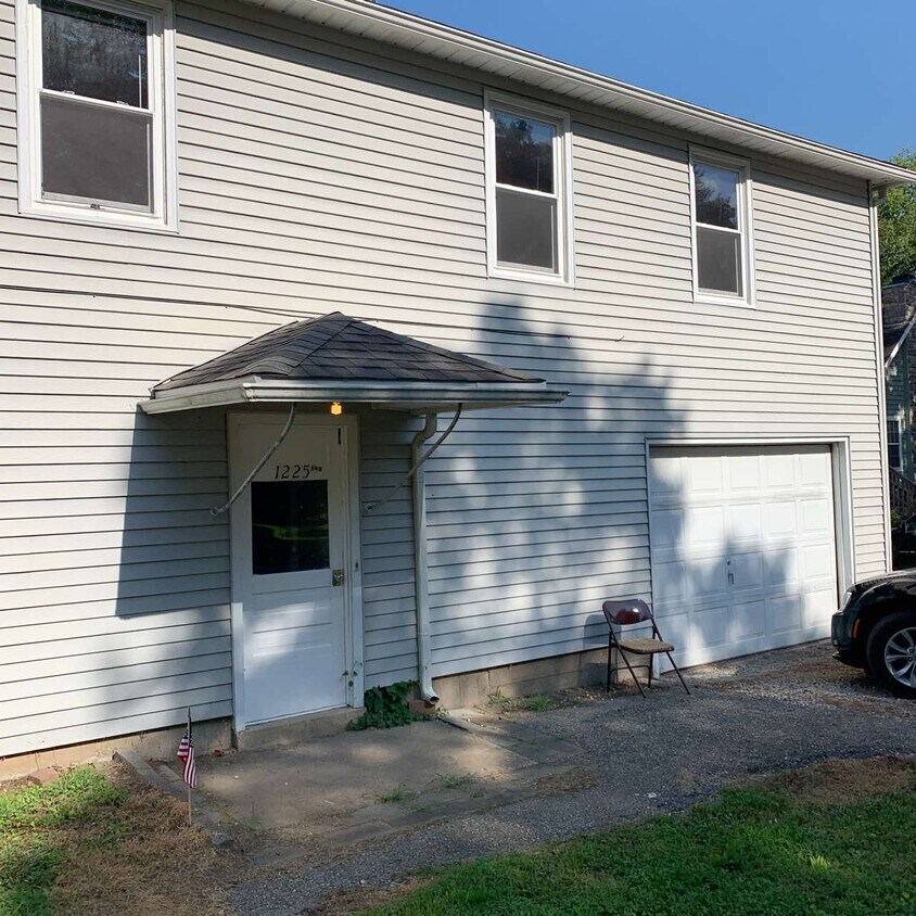
1225.5 High St
Baldwin City, KS 66006
2 Weeks Ago
Favorites
1225.5 High St

Favorites
Check Back Soon for Upcoming Availability
| Beds | Baths | Average SF |
|---|---|---|
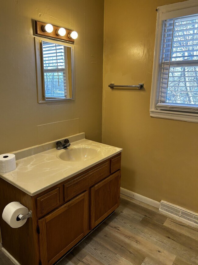
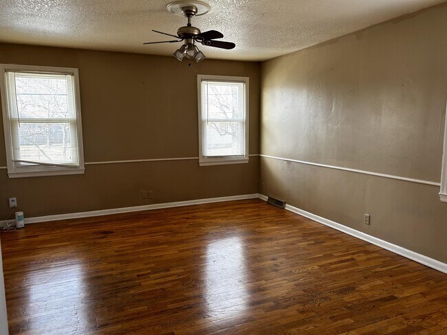
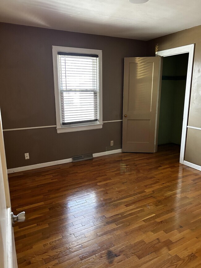
| 3 Bedrooms 3 Bedrooms 3 Br | 1 Bath 1 Bath 1 Ba | 875 SF |
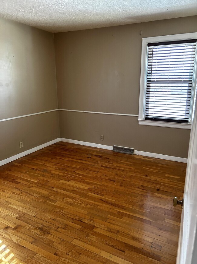
About This Property
3-BEDROOM 1-BATHROOM UPSTAIRS UNIT *** FOR IMMEDIATE RESPONSE TO THIS PROPERTY TEXT TAMARA AT LARGE KITCHEN WASHER AND DRYER ELECTRIC WATER PAID ELECTRIC STOVE/OVEN REFRIDGERATOR CENTRAL HEATING AND AIR NON-REFUNDABLE PET FEE PET RENT NO PETS OVER 25#'s NO MALE CATS -UPSTAIRS UNIT -3 BEDROOM 1 BATH
1225.5 High St is a house located in Douglas County and the 66006 ZIP Code. This area is served by the Baldwin City attendance zone.
Location
Get Directions
Education
| Colleges & Universities | Distance | ||
|---|---|---|---|
| Colleges & Universities | Distance | ||
| Walk: | 13 min | 0.7 mi | |
| Drive: | 24 min | 16.7 mi | |
| Drive: | 26 min | 17.6 mi | |
| Drive: | 38 min | 27.4 mi |
1225.5 High St is within 13 minutes or 0.7 mile from Baker University. It is also near Haskell Indian Nations Univ. and The University of Kansas.
Schools

Public Elementary School
Grades 3-5
271 Students
Attendance Zone
Public Elementary School
Grades PK-2
388 Students
Attendance Zone
Public Middle School
Grades 6-8
312 Students
Attendance Zone
Public High School
Grades 9-12
424 Students
Attendance Zone
Private Elementary School
Grades PK-5
86 Students
Nearby
Private Elementary, Middle & High School
Grades K-12
28 Students
Nearby
School data provided by
 The GreatSchools Rating helps parents compare schools within a state based on a variety of school quality indicators and provides a helpful picture of how effectively each school serves all of its students. Ratings are on a scale of 1 (below average) to 10 (above average) and can include test scores, college readiness, academic progress, advanced courses, equity, discipline and attendance data. We also advise parents to visit schools, consider other information on school performance and programs, and consider family needs as part of the school selection process.
View GreatSchools Rating Methodology
Data provided by GreatSchools.org © 2025. All rights reserved.
View GreatSchools Rating Methodology
Data provided by GreatSchools.org © 2025. All rights reserved.
You May Also Like
Similar Rentals Nearby


What Are Walk Score®, Transit Score®, and Bike Score® Ratings?
Walk Score® measures the walkability of any address. Transit Score® measures access to public transit. Bike Score® measures the bikeability of any address.
What is a Sound Score Rating?
A Sound Score Rating aggregates noise caused by vehicle traffic, airplane traffic and local sources

1225.5 High St
Baldwin City, KS 66006