
$1,950
Total Monthly Price
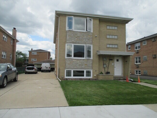
12254 S McDaniels St Unit #1
Alsip, IL 60803
Favorites
12254 S McDaniels St Unit #1

Favorites
Check Back Soon for Upcoming Availability
| Beds | Baths | Average SF |
|---|---|---|
| 3 Bedrooms 3 Bedrooms 3 Br | 1 Bath 1 Bath 1 Ba | 950 SF |
Fees and Policies
The fees listed below are community-provided and may exclude utilities or add-ons. All payments are made directly to the property and are non-refundable unless otherwise specified.
Details
Utilities Included
-
Water
Property Information
-
2 units
About This Property
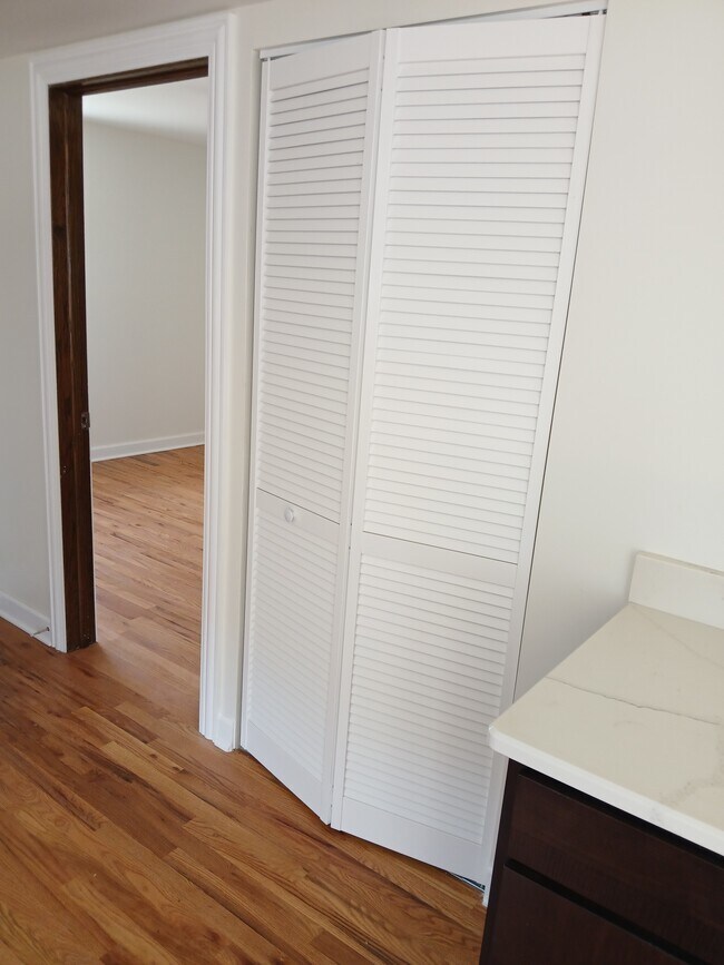
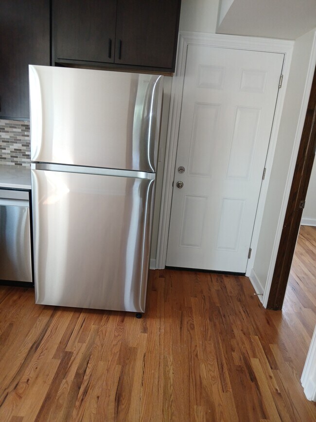
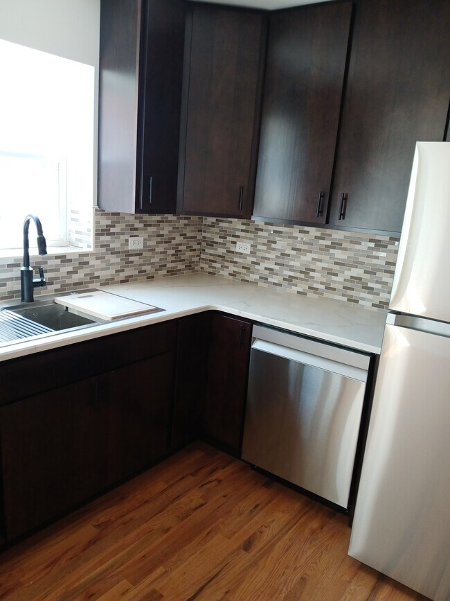
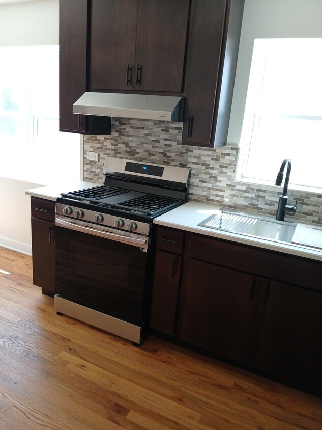
2 bedroom unit coming soon! Two unit building in Alsip. Laundry facilities in basement.
12254 S McDaniels St is an apartment community located in Cook County and the 60803 ZIP Code. This area is served by the Alsip-Hazlgrn-Oaklwn School District 126 attendance zone.
Apartment Features
- Air Conditioning
- Basement
- Laundry Facilities
12254 S McDaniels St,
Alsip,
IL
60803
Alsip is a Cook County village that sits squarely in the southwest suburbs of Chicago, close enough to the city to make a downtown commute realistic while still offering the quieter pace of a tight-knit community. Named after Frank Alsip, whose brickyard opened here in 1885, the village grew steadily after the Tri-State Tollway arrived in 1959, eventually reaching a population of nearly 19,000. Its location along Interstate 294 and Cicero Avenue keeps residents well connected to Oak Lawn to the north and the broader Chicago metro beyond.
The housing stock leans toward single-family homes and garden-style apartment communities, making it a solid option for renters who want more square footage than Chicago proper tends to offer at a comparable price. Rental options range from low-rise apartment communities to townhome-style units with outdoor space.
Learn more about living in Alsip
Amenities
- Air Conditioning
- Basement
- Laundry Facilities
Expenses
Utilities Included
Water
Included
Education
| Colleges & Universities | Distance | ||
|---|---|---|---|
| Colleges & Universities | Distance | ||
| Drive: | 11 min | 4.8 mi | |
| Drive: | 12 min | 6.7 mi | |
| Drive: | 14 min | 7.5 mi | |
| Drive: | 20 min | 9.9 mi |
12254 S McDaniels St Unit #1 is within 11 minutes or 4.8 miles from Saint Xavier University. It is also near Richard J. Daley College and Moraine Valley Comm. Coll..
Schools


Public Elementary School
Grades K-5
241 Students
Attendance Zone
Public Middle School
Grades 6-8
293 Students
Attendance Zone
Public High School
Grades 9-12
1,770 Students
Attendance Zone
Private Elementary & Middle School
Grades PK-8
174 Students
Nearby
Private High School
Grades 9-12
1,657 Students
Nearby
School data provided by
 The GreatSchools Rating helps parents compare schools within a state based on a variety of school quality indicators and provides a helpful picture of how effectively each school serves all of its students. Ratings are on a scale of 1 (below average) to 10 (above average) and can include test scores, college readiness, academic progress, advanced courses, equity, discipline and attendance data. We also advise parents to visit schools, consider other information on school performance and programs, and consider family needs as part of the school selection process.
View GreatSchools Rating Methodology
Data provided by GreatSchools.org © 2026. All rights reserved.
View GreatSchools Rating Methodology
Data provided by GreatSchools.org © 2026. All rights reserved.
Transportation options available in Alsip include Midway Terminal, located 8.3 miles from 12254 S McDaniels St Unit #1. 12254 S McDaniels St Unit #1 is near Chicago Midway International, located 9.3 miles or 16 minutes away, and Chicago O'Hare International, located 31.7 miles or 43 minutes away.
| Transit / Subway | Distance | ||
|---|---|---|---|
| Transit / Subway | Distance | ||
|
|
Drive: | 14 min | 8.3 mi |
|
|
Drive: | 18 min | 10.2 mi |
|
|
Drive: | 17 min | 10.2 mi |
|
|
Drive: | 20 min | 11.3 mi |
|
|
Drive: | 19 min | 11.4 mi |
| Commuter Rail | Distance | ||
|---|---|---|---|
| Commuter Rail | Distance | ||
|
|
Drive: | 7 min | 3.9 mi |
|
|
Drive: | 9 min | 4.4 mi |
|
|
Drive: | 8 min | 4.4 mi |
|
|
Drive: | 8 min | 4.6 mi |
|
|
Drive: | 9 min | 4.6 mi |
| Airports | Distance | ||
|---|---|---|---|
| Airports | Distance | ||
|
Chicago Midway International
|
Drive: | 16 min | 9.3 mi |
|
Chicago O'Hare International
|
Drive: | 43 min | 31.7 mi |
Walkability Near 12254 S McDaniels St Alsip, IL 60803
Getting Around
 What do Walkability, Transit, Drivability, and Bikeability mean?
Walkability measures the walking distance to day-to-day needs.
Transit measures access to public transportation.
Drivability measures congestion, parking availability, and access to major roads.
Bikeability measures the suitability for cycling.
How It Works
What do Walkability, Transit, Drivability, and Bikeability mean?
Walkability measures the walking distance to day-to-day needs.
Transit measures access to public transportation.
Drivability measures congestion, parking availability, and access to major roads.
Bikeability measures the suitability for cycling.
How It Works
Fairly Walkable
Walkability
40
/ 100
Limited Public Transit
Transit
30
/ 100
Exceptionally Drivable
Drivability
100
/ 100
Fairly Bikeable
Bikeability
50
/ 100
Scores provided by
Active
Soundscore™
72
/ 100
Traffic
BusyAirport
CalmBusinesses
ActiveScores provided by
HowLoud What is a Sound Score Rating? A Sound Score Rating aggregates noise caused by vehicle traffic, airplane traffic and local sources. How It WorksTime and distance from 12254 S McDaniels St Unit #1.
| Shopping Centers | Distance | ||
|---|---|---|---|
| Shopping Centers | Distance | ||
| Walk: | 4 min | 0.2 mi | |
| Walk: | 11 min | 0.6 mi | |
| Drive: | 3 min | 1.1 mi |
12254 S McDaniels St Unit #1 has 3 shopping centers within 1.1 miles, which is about a 3-minute drive. The miles and minutes will be for the farthest away property.
| Parks and Recreation | Distance | ||
|---|---|---|---|
| Parks and Recreation | Distance | ||
|
Mt. Greenwood Park
|
Drive: | 6 min | 3.1 mi |
|
Arrowhead Lake
|
Drive: | 8 min | 4.3 mi |
|
Lake Katherine Nature Center and Botanic Gardens
|
Drive: | 9 min | 4.7 mi |
|
Bur Oak Woods
|
Drive: | 10 min | 5.0 mi |
|
Munroe Park
|
Drive: | 11 min | 5.6 mi |
12254 S McDaniels St Unit #1 has 5 parks within 5.6 miles, including Mt. Greenwood Park, Lake Katherine Nature Center and Botanic Gardens, and Arrowhead Lake.
| Hospitals | Distance | ||
|---|---|---|---|
| Hospitals | Distance | ||
| Drive: | 6 min | 4.1 mi | |
| Drive: | 9 min | 5.3 mi | |
| Drive: | 10 min | 6.2 mi |
12254 S McDaniels St Unit #1 has 3 hospitals within 6.2 miles, the nearest is Advocate Christ Hospital & Medical Center which is 4.1 miles away and a 6 minute drive.
| Military Bases | Distance | ||
|---|---|---|---|
| Military Bases | Distance | ||
| Drive: | 44 min | 31.8 mi | |
| Drive: | 55 min | 36.8 mi | |
| Drive: | 66 min | 39.4 mi |
12254 S McDaniels St Unit #1 has 3 military bases within 39.4 miles, the nearest is US Military Reservation Naperville which is 31.8 miles away and a 44 minute drive.
You May Also Like
Similar Rentals Nearby


What Are Walk Score®, Transit Score®, and Bike Score® Ratings?
Walk Score® measures the walkability of any address. Transit Score® measures access to public transit. Bike Score® measures the bikeability of any address.
What is a Sound Score Rating?
A Sound Score Rating aggregates noise caused by vehicle traffic, airplane traffic and local sources.
12254 S McDaniels St
Alsip, IL 60803