

3 Beds, 1.5 Baths, 1,191 sq ft
$750
Total Monthly Price
12 Month Lease
Total Monthly Price
New
Prices include all required monthly fees.
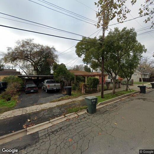
8732 Woodman Way Unit C


