


3 Beds
$2,961+
4 Beds
$3,636+
Total Monthly Price
12 Month Lease
Total Monthly Price
New
Prices include base rent and required monthly fees of $5. Variable costs based on usage may apply.
Base Rent:
3 Beds
$2,955+
4 Beds
$3,630+
1 Month Free
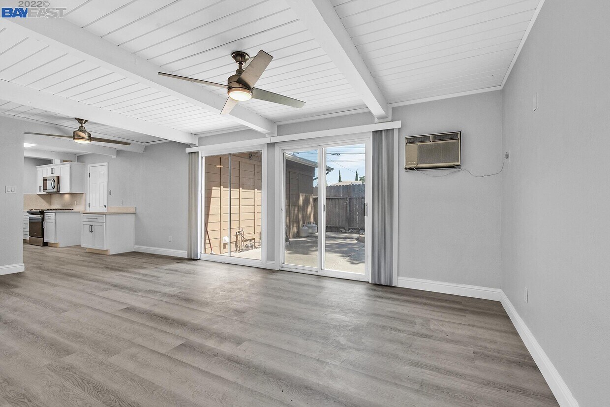
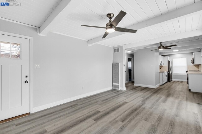
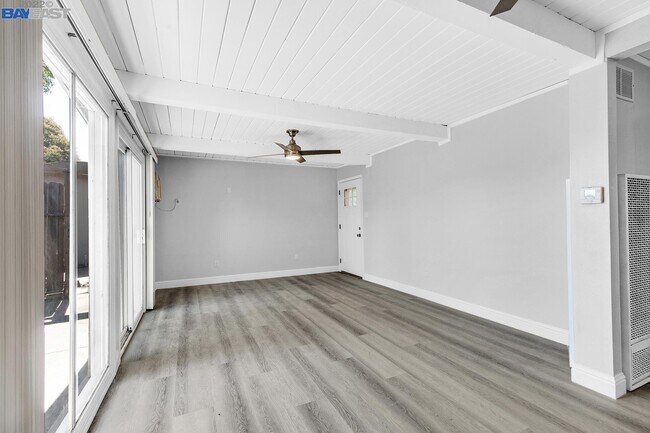
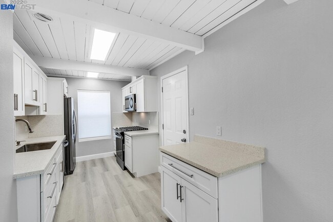
Pets Allowed Fitness Center Pool Stainless Steel Appliances