
$1,675
/ Month
11413-11415 19th Ave Ct S Unit 11415
Parkland, WA 98444
2 Weeks Ago
|
Edit
Favorites
11413-11415 19th Ave Ct S Unit 11415

Favorites
Check Back Soon for Upcoming Availability
| Beds | Baths | Average SF |
|---|---|---|
| 2 Bedrooms 2 Bedrooms 2 Br | 1 Bath 1 Bath 1 Ba | 800 SF |
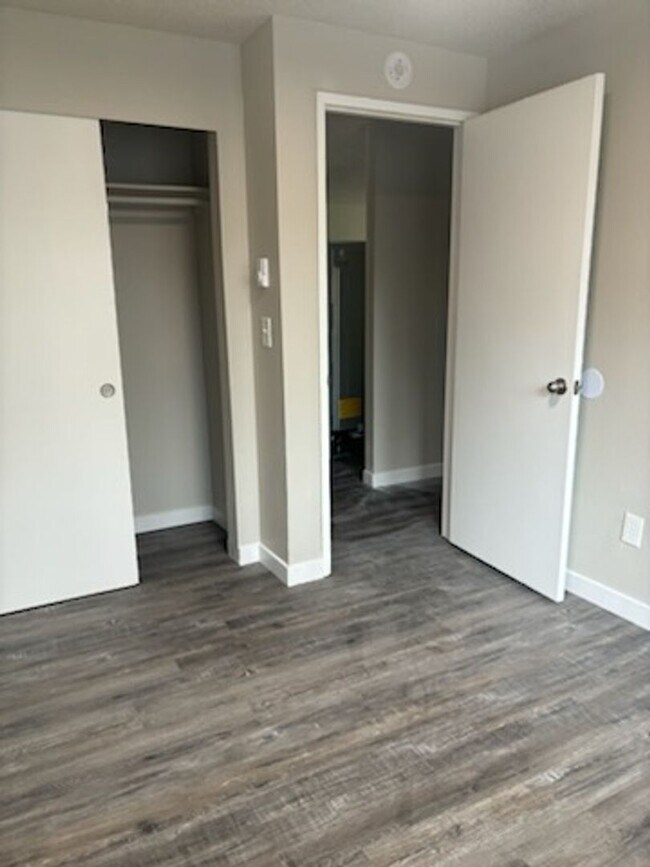
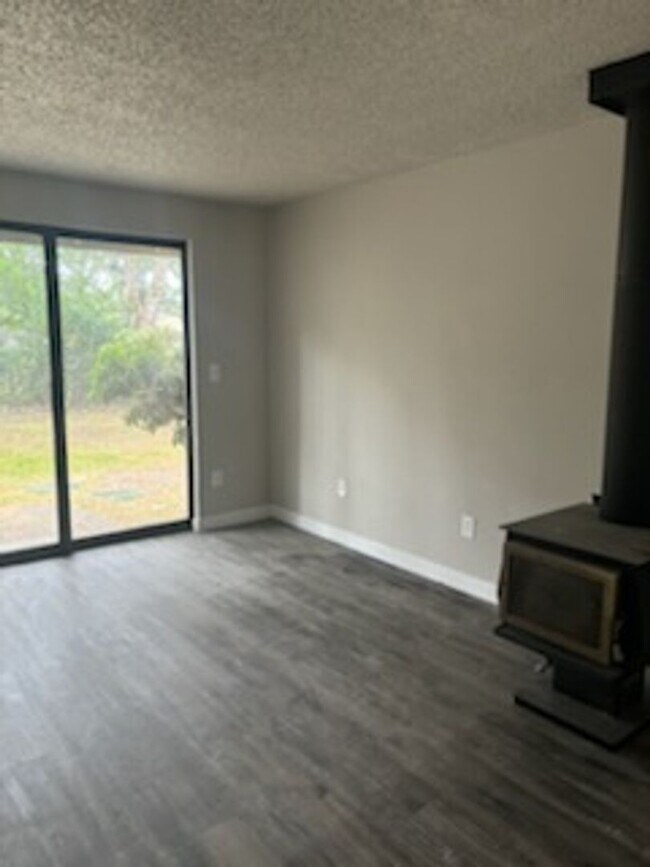
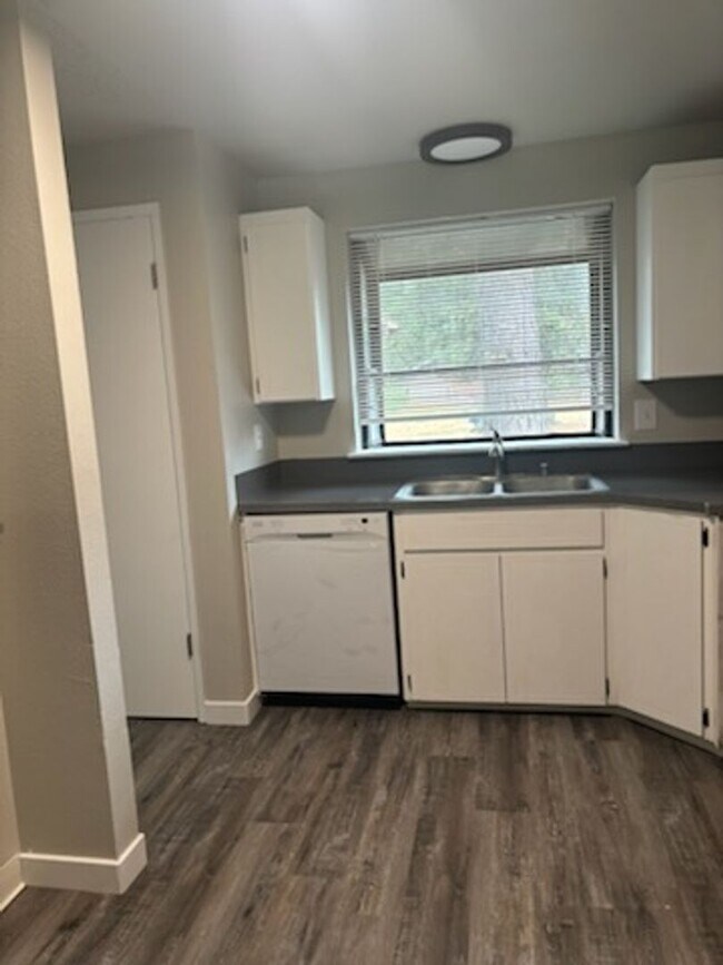
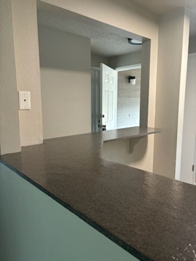
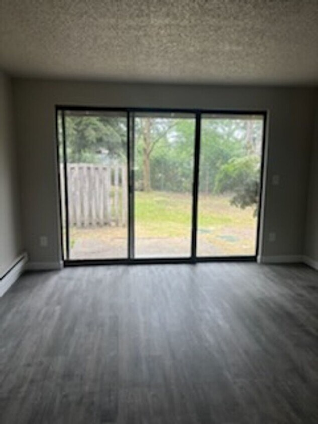
About This Property
Explore this charming property in Parkland, WA. The 11413-11415 19th Ave Ct S location in the 98444 area of Parkland is perfectly situated for work or play. With this great space, you're right at home. Reach out to schedule a personal showing.
11413-11415 19th Ave Ct S is an apartment community located in Pierce County and the 98444 ZIP Code.
11413-11415 19th Ave Ct S,
Parkland,
WA
98444
Education
| Colleges & Universities | Distance | ||
|---|---|---|---|
| Colleges & Universities | Distance | ||
| Drive: | 4 min | 1.9 mi | |
| Drive: | 7 min | 3.7 mi | |
| Drive: | 16 min | 7.8 mi | |
| Drive: | 14 min | 8.5 mi |
11413-11415 19th Ave Ct S Unit 11415 is within 4 minutes or 1.9 miles from Pacific Lutheran University. It is also near Clover Park Technical College and Pierce College Fort Steilacoom.
Transportation options available in Parkland include South 25Th, located 7.5 miles from 11413-11415 19th Ave Ct S Unit 11415. 11413-11415 19th Ave Ct S Unit 11415 is near Seattle-Tacoma International, located 28.8 miles or 44 minutes away.
| Transit / Subway | Distance | ||
|---|---|---|---|
| Transit / Subway | Distance | ||
|
|
Drive: | 13 min | 7.5 mi |
| Drive: | 14 min | 8.3 mi | |
| Drive: | 15 min | 8.5 mi | |
| Drive: | 15 min | 8.7 mi | |
|
|
Drive: | 14 min | 9.1 mi |
| Commuter Rail | Distance | ||
|---|---|---|---|
| Commuter Rail | Distance | ||
| Drive: | 5 min | 3.1 mi | |
| Drive: | 8 min | 4.9 mi | |
|
|
Drive: | 14 min | 7.8 mi |
|
Olympia-Lacey Amtrak Station
|
Drive: | 40 min | 24.3 mi |
|
|
Drive: | 52 min | 39.3 mi |
| Airports | Distance | ||
|---|---|---|---|
| Airports | Distance | ||
|
Seattle-Tacoma International
|
Drive: | 44 min | 28.8 mi |
Walkability Near 11413-11415 19th Ave Ct S Parkland, WA 98444
Getting Around
 What do Walkability, Transit, Drivability, and Bikeability mean?
Walkability measures the walking distance to day-to-day needs.
Transit measures access to public transportation.
Drivability measures congestion, parking availability, and access to major roads.
Bikeability measures the suitability for cycling.
How It Works
What do Walkability, Transit, Drivability, and Bikeability mean?
Walkability measures the walking distance to day-to-day needs.
Transit measures access to public transportation.
Drivability measures congestion, parking availability, and access to major roads.
Bikeability measures the suitability for cycling.
How It Works
Fairly Walkable
Walkability
40
/ 100
Limited Public Transit
Transit
20
/ 100
Exceptionally Drivable
Drivability
100
/ 100
Fairly Bikeable
Bikeability
40
/ 100
Scores provided by
-
Soundscore™
-
/ 100
Traffic
-Airport
-Businesses
-Scores provided by
HowLoud What is a Sound Score Rating? A Sound Score Rating aggregates noise caused by vehicle traffic, airplane traffic and local sources. How It WorksTime and distance from 11413-11415 19th Ave Ct S Unit 11415.
| Shopping Centers | Distance | ||
|---|---|---|---|
| Shopping Centers | Distance | ||
| Walk: | 8 min | 0.5 mi | |
| Walk: | 14 min | 0.7 mi | |
| Drive: | 3 min | 1.5 mi |
11413-11415 19th Ave Ct S Unit 11415 has 3 shopping centers within 1.5 miles, which is about a 3-minute drive. The miles and minutes will be for the farthest away property.
| Parks and Recreation | Distance | ||
|---|---|---|---|
| Parks and Recreation | Distance | ||
|
Wards Lake Park
|
Drive: | 6 min | 3.0 mi |
|
Bresemann Forest
|
Drive: | 6 min | 3.0 mi |
|
Spanaway Park
|
Drive: | 7 min | 3.1 mi |
|
Seeley Lake Park
|
Drive: | 7 min | 3.7 mi |
|
Lakewold Gardens
|
Drive: | 10 min | 5.6 mi |
11413-11415 19th Ave Ct S Unit 11415 has 5 parks within 5.6 miles, including Bresemann Forest, Wards Lake Park, and Spanaway Park.
| Hospitals | Distance | ||
|---|---|---|---|
| Hospitals | Distance | ||
| Drive: | 6 min | 3.7 mi | |
| Drive: | 15 min | 7.6 mi | |
| Drive: | 14 min | 8.3 mi |
11413-11415 19th Ave Ct S Unit 11415 has 3 hospitals within 8.3 miles, the nearest is St. Clare Hospital which is 3.7 miles away and a 6 minute drive.
| Military Bases | Distance | ||
|---|---|---|---|
| Military Bases | Distance | ||
| Drive: | 11 min | 5.3 mi | |
| Drive: | 14 min | 7.6 mi | |
| Drive: | 28 min | 12.8 mi |
11413-11415 19th Ave Ct S Unit 11415 has 3 military bases within 12.8 miles, the nearest is McChord Air Force Base which is 5.3 miles away and a 11 minute drive.
You May Also Like
Similar Rentals Nearby


What Are Walk Score®, Transit Score®, and Bike Score® Ratings?
Walk Score® measures the walkability of any address. Transit Score® measures access to public transit. Bike Score® measures the bikeability of any address.
What is a Sound Score Rating?
A Sound Score Rating aggregates noise caused by vehicle traffic, airplane traffic and local sources.
11413-11415 19th Ave Ct S
Parkland, WA 98444