
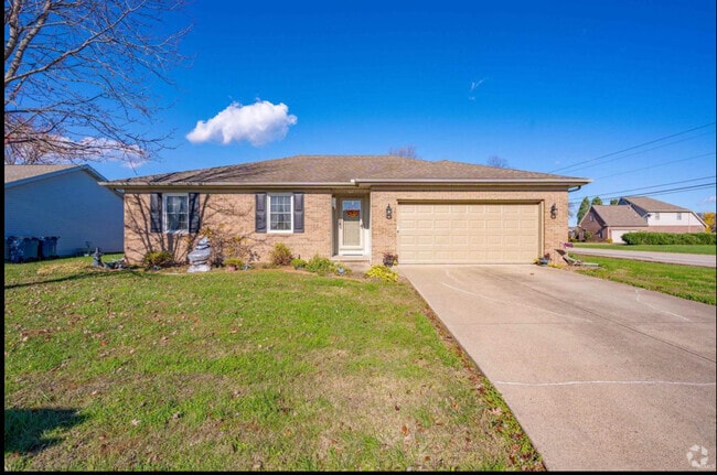
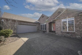
1120 State Route 662 W
Newburgh, IN 47630
Favorites
1120 State Route 662 W

Favorites
Check Back Soon for Upcoming Availability
| Beds | Baths | Average SF |
|---|---|---|
| 1 Bedroom 1 Bedroom 1 Br | 1 Bath 1 Bath 1 Ba | — |
Location
Get Directions
Situated along the Ohio River in southwestern Indiana, Newburgh is the setting for idyllic suburban scenes and an incredible, family-oriented community. Dazzling apartment communities, newer residential developments, and colorful longstanding homes can be found near the water or farther north near Camp Brosend. Unique local eateries and cafes line Jennings Street and State Street along with community parks and gardens.
Newburg is popular with families because of its relative affordability and incredible public schools. John H. Castle Elementary and Castle South Middle are just a few of the highly-rated institutes that serve the residents of the area. Newburgh’s proximity to Interstate 69 and the Kentucky and Illinois borders means it’s easy to explore this charming Midwest region.
Learn more about living in Newburgh
Education
| Colleges & Universities | Distance | ||
|---|---|---|---|
| Colleges & Universities | Distance | ||
| Drive: | 14 min | 7.9 mi | |
| Drive: | 25 min | 15.9 mi | |
| Drive: | 39 min | 32.0 mi |
1120 State Route 662 W is within 14 minutes or 7.9 miles from University of Evansville. It is also near University of Southern Indiana and Oakland City University.
Schools


Public Elementary School
Grades K-5
547 Students
Nearby
Public Elementary School
Grades K-5
629 Students
Attendance Zone
Public Middle School
Grades 6-8
770 Students
Attendance Zone
Public High School
Grades 9-12
1,961 Students
Attendance Zone
Private Elementary, Middle & High School
Grades PK-12
57 Students
Nearby
Private Elementary & Middle School
Grades PK-8
388 Students
Nearby
School data provided by
 The GreatSchools Rating helps parents compare schools within a state based on a variety of school quality indicators and provides a helpful picture of how effectively each school serves all of its students. Ratings are on a scale of 1 (below average) to 10 (above average) and can include test scores, college readiness, academic progress, advanced courses, equity, discipline and attendance data. We also advise parents to visit schools, consider other information on school performance and programs, and consider family needs as part of the school selection process.
View GreatSchools Rating Methodology
View GreatSchools Rating Methodology
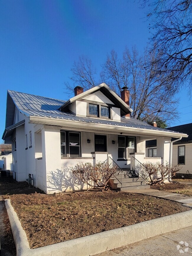
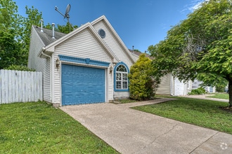
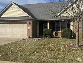
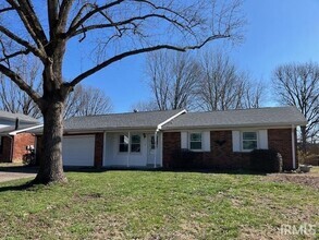
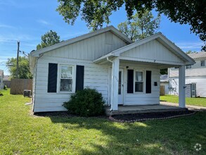
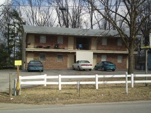
You May Also Like
Similar Rentals Nearby


What Are Walk Score®, Transit Score®, and Bike Score® Ratings?
Walk Score® measures the walkability of any address. Transit Score® measures access to public transit. Bike Score® measures the bikeability of any address.
What is a Sound Score Rating?
A Sound Score Rating aggregates noise caused by vehicle traffic, airplane traffic and local sources
1120 State Route 662 W
Newburgh, IN 47630